

Western Australia is famous for its incredible landscapes, and offers arguably some of the most spectacular coastal, bush and outback scenery in the world. Additionally, we have a giant network of trails to access this scenery, and many within a short drive of Perth, plus we have one of the best climates in the world (how good is WA!?).
This is our top pick of trails for all you fast-footed trail runners, from rugged coastal cliff routes, to plunging waterfalls and lush forests – all within a 90-minute drive of Perth. Lace up your runners and get out there!
Perth and Perth Hills (less than 1 hour from Perth Metro Area)
Law Walk Loop, Kings Park, Perth | 3.7km | Class 1
Kings Park is one of the largest inner-city parks, and a stunning example of successful environmental conservation efforts. You’ll be rewarded with fantastic views of the city, surrounding Swan River and Matilda Bay, as well as stunning blooms of wildflowers in the springtime. The Law Walk Loop might be a little short, but don’t worry, you can continue to Forrest Drive and connect on to the many other trails that go through or circumnavigate the park for a longer run.
Zamia Trail, Bold Park, Floreat | 5.1km | Class 3
Bold Park is one of many large metro bushland areas in Perth but is unique in its large size and proximity to the coast, offering excellent views of the ocean. Zamia trail is the longest trail within Bold Park, looping around the entire park, with the option to start and finish at Reabold Hill carpark. Bonus points for finishing with a dash up Reabold Hill Summit Boardwalk, where you’ll be rewarded with fantastic views of the city and surrounding suburbs. Top tip: best experienced at dawn.
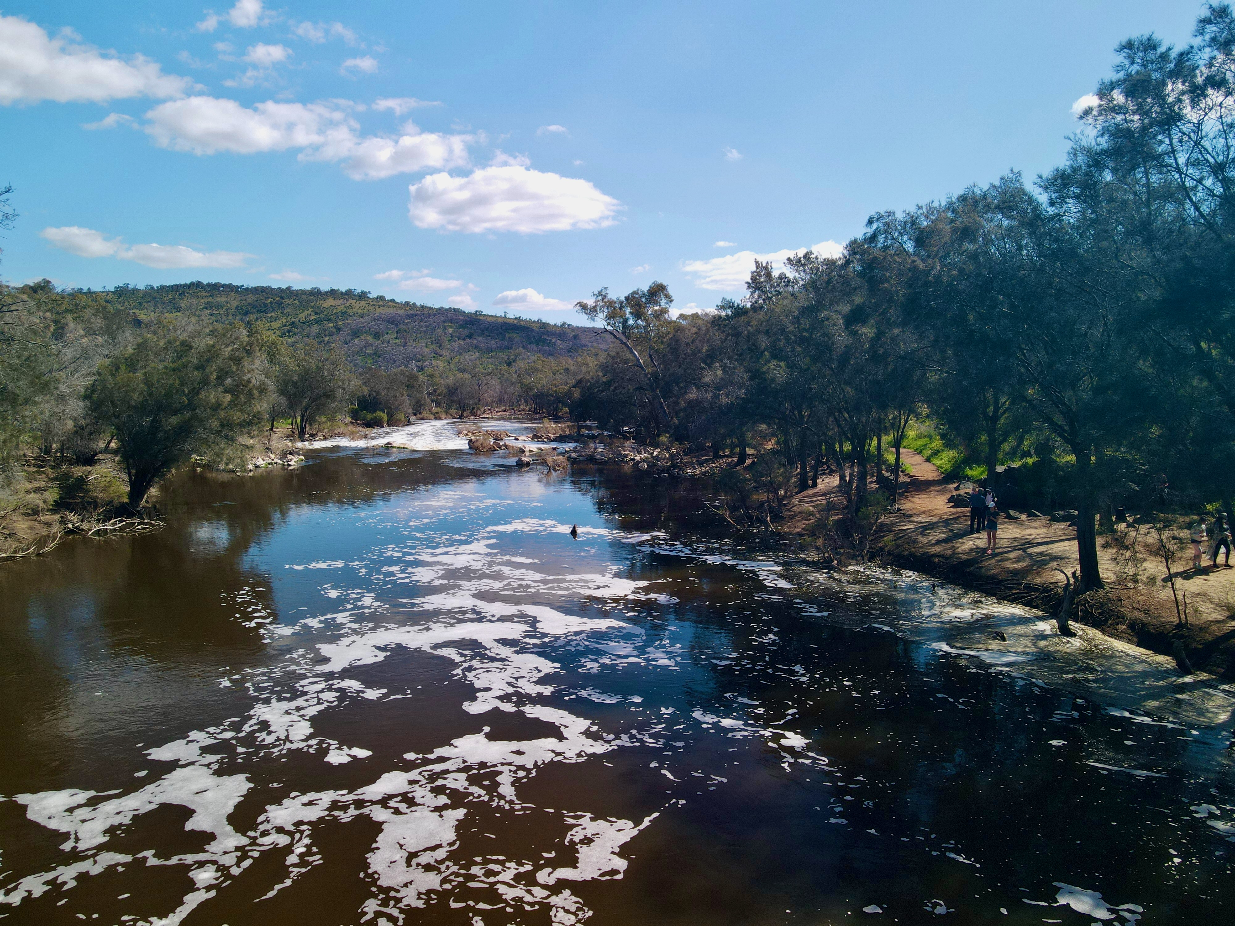
Syd’s Rapids & Aboriginal Heritage Trail, Walyunga NP | 5.1km | Class 1
This easy trail starts at the Walyunga Day Use Area, nestled alongside the picturesque Walyunga Pool on the Avon River. This trail is an easy gradient and a great option for an easier run. For something a little more challenging, continue to connect to the Echidna Trail, an 11km, class 3 loop looping up a steep gravel track to Woodsome Hill where you’ll be rewarded with excellent views of the surrounding Avon Valley.
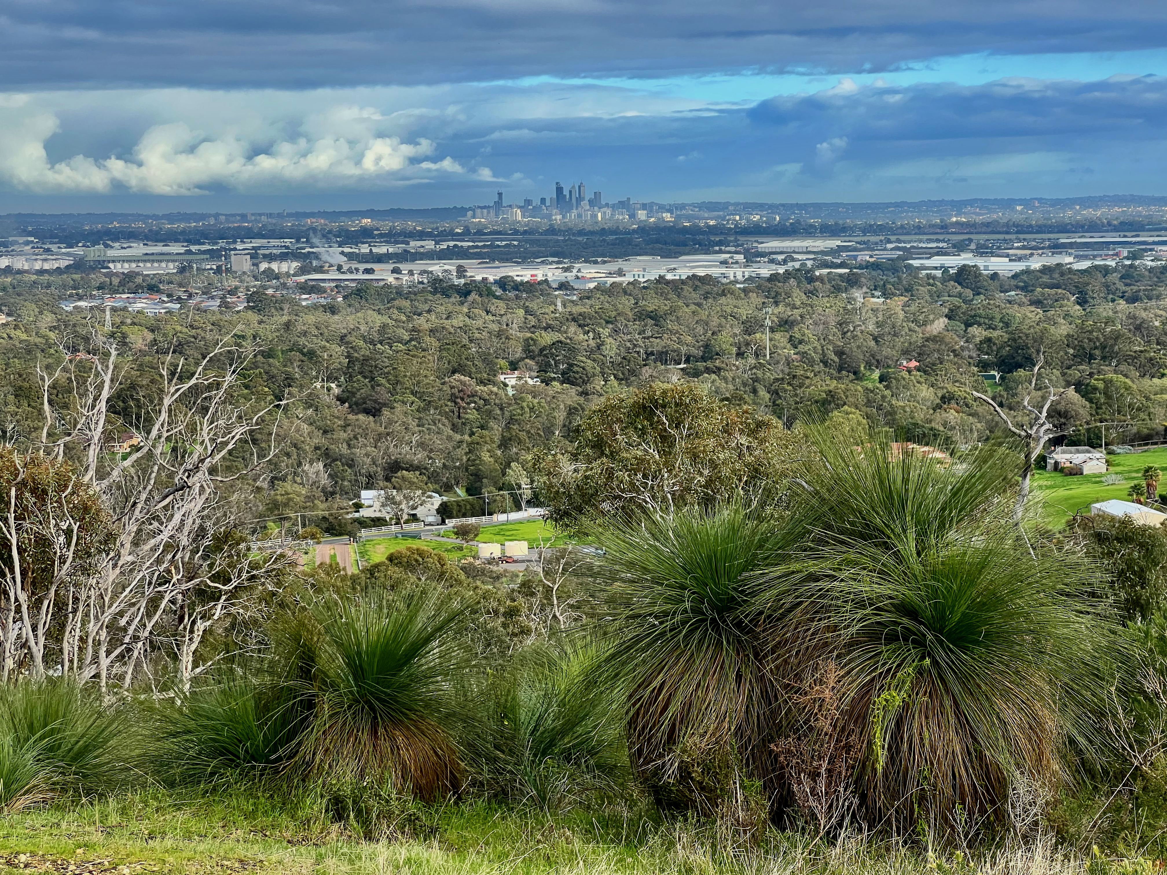
Xanthorrhoea Trail, Mundy RP | 5.38km | Class 3
Don’t be fooled by the shorter distance, this trail has some big hills! Starting at the end of Lewis Road in Mundy Regional Park, this trail provides great views of the city from the Darling Escarpment, and in the wintertime is lined with lush green surroundings and little babbling brooks.
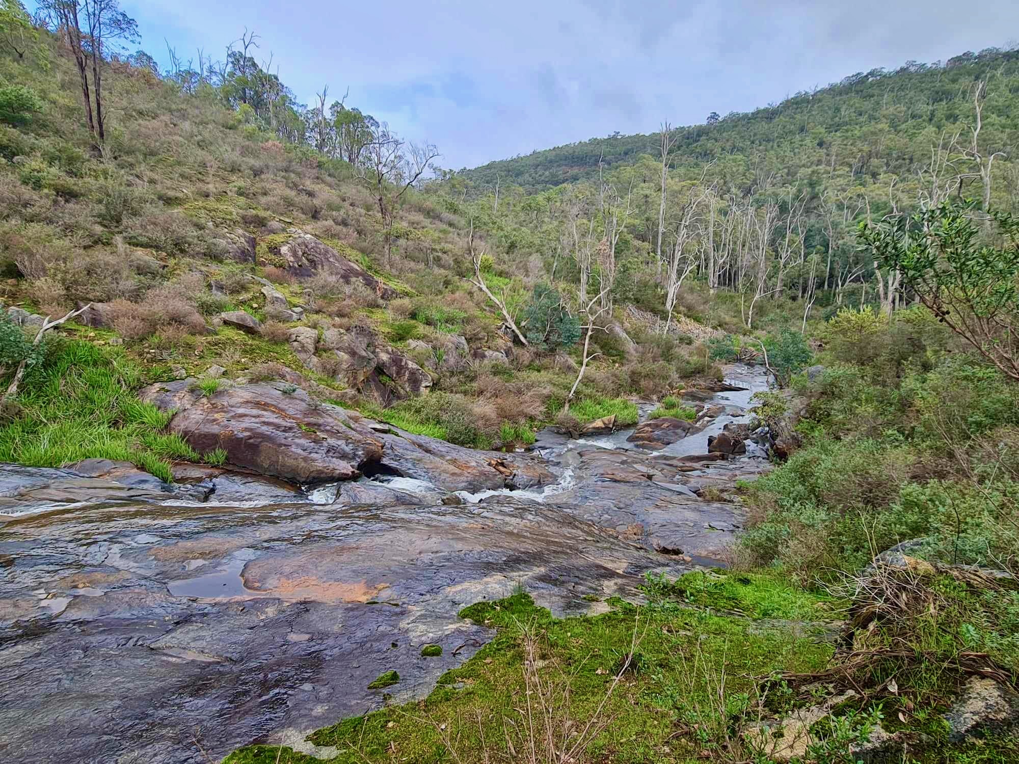
Eagle View Walk, John Forrest NP | 16km | Class 4
John Forrest National Park is just a 40-minute drive east of Perth and there’s many other trails to explore in the park to make a day of it. Eagle View Walk is the longest within the National Park (no, Railway Reserves doesn’t count as it’s not entirely within the National Park) and passes by both two major waterfalls in the park. This challenging trail offers views all the way to the coast, you’ll wind up and down valleys and creek lines before heading back to the main visitor area where you might catch the coffee van for a well-earned cup of goodness.
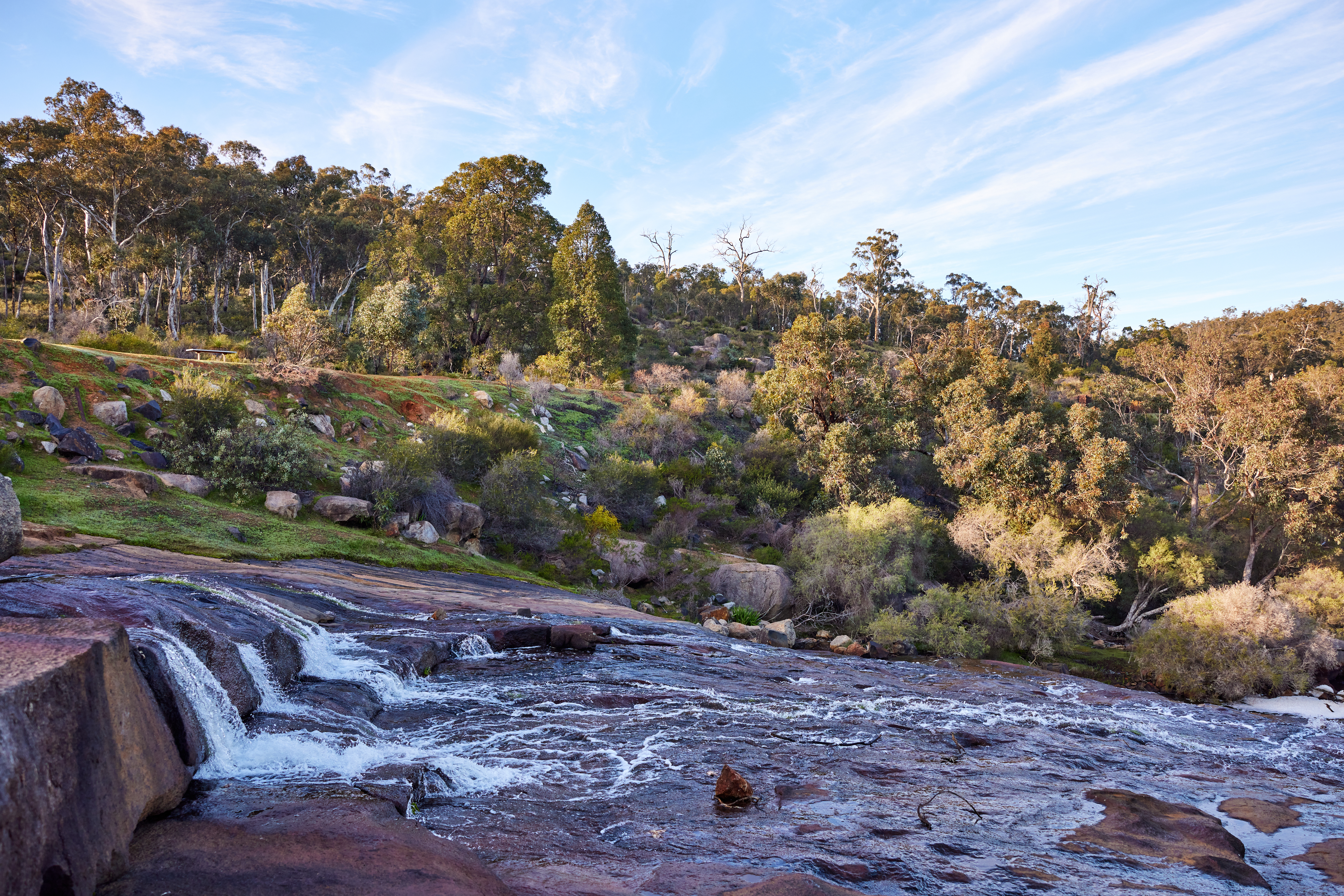
Kitty’s Gorge, Serpentine NP | 17km | Class 4
This iconic return trail located in the gorgeous Serpentine NP will not disappoint. Starting at the day use area, you’ll start by passing by the famous Serpentine Falls, then continue along Gooralong Brook, through woodlands, granite outcrops and many wildflowers and fungi dotted along the way.
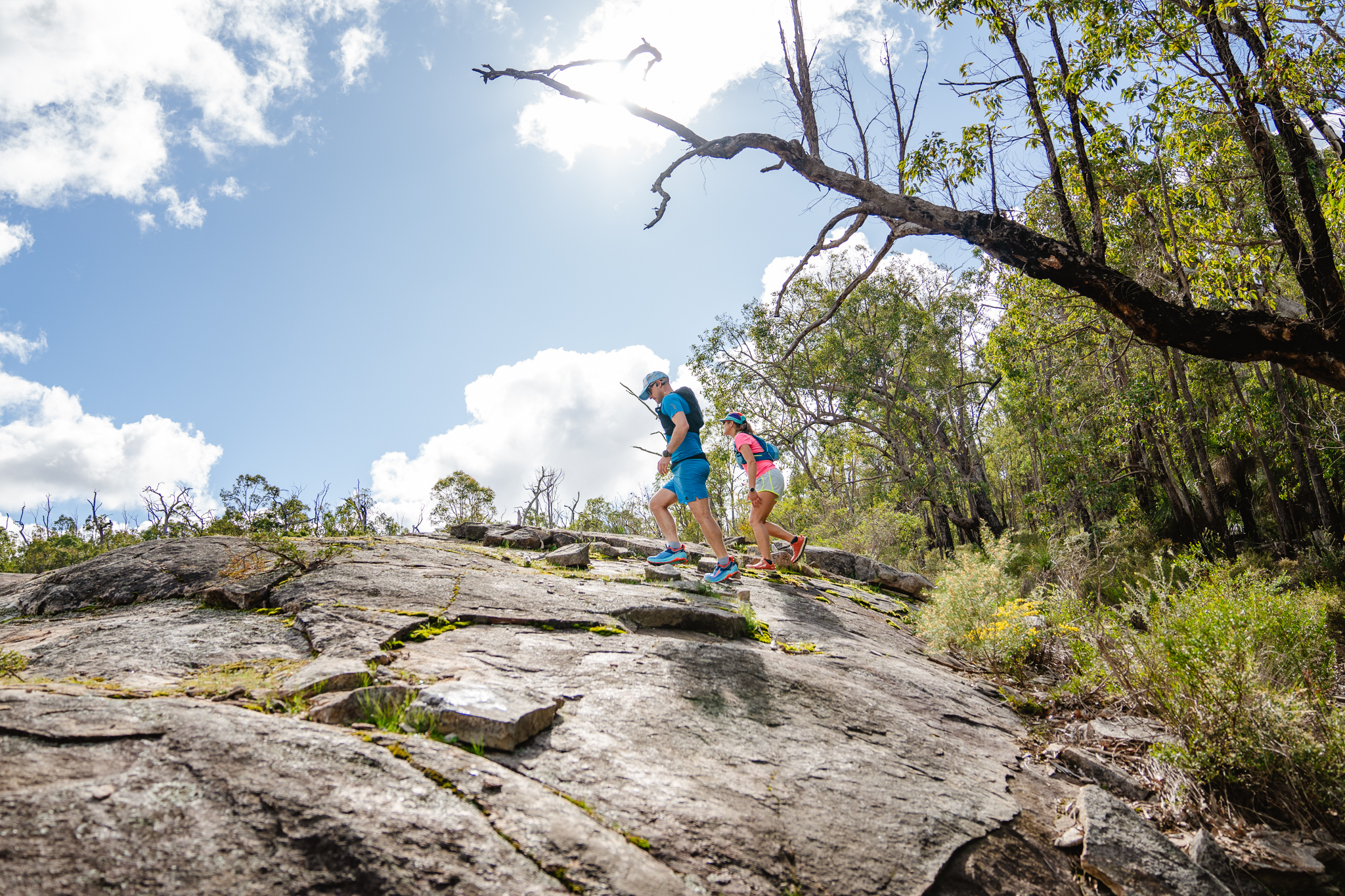
Bibb Track Sectional | Sullivan Rock to Mount Cooke | 18.4km | Class 4
This is just one of the many sectionals of the world class 1000km Bibbulmun Track, which stretches between Perth and Albany. Starting at the Sullivan Rock Picnic Area, youll head off and up, to the top of Mounte Cooke - the highest point in the Darling Range. Top tip: the view from "the top" isn't actually that good. Continue past the summit to the southern side of Mt Cooke for spectacular views.
Regional Trails – South West and Coral Coast
For a bonus round we’ve picked out some great regional trails for those looking to burn some off some energy on their next escape.
Cape To Cape, Margaret River | 123km | Class 3
This very famous and popular trail is long, however the great thing about it is you can see many of the fantastic sights along the trail in sectionals utilising the various access tracks – many of which are 4WD however, so choose wisely!
Try return sections starting from the following locations:
- Margaret River: start at Riflebutts Reserve in Prevelly and head north or south on the track.
- Cape Naturaliste Lighthouse: there’s ample parking at the lighthouse, and as this is the northern most point, you’ll need to head south toward the stunning Sugarloaf Rock.
- Moses Rock North Carpark: head north out to the base of Quinninup Falls (1.9km) or keep going for a longer jaunt.
- Cape Leeuwin Lighthouse Carpark: this is the southern terminus of the Cape to Cape, and a great opportunity to experience the more rugged end of the trail.
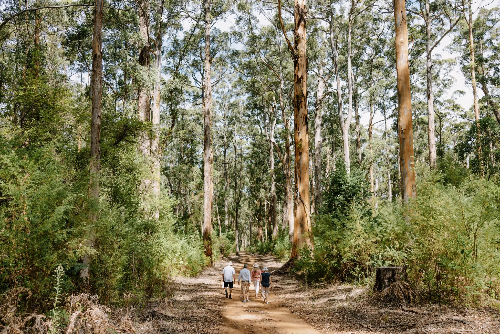
Gloucester Tree to Cascades, Gloucester NP, Pemberton | 12km | Class 3
Starting at the world’s tallest climbing tree, this trail will take you under the canopy of giant karri trees, and along babbling rapids along Lefroy Brook. Please note, the Gloucester Tree is closed for climbing whilst some tlc is being carried out.
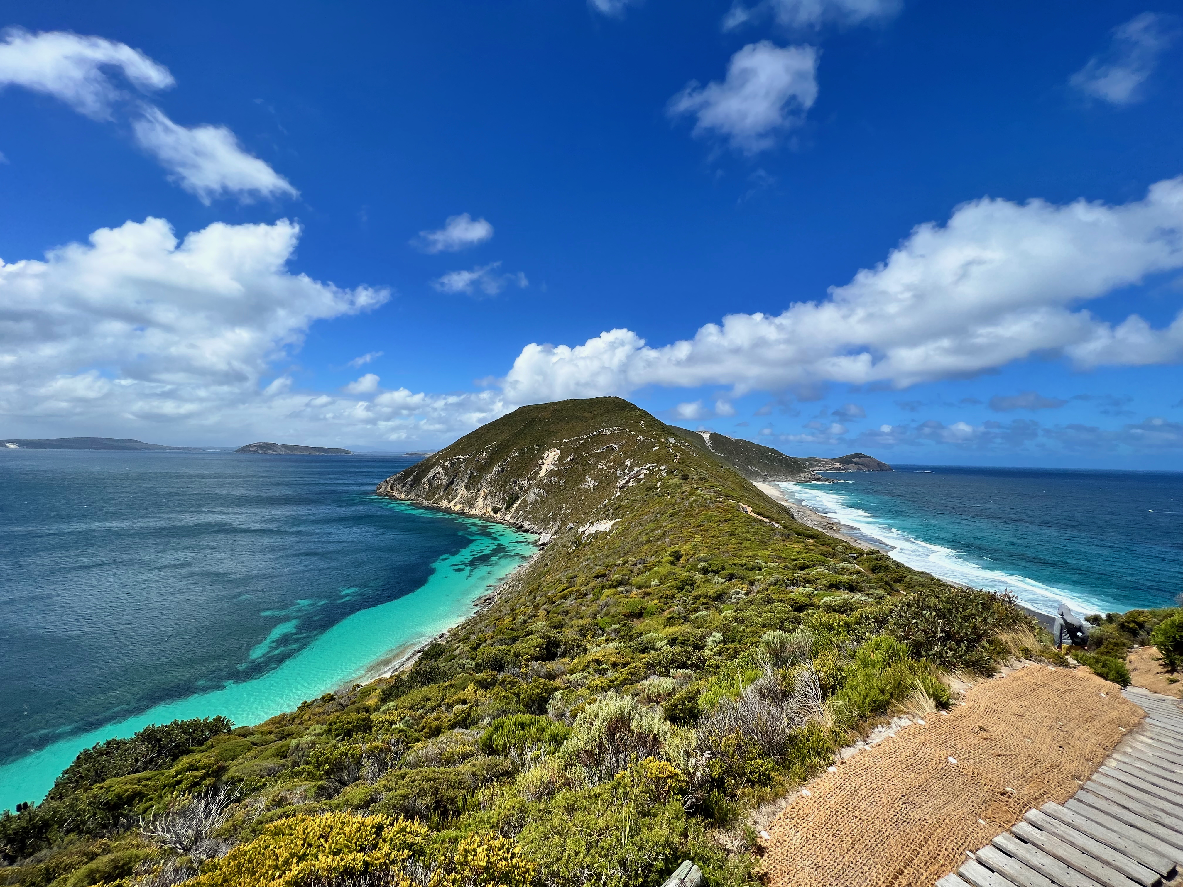
Bald Head, Torndirrup NP | 12.5km | Class 4
A little out of the way, but this trail is well worth adding to the bucket list. Located on the Flinders Peninsula, this trail is a rollercoaster ride of stairs, mini-scrambles and unbelievable views of the very wild coastline.
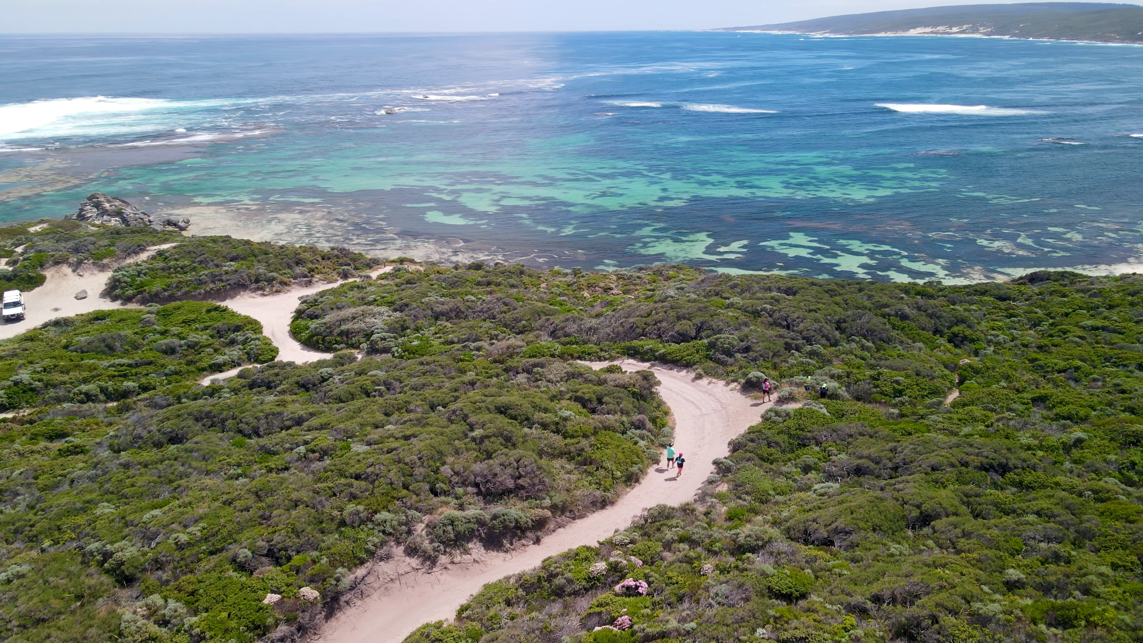
Bigurda Trail, Kalbarri NP | 8km | Class 3
Hugging the coastline between Eagle Gorge and Natural Bridge, this trail offers stunning ocean views the entire way. You’ll need to arrange drop off at one end, or alternatively take a little breather then run back to the start! The weather can get very hot here, please take notice of the signage and only attempt in the cooler months from May to October.
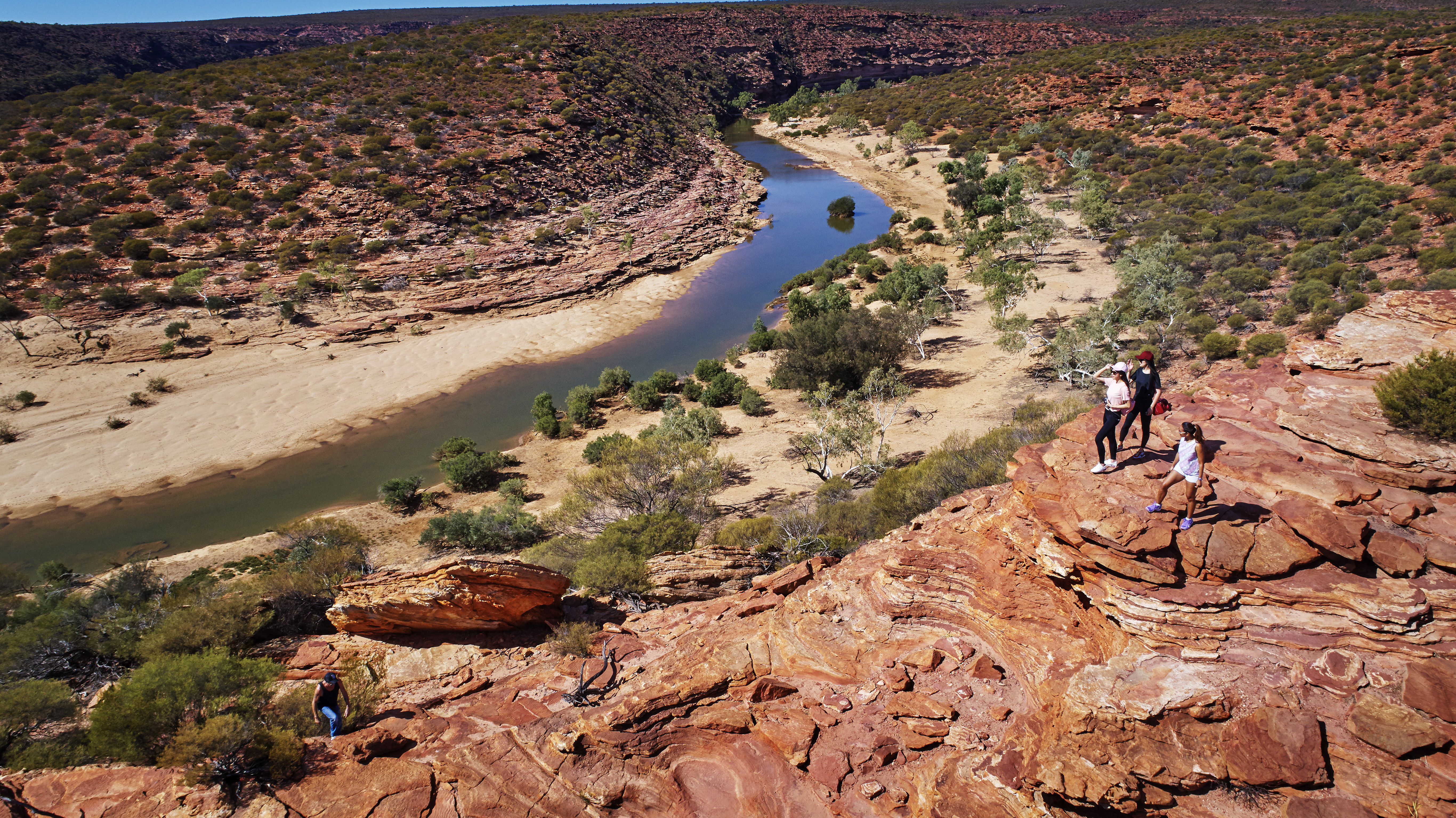
The Loop Trail, Kalbarri NP | 9km | Class 4
Heading to the inland section of the park, The Loop Trail will take you past the iconic Nature’s Window, then continues along the cliff edge with sweeping views of the Murchison River below. As per above, best attempted in the cooler months from May to October.
What does the "Class" mean? Great question, this is the classification of the trail, and will indicate what you might expect for each of the trails in Western Australia. Find out more on our Trail Tips page.
