Skip to Content Skip to Navigation Show Trail Map Show About the Trail Show Important Trail Details Read Trail Reviews
Support Our Trails

Eagle View Walk, John Forrest NP Eagle View Walk, John Forrest NP

Bush Walk

(+1)
Trail Running
 in Perth & Surrounds

Part of John Forrest National Park network
  • Full day
  • 16 km
    • Bush Walk Class 4

      Difficult trail with rough surface that may have very steep hills or extensive rock hopping. Directional signage may be limited. Bushwalking experience, navigation and emergency first aid skills, and good fitness required.

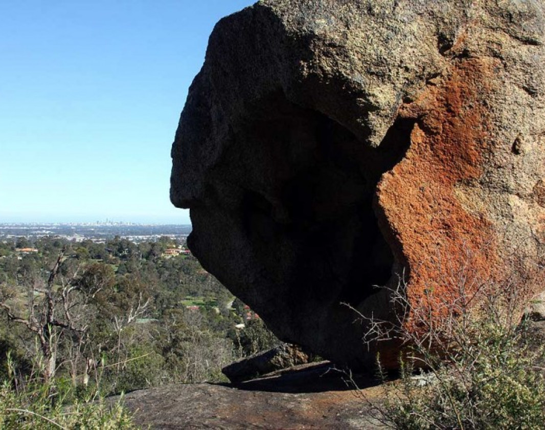
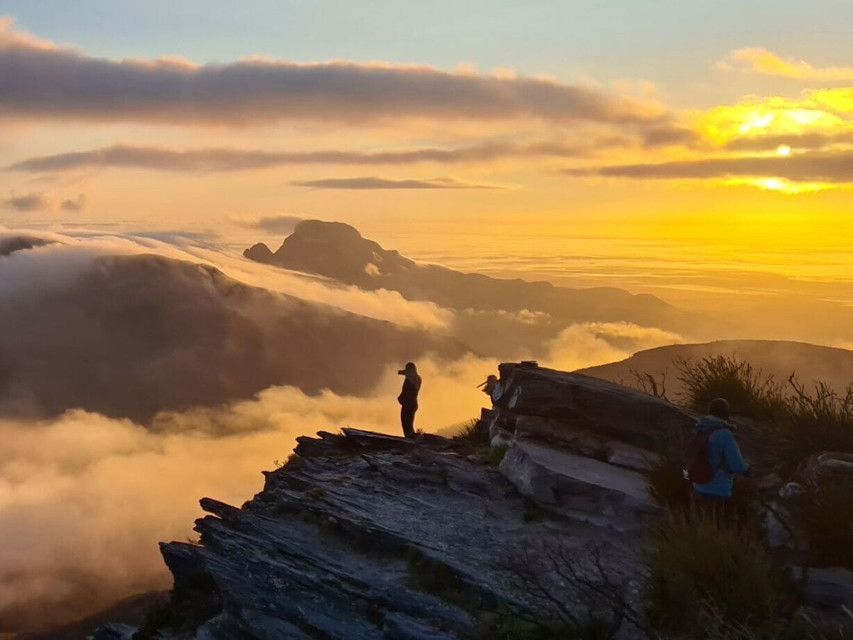
This challenging 16km circuit walk around John Forrest National Park offers great views across the Swan Coastal Plain to Perth city and the ocean in the distance. The trail is a bushwalker’s delight, covering a variety of relatively pristine habitats, passing beautiful waterfalls and boasting spectacular wildflower displays in Spring.

Bridge J F N P K. Stevens
Earn 2 Points Waterfalls Popular Trail Wildflower Wanderer
Logo for Leave no Trace Initiative

Trails WA supports the seven principles recommended by Leave No Trace Australia for minimising your impacts when using the trails.

Learn more

Situated in the Darling Ranges, John Forrest is the oldest National Park in Western Australia and passes through varied vegetation types, including heathlands, open wandoo woodlands and mixed jarrah marri-wandoo forest.

The Eagle View Walk Trail takes walkers away from the picnic areas, initially following Jane Brook. It then climbs to a point where hikers can admire the sprawling view of the Swan Coastal Plain. The trail then weaves its way up and down valleys, creek lines and hills before heading back to the Brook which it follows back to the main visitor's area. The 16 kilometre trail is marked in a clockwise direction. It's more challenging than other trails in the park, but your efforts are well rewarded. Be sensible, allowing plenty of time for the walk which, depending on your level of fitness and your interest in the surroundings, will take from about 5 to 6 hours.

Through the whole length of the trail you will be guided by the yellow triangle emblem with the silhouette of the eagle on it.

Visit Mundaring

Discover the bushland beauty of Mundaring, nestled in the heart of the Perth Hills. This hiker and cyclist paradise boasts an array of trails that lead you through a tapestry of lush marri and jarrah forests, winter waterfalls, native wildlife and vibrant spring wildflowers. Embrace the challenge of the region’s renowned trails from the epic Bibbulmun Track and Munda Biddi Trail, to following the Golden Pipeline on the Kep Track, or delving into a time gone by along the Railway Reserves Heritage Trail.

Explore Mundaring
Visit Mundaring

Perth Hills Mundaring Visitor Centre

(08) 9290 6645

Other Links

  • Destination Perth

    Comprehensive information on the Perth region including destinations, things to see and do, accommodation and tours.


Expand your trip and enjoy great businesses nearby

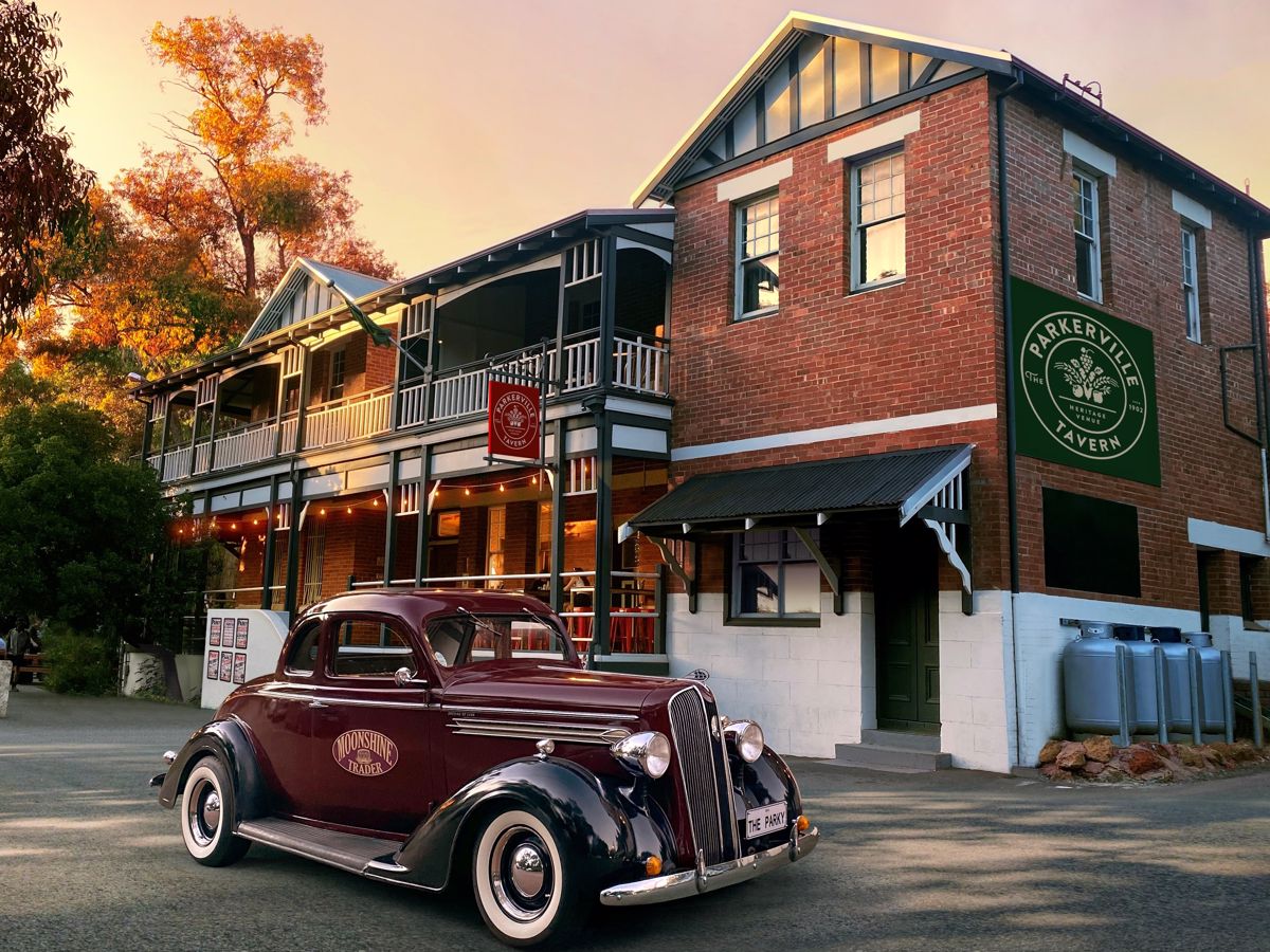
Parkerville Tavern

Situated in the Perth Hills, on the doorstep of John Forrest National Park, The Parkerville Tavern is a great Western Australian favourite. Enjoy the ambience of Perth's best beer garden.

Photo of Parkerville Tavern

Off The Beaten Track WA

Off The Beaten Track WA (OTBT) is Perth’s leading premier Hiking Experience & Adventure Tour operator, providing guests with over 70 safe, fun, inclusive experiences in a fully supported environment.

Photo of Off The Beaten Track WA

Tribe&Trail

The Best Running Gear You Need for Your Next Trail Adventure and Road Run!

Photo of Tribe&Trail

Be trail ready for Eagle View Walk, John Forrest NP

Here is everything you need to know before visiting this trail.

Time / Duration

5 to 6 hours

Length

16km loop

Trail Start

Ranger's Office, John Forrest National Park, 28km (30 minutes) east of Perth

Get directions

Trail End

Bush Walk

Class 4

Difficult trail with rough surface that may have very steep hills or extensive rock hopping. Directional signage may be limited. Bushwalking experience, navigation and emergency first aid skills, and good fitness required.

Visit Trail Tips for further information.

What To Pack

Facilities

Toilets are located just opposite the ranger station. 

  • BBQ Facilities
  • Car Park
  • Lookouts
  • Picnic Area
  • Public Toilet
  • Shaded Area
  • Bicycle Rack
  • All accessible parking
  • Public Telephone
  • Sheltered Area
  • All accessible toilet facilities
  • View Platform
  • Water Access Points

Best time of year

April to October

Fees

National Park Fees apply

Trail Access

2WD access from Park Road, off Great Eastern Highway, about 30 minutes drive east of Perth

Prohibited Items

Pets are prohibited within the National Park, bikes are not permitted on this trail. 

Trail information updated
2nd December 2024

Edge shaped like mountain horizon
topography pattern

Complete Eagle View Walk, John Forrest NP to earn badges and points!

Earn points and badges and become a "TrailsWA Expert" by completing trails and leaving reviews.

Earn 2 Points

Earn 2 points towards
your TrailsWA level

Waterfalls Popular Trail Wildflower Wanderer

Earn the Waterfalls , Popular Trail , and Wildflower Wanderer badges when you complete this trail.

Edge shaped like mountain horizon
Alt text

22 trail goers have rated Eagle View Walk, John Forrest NP as 4.05 out of 5!

We love to hear from people who've been on our Western Australian trails, so it would be most appreciated it if you wanted to leave a review.

Agata Sleeman

Reviewed 14 Oct 2024, 12:02pm

Such a stunning walk through varied nature
Charles Lingo

Reviewed 12 Oct 2024, 3:59pm

Fun challenge to start off our hiking adventures. Probably should've have chosen a trail a little easier but nonetheless we made it through. The 15+ km hike is quite long but is dynamic except for a downward section in the last 3/4 of the trail where it's quite dull but the hike itself is full of different views and was a real good challenge for a first timer.
Laura Woodward

Reviewed 24 Jul 2023, 4:20pm

Great walk. Took us 3.5 hrs with a few rest stops along the way. A few steep inclines in places
Rachel Papadopoulos

Reviewed 17 Jun 2023, 8:05pm

Beautiful walk. Stunning scenery. We absolutely loved it.
Brendon Burns

Reviewed 30 May 2023, 2:24pm

A nice hike in a picturesque location. Best to go late Winter/early Spring so you can see the wildflowers & waterfalls. Good views of Perth City.
Paul Ellis

Reviewed 28 Sep 2022, 10:58am

Really nice walk, the last 6-7 km after is a little dull with big open paths and the downhill, yet the climb was beautiful.
Chelle Fisher

Reviewed 14 Sep 2022, 11:28am

One of the best in John Forrest but a good challenge. Recommend walking late winter early spring for waterfalls and an abundance of wildflowers.
Nigel Barker

Reviewed 22 Apr 2022, 9:45pm

From my front door return is 21km so a bit of a challenge for an old bloke with a new hip! I have walked this trail a few times and love the variety moving from the granite to the coffee rock on the ridges back down into the granite. It generally takes me 6 hours door to door but the trail itself including a couple of stops 4 hours and 40 minutes. I guess if you didn't stop you could do it in a lot less but for me there's no point of bush walking if you don't have time to stand and stare
Paloma Palencia

Reviewed 16 May 2021, 6:03pm

It took me 4 hours to do it. Nice and easy to follow in an autumn ???? day
Go clockwise ????????
Emily J

Reviewed 6 Aug 2020, 6:13pm

Beautiful walk in winter and spring. Very well marked if you go clockwise. Took me just over 4 hours.
Fayley Arthur

Reviewed 15 Dec 2018, 1:20pm

Definitely go CLOCKWISE! We went anti clockwise and the trail markers aren't positioned for that direction (we gotnoff track several times - also because the controlled burn had taken out some markers).

This walk is best in spring or winter. Not actually the prettiest walk around Perth, but it's ok and it's a decent length.
Jason Bromell

Reviewed 25 Apr 2018, 10:53pm

Really great walk that is close to the city. We went clockwise. Second half is more shaded. Took 4 hours plus stops. GPS said 16km. This is what the sign says at the beginning. Wrong time of year though. Will come back at the end of winter.
Nicole HS

Reviewed 6 Jan 2018, 3:24pm

When: January
Temp: 27 C
Time: 9AM

The walk was enjoyable although we got confused at the start and walked for an hour in the wrong direction! There are lots of paths that lead out of the picnic area and we took the wrong left turn. I think it would have been more scenic if we went during spring. The scenery was rather dry. I think walking boots are more suitable. My hubby just wore sneakers and the rubber bottoms were very worn after. BRING LOTS OF WATER - we took 4.6L between the two of us and we could have done with more. We detoured so it took us 5 hours all up.
Irina Guidara

Reviewed 17 Sep 2017, 10:25pm

My friend and I completed this trail today. It was quite nice. Great weather with a maximum of 20 degrees. I would definitely do it again. I liked the length of it which is 16 kms. We completed this trail in four hours and we went clockwise. I would like to complete more tails like this one.
Anna Emenheiser

Reviewed 28 Aug 2017, 10:38pm

Definitely go clockwise unless you are looking for technical parts of the trail after you've already tired out your legs. The trail was well marked, and at intersections that weren't marked, I found it easy to decide which was the real path. Took me about 3.5 hours to make it around the trail, with stops to take pictures. However, if you're looking for a more leisurely pace, plan for 4-5 hours.
Emma Adams

Reviewed 7 Jul 2016, 4:48pm

A great trail - other than potentially the length for some, it isn't too challenging. Went on a coolish summer day and even then it wasn't too tiring, just make sure you take plenty of water! It took us around 4 hours to complete it, taking it fairly easy. Going clockwise puts the hillier section at the start, but does mean the last few kms are a bit of an endless flat stretch - but as always, the bush is lovely to walk through and we did see some kangaroos too. Definitely going to be doing it again.
Alan Boyd

Reviewed 14 Jun 2016, 11:54am

Awesome trail that is close to Perth (depending on where in Perth you live or are staying). Going clockwise is a bit easier then counter clockwise! Will check this one out again in the winter months to see whether some of the streams are flowing.
Profile photo for Marco Zecca
Marco Zecca

Reviewed 29 Jan 2016, 7:35pm

Beautiful walk, done in a sunny winter day. Nice wildflowers and views
Brittany Smith

Reviewed 22 Jan 2016, 7:07am

Beautiful walk
Paul Prescott

Reviewed 12 Jan 2016, 3:47pm

A trail that I have walked many times. I would advise a first timer to walk it clockwise for sure was there are some stretches that are a lot easier to go down than up ! Well signed and varied along the way with some good views of the city. Better in the winter / spring when the brooks are flowing.
Shannon V

Reviewed 26 Sep 2015, 1:03pm

Beautiful track but signage isn't great if you take the counter clockwise route.
Clara Konstek

Reviewed 19 May 2014, 5:12pm

Enjoyable walk, well sign posted, beautiful views and not overly challenging. My sister in law and I tackled it from an exercise perspective and made it around in 2 hours and 50 minutes. I'd recommend going clockwise as the first half of the trail is more hilly and it then gets easier as you go along.

Like this trail? Explore others nearby

More around Perth & Surrounds

Supported by great organisations

Trails are free and bring so many benefits to our community by providing opportunities to have fun, get fit, socialise, explore and challenge yourself. But they also have to be managed and maintained which only is made possible through terrific sponsors, donations and/or volunteering.

topography pattern