Porongurup National Park
Bush Walk network in South West
About Porongurup National Park
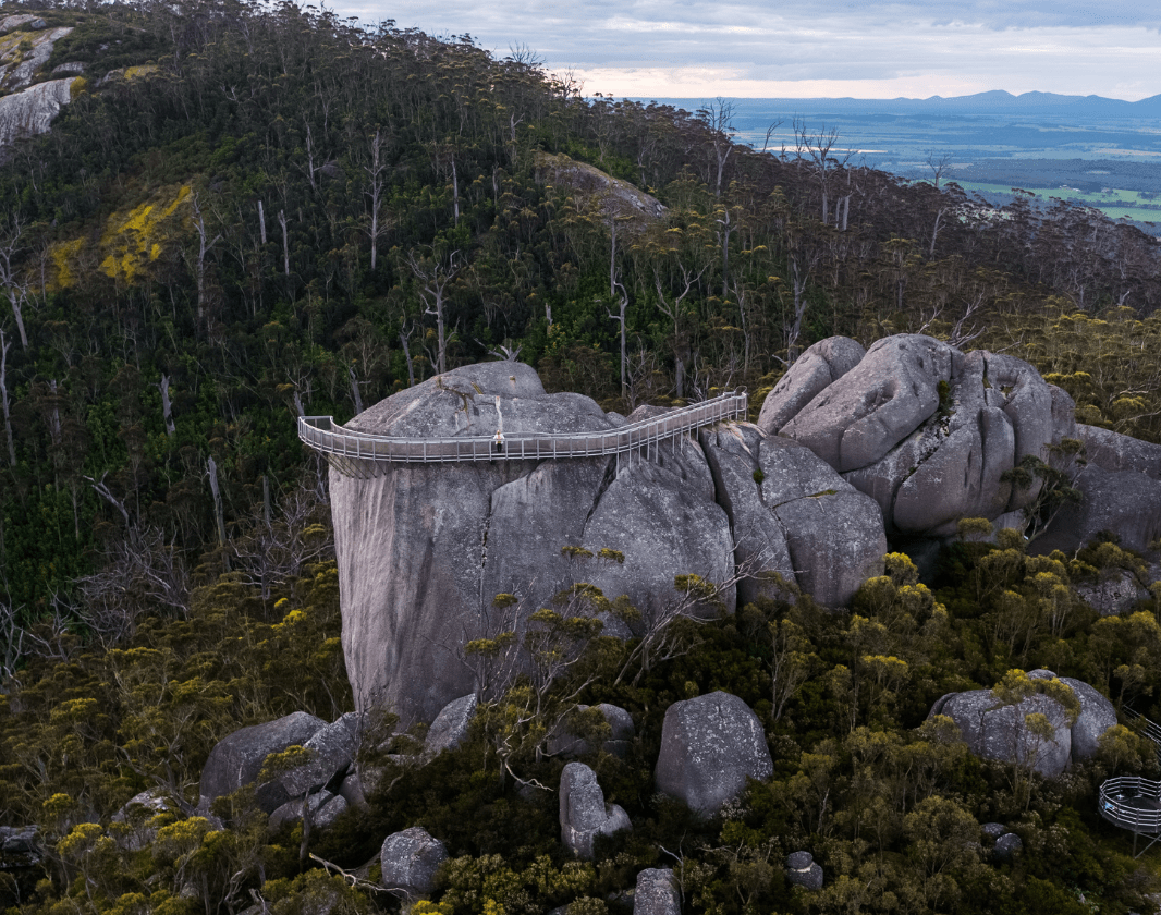
Porongurup National Park, within the traditional lands of the Minang group of the Nyungar people, is a unique living landscape of exceptional biological and ecological significance. As part of an internationally recognised 'biodiversity hotspot' in the south-west region of Western Australia, Porongurup National Park contains an exceptionally high concentration of plants and animals in a relatively small area. Examples of plant groups which contribute to this outstanding richness include: flame-peas (Chorizema), rice flowers (Pimelea), native myrtles (Myrtaceae), kangaroo paws (Haemodorales) and banksias (Proteales).
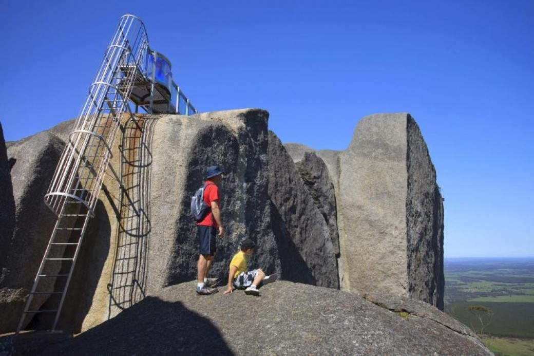
Paths lead to several peaks, other paths cross the range, and a nature trail leads through the forest near the Tree-in-the-Rock Picnic Area. Set among the karri trees, this site almost has the feel of a cathedral, with the towering karris providing the domed roof. The Castle Rock picnic site is
Scenic driving
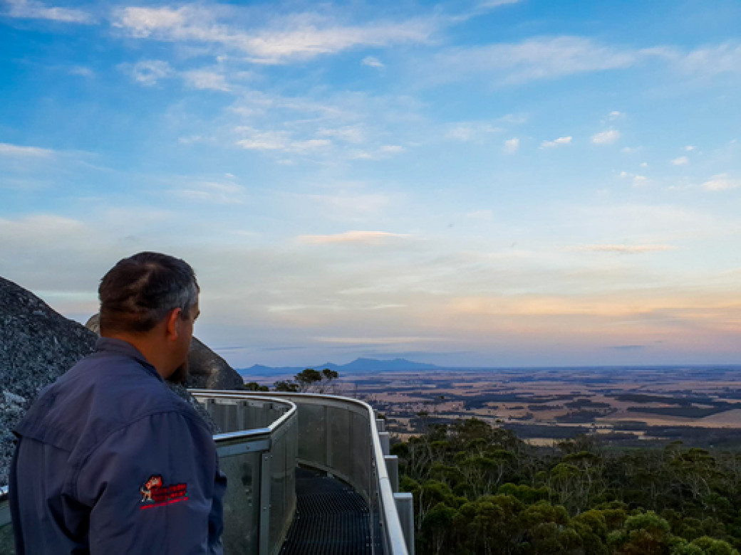
Enjoy impressive views from a 23 km drive around the entire range (mostly unsealed with steep sections) via Bolganup Road, Angwin Park Road, Woodlands Road, Millinup Road, Chester Pass Road and Mount Barker-Porongurup Road.
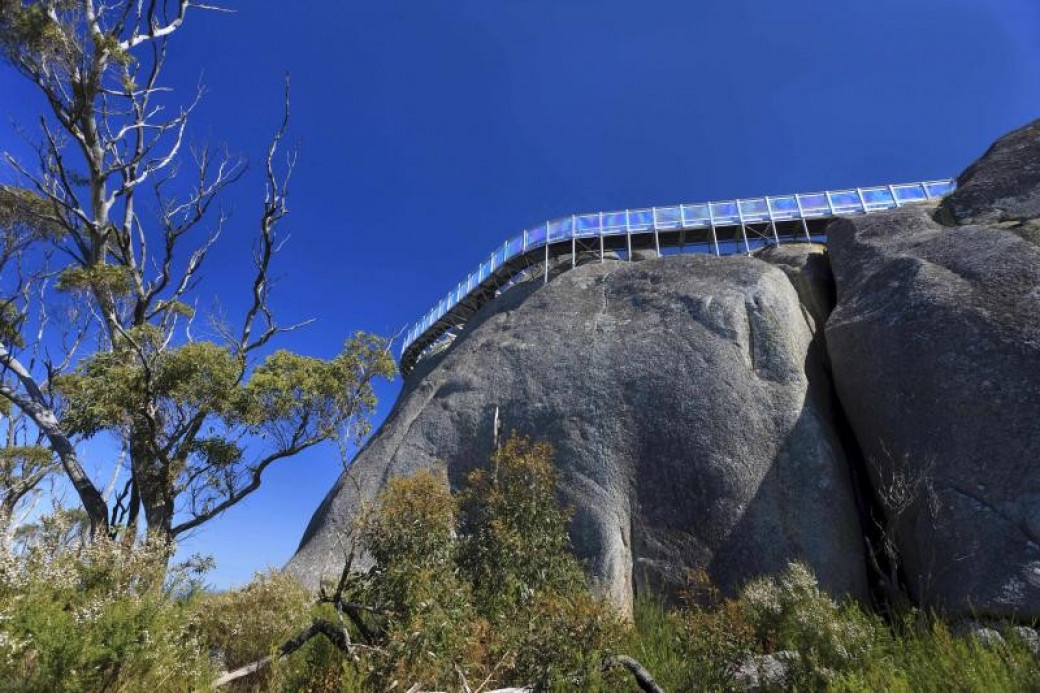
A 5km drive (unsealed with steep sections) along Angwin Park Road between Bolganup Road and Woodlands Road offers outstanding views of granite outcrops and Stirling Range to the north.
Getting There
The Park is just a 15 minute drive from Mt Barker which is 366km (4 hours) south of Perth along the Albany Highway. The Park is just 50km (40 mins) north east of Albany providing an alternate route on the way to or from Mt Barker along Chester Pass Road.
Facilities
Drinking water: No
Toilets
BBQ's
Lookouts
Playing safe
Please take care - there are slippery, rough and uneven surfaces throughout the park.
Carry two to three litres of drinking water per person for half to full day walks.
Be prepared for sudden weather changes. Wear boots or sturdy footwear, weatherproof clothing and sun protection. Take plenty of food on hikes and notify some of your expected time of return,
The park is baited four times a year to control foxes. The poisonous 1080 baits (small chunks of dried meat or pink sausages) should not be handled.
Eucalypt trees can shed branches at any time. Be extra aware on windy days.
Can’t find something you’re looking for?
Our Explore Map tool provides a lot of detail and filters to help explorers find the best and most suitable trails. Head on over to our Explore Map for greater search capacity.

Supported by great organisations
Trails are free and bring so many benefits to our community by providing opportunities to have fun, get fit, socialise, explore and challenge yourself. But they also have to be managed and maintained which only is made possible through terrific sponsors, donations and/or volunteering.
-(1680-×-200-px).jpeg)

View 35 Photos of Porongurup National Park


