Kalamunda Trails
Mountain Bike network in Perth & Surrounds
About Kalamunda Trails
With over 40km of fully signed single-track, the Kalamunda Trails area is the most popular MTB destination in WA. It is only a 40 minutes drive from the centre of Perth, and is situated in both picturesque National Park and State Forest. The Black Stump Pump Track is an outstanding facility suitable for riders of all ages and abilities and a great introduction to mountain biking.
Based on the IMBA grading there are approximately 6 kilometres of green trails and a skills loop with information boards discussing technique. The green trails are mainly on the western side of the network.
Intermediate IMBA blue trails account for the majority of the trails at 34 kilometres in the network. There are three advanced IMBA black trails and two of them feed off the top of Mt Gunjin making shuttle runs possible in a vehicle and dropping approximately 100m in height. With the loose pea gravel tyre selection is important with larger grippy tyres favoured. The middle of summer is also to be avoided due to extreme heat and loose dry soil. The best time to ride is often a day after some light rain to help hold the soil together providing a faster surface to ride on.
Bikes hire available nearby and a shuttle service is run by volunteers on some Sundays.
For more information about services, the trails and a map visit the Kalamunda Mountain Bike Collective website.
Or download the map from the Shake, Rattle and Roll skills loop.
Parking Areas and facilities
A safe place to leave your car and the largest car park in the area.
Farrell Grove car park and picnic area
Large DBCA managed car park off Mundaring Weir Rd. There are lots of picnic tables and some toilets here. Great place to park if you want to ride the trails around Scorpion or Gunjin, especially if the Dell is full.
Black Stump car park
A good place to park at the western end of the trails network. There is a trailhead map and noticeboard.
Cross Mundaring Weir Rd to the north side and pick up the trail from here. After 50m you will have a choice of the longer, harder Blue rated "Slippery When Dry" trail or the easier Green rated trail.
The Dell
One of the busiest and smaller car parks. It has great trail access, toilets and several picnic areas in beautiful bush surroundings.
Visitor Information Centres
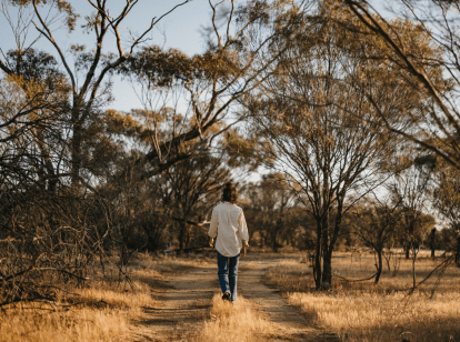
Can’t find something you’re looking for?
Our Explore Map tool provides a lot of detail and filters to help explorers find the best and most suitable trails. Head on over to our Explore Map for greater search capacity.
Supported by great organisations
Trails are free and bring so many benefits to our community by providing opportunities to have fun, get fit, socialise, explore and challenge yourself. But they also have to be managed and maintained which only is made possible through terrific sponsors, donations and/or volunteering.


Kalamunda Mountain Bike Trails
Camakazi
@Bryce_Crage_Photography

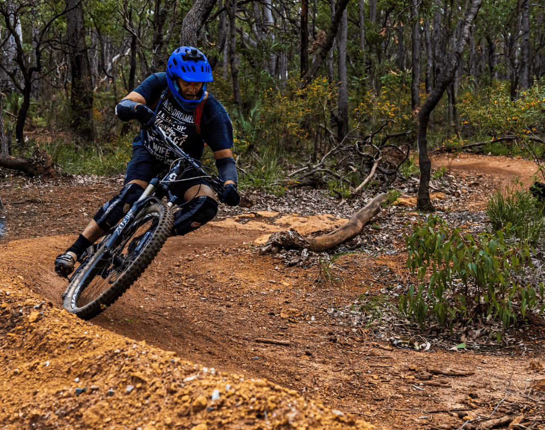
On the trail
Image from: @bryce_crage_photography

Kalamunda Mountain Bike Network

Kalamunda Mountain Bike Network
Kalamunda Mountain Bike Network

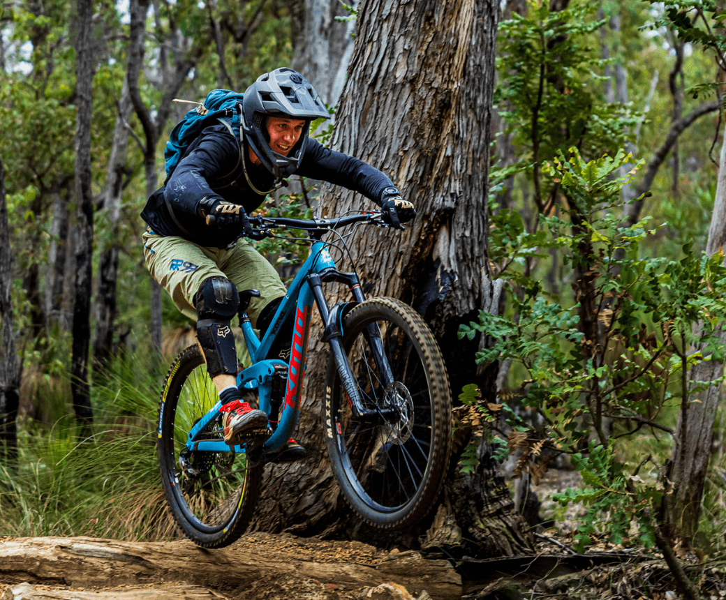
On the trail
Image from: @bryce_crage_photography
Kalamunda Mountain Bike Network

Kalamunda Mountain Bike Network
Kalamunda Mountain Bike Network
Kalamunda Mountain Bike Network

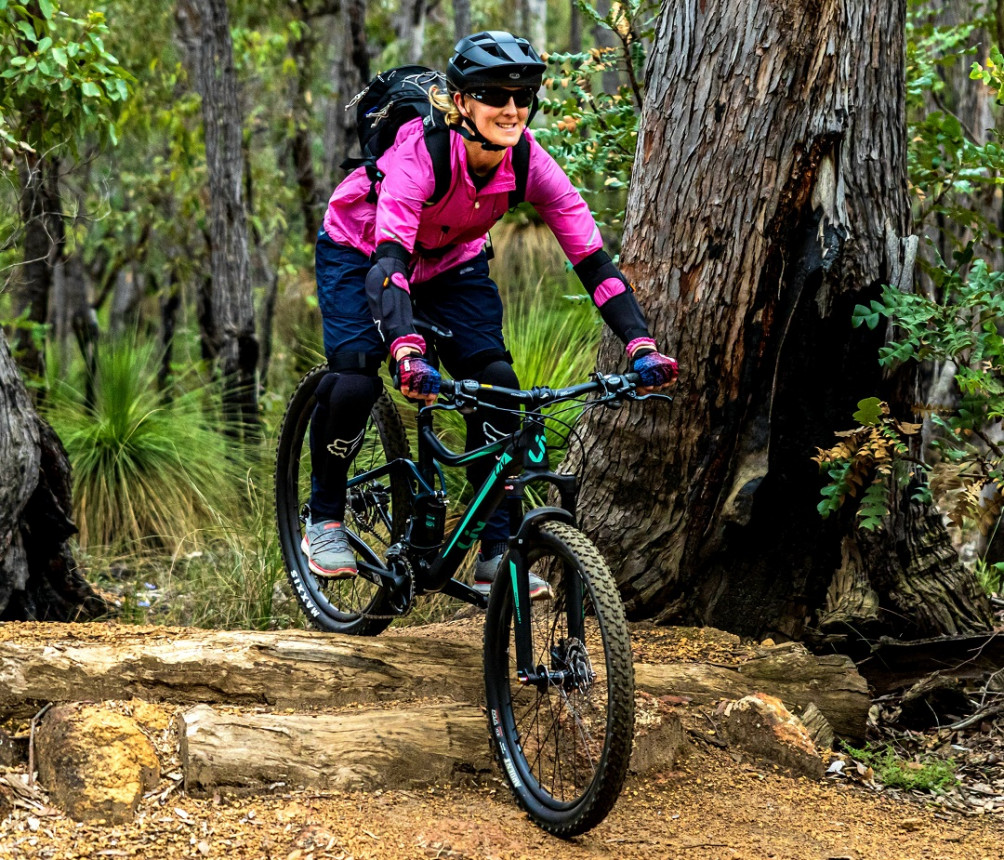
On the trail
Image from: @bryce_crage_photography
Kalamunda Mountain Bike Network
Kalamunda Mountain Bike Network
Kalamunda Mountain Bike Network
Kalamunda Mountain Bike Network
Kalamunda Mountain Bike Network
Kalamunda Mountain Bike Network
Kalamunda Mountain Bike Network

Lancaster
Image from: @bryce_crage_photography
Kalamunda Mountain Bike Network
Kalamunda Mountain Bike Network
Kalamunda Mountain Bike Network
Kalamunda Mountain Bike Network
Kalamunda Mountain Bike Network

Goldilocks
Image from: @bryce_crage_photography
Kalamunda Mountain Bike Network
Kalamunda Mountain Bike Network
Kalamunda Mountain Bike Network
Kalamunda Mountain Bike Network
Kalamunda Mountain Bike Network
Kalamunda Mountain Bike Network
Kalamunda Mountain Bike Network
Kalamunda Mountain Bike Network
Kalamunda Mountain Bike Network

Scorpion, Kalamunda Trails
Rich Blair during the 2013 Gravity Enduro race
Kalamunda Mountain Bike Network
Kalamunda Mountain Bike Network
Kalamunda Mountain Bike Network
Kalamunda Mountain Bike Network
Kalamunda Mountain Bike Network
Kalamunda Mountain Bike Network
Kalamunda Mountain Bike Network
Kalamunda Mountain Bike Network
Kalamunda Mountain Bike Network
Kalamunda Mountain Bike Network
Kalamunda Mountain Bike Network
Kalamunda Mountain Bike Network
Kalamunda Mountain Bike Network
Kalamunda Mountain Bike Network
View 50 Photos of Kalamunda Trails
