Whadjuk Trail Network
Bush Walk network in Perth & Surrounds
About Whadjuk Trail Network
The Whadjuk network of walking trails lies on Noongar land, connecting remnant bushland areas in the western suburbs of Perth. With links to iconic, heritage and Noongar trails in the area, they offer users a unique experience and appreciation for the land, catering for a large variety of interests. Trail users will appreciate expansive views from the Indian Ocean to the Perth skyline, while experiencing the diversity of remnant bushland and lakes so close to the city.
Trails are well marked with directional signs that include an icon and are suitable for all walkers, with a moderate level of fitness required in places. Users should look for triangular markers in footpaths and bollards along the route. Information relating to fauna, flora, and indigenous cultural heritage, is contained within the trails.
The majority of trails are dog and cycle friendly and can be enjoyed in sections to suit walkers' abilities and available time.
http://whadjukwalkingtrails.org.au/
Can’t find something you’re looking for?
Our Explore Map tool provides a lot of detail and filters to help explorers find the best and most suitable trails. Head on over to our Explore Map for greater search capacity.
Supported by great organisations
Trails are free and bring so many benefits to our community by providing opportunities to have fun, get fit, socialise, explore and challenge yourself. But they also have to be managed and maintained which only is made possible through terrific sponsors, donations and/or volunteering.


Bold Park
Bold Park
Bush to Beach Trail
Karbomanup
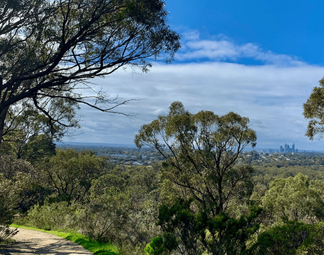
Views of Perth City from Bold Park
Views of Perth City from Bold Park_-_photo_by_Kerri_Boase-Jelinek-contain-1040x860.jpg)
Bush to Beach Trail
Shenton Bushland - Isotropis cuneifolia (Granny bonnet)
Bishop Road Reserve

Yange Kep Trail marker

Black Swans on Lake Monger
The unique Black Swans at Lake Monger
Carnaby's Cockatoo
Foraging Carnaby Cockatoo
White faced Heron

Peppermint Grove
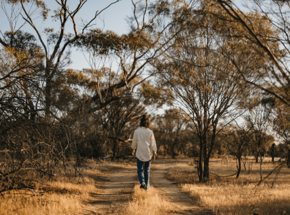
Bush walk
Bush to Beach trail
Zamia Trail in Bold Park
Views of City Beach Groyneaz
Views of City Beach Groyneaz
Views over the Swan River

Mosman Park Beach
Gazing over the Wardun (Indian Ocean) at sunset
Cottesloe sculptures
Interesting sculptures are seen in Cottesloe
Mount Claremont
Wonderful bushland area
Lake Claremont
_(8)s-contain-1040x860.jpg)
Matilda Bay
Sunrise over Matilda Bay-contain-1040x860.jpg)
Lake Monger views
Views of Perth City skyline from Lake Monger
Bush to Beach - Lake Jualbup
Lake JualbupView 20 Photos of Whadjuk Trail Network
