Kreisel Pinto rated Canning River Wetlands, Cannington a 5 out of 5

What a serene trail this is. A really easy 8k loop, beginner friendly. Spotted heaps of birds, the highlight was the family of black swans

Trails WA supports the seven principles recommended by Leave No Trace Australia for minimising your impacts when using the trails.
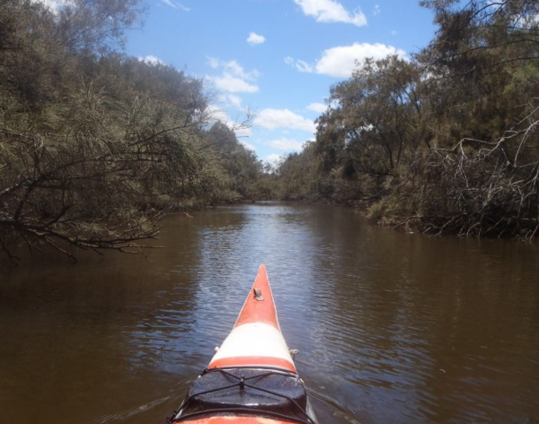
Learn moreStarting at the Kent Street Weir the trail heads downstream where you can explore as many side streams as you can float in. An information board at the launch ramp has the canoe trail map and inforrmation permenantly on display.
Castledare Minature Railway is on the river about 500m downstream from Kent Street. They operate a station from Kent St with the train running on the third Sunday of every month.
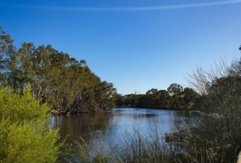
As marked, the distance one way to Riverton Bridge is about four kilometres.There are cafe's at the start and finish points.
Heading upstream from Riverton Bridge you will discover many dead-end channels and plenty of bird and fish life. A great spot to kayak or canoe.
(08) 9483 1111
photos and links for kayaking in WA
cafe at Riverton Bridge
cafe at Kent Street Weir
canoe tours and hire
tourist railway and gardens
Comprehensive information on the Perth region including destinations, things to see and do, accommodation and tours.
Here is everything you need to know before visiting this trail.
Up to half a day depending on how much you explore!
8km return
Group F - Paddling Trails (Paddling trails) required.
Group F - Paddling Trails (Paddling trails)
Anytime
Road 2WD


Earn points and badges and become a "TrailsWA Expert" by completing trails and leaving reviews.
Earn 1 point towards
your TrailsWA level


We love to hear from people who've been on our Western Australian trails, so it would be most appreciated it if you wanted to leave a review.


Trails are free and bring so many benefits to our community by providing opportunities to have fun, get fit, socialise, explore and challenge yourself. But they also have to be managed and maintained which only is made possible through terrific sponsors, donations and/or volunteering.


View 4 Photos of Canning River Wetlands, Cannington
You are reporting a problem for Canning River Wetlands, Cannington. Please be as detailed as possible to help us appropriately identify and address the issue.

Join trails wa to add this trail to your favourite. By joining you will also be able to rate and review trails and share your photos with other trail goers!
Sign in to your account to add this trail to your list of favourites, and much more.