Chelle Fisher rated Walitj Meil Walk Trail, Porongurup NP a 4 out of 5
The perfect trail for those unable to complete Castle Rock. Informative and simply beautiful walking through the Karri Forest up to the Stirling Range Lookout


Trails WA supports the seven principles recommended by Leave No Trace Australia for minimising your impacts when using the trails.
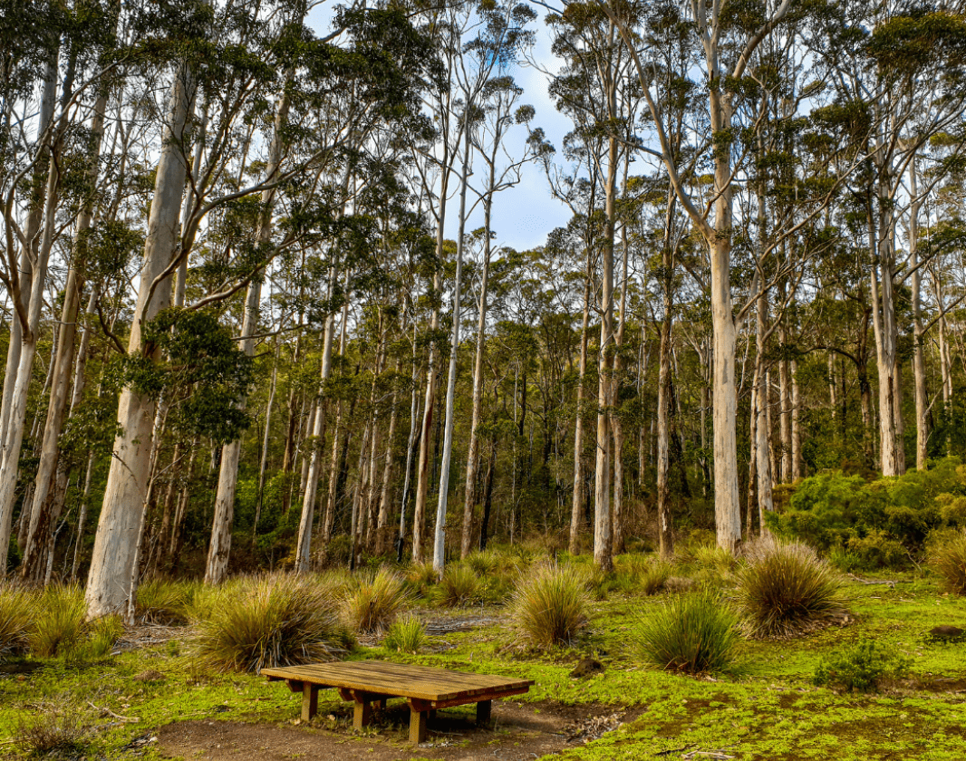
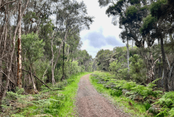
Learn moreStart from Castle Rock picnic area and follow the wedge-tailed eagle trail markers along the edge of the karri/marri/yate forest to a scenic view across to the Stirling Range National Park. The wedge-tailed eagle is a significant totem for the Noongar of the south-west.
From the viewing point enter the karri forest and return to the picnic area following the trail through the forest. Here you can learn about the local plants and animals, colonial history as well as Noongar culture.
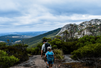
While you are here take the opportunity to visit the Granite Skywalk on Castle Rock.
Comprehensive information on the South West region including destinations, things to see and do, accommodation and tours.
Here is everything you need to know before visiting this trail.
Up to an hour
1km loop
Group B - Hiking & Long Distance Trails (Bushwalks and/or longer trails) required.
Group B - Hiking & Long Distance Trails (Bushwalks and/or longer trails)

Class 3
Moderate trail that may have short steep hills, rough surface, many steps or some rock hopping. Directional signage. Some bushwalking experience and moderate fitness required.
Visit Trail Tips for further information.
All year round
National Park fees
Road 2WD


Earn points and badges and become a "TrailsWA Expert" by completing trails and leaving reviews.
Earn 2 points towards
your TrailsWA level


We love to hear from people who've been on our Western Australian trails, so it would be most appreciated it if you wanted to leave a review.


Trails are free and bring so many benefits to our community by providing opportunities to have fun, get fit, socialise, explore and challenge yourself. But they also have to be managed and maintained which only is made possible through terrific sponsors, donations and/or volunteering.


View 7 Photos of Walitj Meil Walk Trail, Porongurup NP
You are reporting a problem for Walitj Meil Walk Trail, Porongurup NP. Please be as detailed as possible to help us appropriately identify and address the issue.

Join trails wa to add this trail to your favourite. By joining you will also be able to rate and review trails and share your photos with other trail goers!
Sign in to your account to add this trail to your list of favourites, and much more.