
Off The Beaten Track WA
Off The Beaten Track WA (OTBT) is Perth’s leading premier Hiking Experience & Adventure Tour operator, providing guests with over 70 safe, fun, inclusive experiences in a fully supported environment.



Trails WA supports the seven principles recommended by Leave No Trace Australia for minimising your impacts when using the trails.
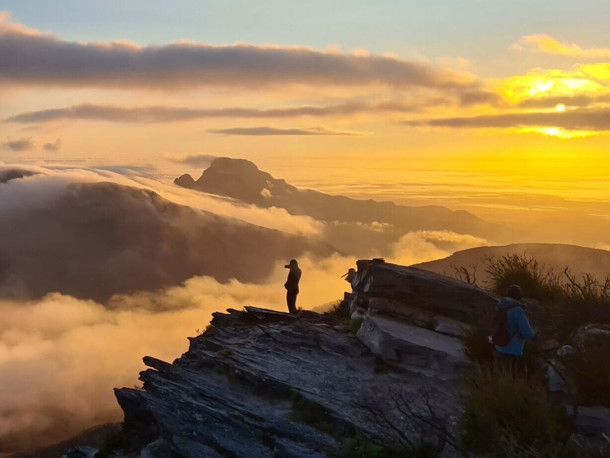
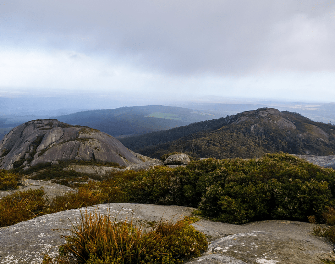
Learn moreWith an elevation of 670m Devils Slide is the Porongurup Range's highest peak. It provides magnificent views over the granite domes of the Porongurup Ranges. Known for its high flora species diversity, the ranges are home to over 700 plant species, including 10 endemic species. You may even be lucky to spot one of the many mammal or bird species, honey possums, brushtail wallabies and even rare bird species of Baudin's cockatoo and noisy scrub-birds.
Spend the morning walking to Devils Slide then return to Karri boya-k (Tree in the Rock) picnic area to enjoy the picnic and barbecue facilities. For the more adventurous walkers, Marmabup Rock can be reached a further kilometre on from Devil's Slide on the same path continuing West.
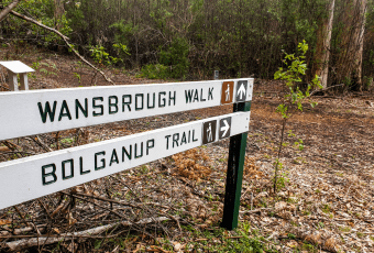
The walk can be completed in many different ways. The direct route along the Wansbrough Walk, after which 1600 meters you turn right to the Devil's Slide trail for a further kilometre. On your return, you can follow the Wansbrough Walk trail back to the picnic area or you can return via the Hayward and Nancy Peak Walk. It is a 4-kilometre steady climb through undulating peaks back to the picnic area. A trail which will take you to the lookouts of both Nancy Peak, Morgan's Peak and Hayward Peak for more spectacular sweeping views.
Comprehensive information on the South West region including destinations, things to see and do, accommodation and tours.
Off The Beaten Track WA (OTBT) is Perth’s leading premier Hiking Experience & Adventure Tour operator, providing guests with over 70 safe, fun, inclusive experiences in a fully supported environment.
Here is everything you need to know before visiting this trail.
Allow 2 - 3 hours
5km return
Group B - Hiking & Long Distance Trails (Bushwalks and/or longer trails) required.
Group B - Hiking & Long Distance Trails (Bushwalks and/or longer trails)
Karri boya-k (Tree in the Rock) day picnic area. 366km (4 hours) south of Perth to National Park

Class 4
Difficult trail with rough surface that may have very steep hills or extensive rock hopping. Directional signage may be limited. Bushwalking experience, navigation and emergency first aid skills, and good fitness required.
Visit Trail Tips for further information.
All year round, late August to November for wildflower season
National Park Fees
Bus or car to Mt Barker. Car 2WD to Porongurup National Park


Earn points and badges and become a "TrailsWA Expert" by completing trails and leaving reviews.
Earn 3 points towards
your TrailsWA level
Earn the Tall Peak badge when you complete this trail.


We love to hear from people who've been on our Western Australian trails, so it would be most appreciated it if you wanted to leave a review.




Trails are free and bring so many benefits to our community by providing opportunities to have fun, get fit, socialise, explore and challenge yourself. But they also have to be managed and maintained which only is made possible through terrific sponsors, donations and/or volunteering.
-(1680-×-200-px).jpeg)


View 6 Photos of Devils Slide, Porongurup NP
You are reporting a problem for Devils Slide, Porongurup NP. Please be as detailed as possible to help us appropriately identify and address the issue.
Join trails wa to add this trail to your favourite. By joining you will also be able to rate and review trails and share your photos with other trail goers!
Sign in to your account to add this trail to your list of favourites, and much more.
 Full day
 23km
23km
