

Kingsford Smith Mail Run, Carnarvon to Meekatharra
-
 Multiple day
-
834km


Trails WA supports the seven principles recommended by Leave No Trace Australia for minimising your impacts when using the trails.
Learn moreThe No.1 Wooleen Walk trail takes walkers on a loop from the homestead. It meanders through typical mulga scrub land and then climbs a gentle fault line for views back towards the homestead and then over the seasonal Wooleen Lake. There are different ecosystems along the way and spring wildflowers are spectacular.
The trail is marked with white pegs every 20m.
A walk trail brochure can be purchased from the Wooleen homestead for walking notes on the flora, fauna and history of the area. Otherwise laminated maps can be borrowed from the starting point.
Comprehensive information on the Golden Outback region including destinations, things to see and do, accommodation and tours.
Wooleen Station operates a nature-based station stay in the Shire of Murchison. Various accommodation and camping options are available to guests.
1 hr
2.5km loop from the Wooleen Station Homestead
This trail starts at the old steam engine outside the Wooleen Station Homestead
This trail ends at the old steam engine outside the Wooleen Station Homestead

Class 1
All abilities access, flat, even, hardened surface with no steps or steep sections. Suitable for unassisted wheelchair users and prams. Clear directional signage. No bushwalking experience required.
Visit Trail Tips for further information.
An easy walk through Mulga scrubland. Some uneven,rocky ground when crossing the Wooleen Homestead Creek.
Summer temperatures are extreme and the track is closed from November to March each year. Always check-in at the homestead for current track conditions.
Please remember to take a hat, water bottle and suncream. Do not try the edible plants.
No drinking water available along trail.
No mobile reception available for 200kms
WIFI available at start and end point.
April - September
Free of charge. Additional interpretation and notes are obtained via a $10 guide from homestead.
Road - To Wooleen Station Stay - 4WD recommended due to gravel roads.
Motor bikes, firearms


Earn points and badges and become a "TrailsWA Expert" by completing trails and leaving reviews.
Earn 2 points towards
your TrailsWA level
Earn the Wildflower Wanderer badge when you complete this trail.


We love to hear from people who've been on our Western Australian trails, so it would be most appreciated it if you wanted to leave a review.


Trails are free and bring so many benefits to our community by providing opportunities to have fun, get fit, socialise, explore and challenge yourself. But they also have to be managed and maintained which only is made possible through terrific sponsors, donations and/or volunteering.


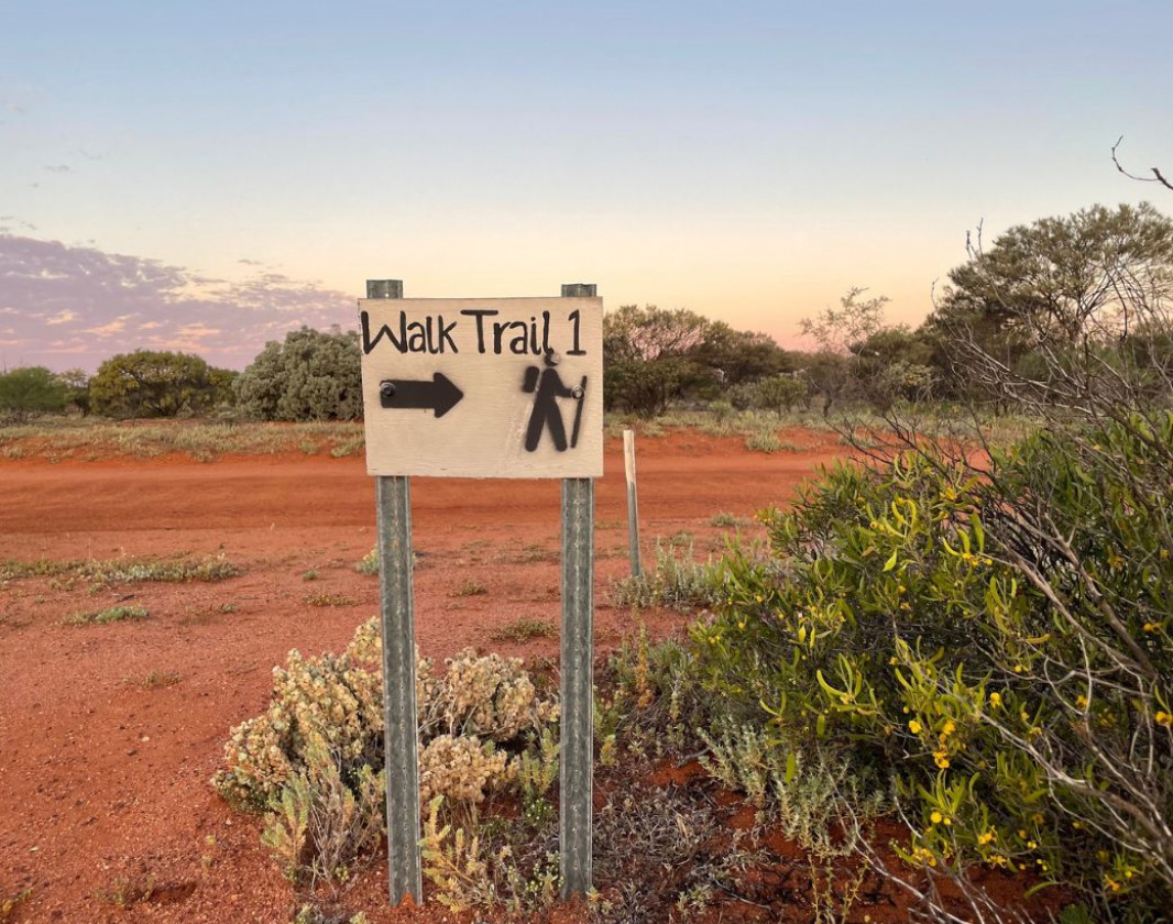
Walk-trail 1 trail signage

Pathways along Walk-trail 1 at Wooleen Station

Wildflowers along Walk-trail 1 at Wooleen Station

The retirement village on Walk-trail 1 at Wooleen Station

House Creek on Wooleen Walk No. 1

Site stop on Walk Trail No. 1

Trail signage for Wooleen Walk Trail No. 1
View 7 Photos of Wooleen Walk Trail No.1
You are reporting a problem for Wooleen Walk Trail No.1. Please be as detailed as possible to help us appropriately identify and address the issue.

Join trails wa to add this trail to your favourite. By joining you will also be able to rate and review trails and share your photos with other trail goers!
Sign in to your account to add this trail to your list of favourites, and much more.