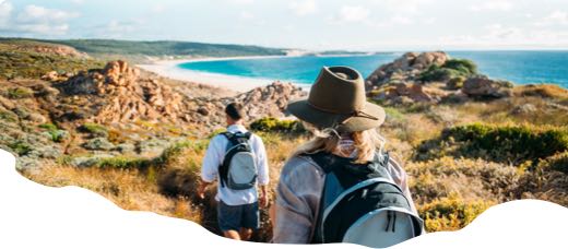
Thomas River crossing to Mt Arid car park, Cape Arid NP Thomas River crossing to Mt Arid car park, Cape Arid NP


Trails WA supports the seven principles recommended by Leave No Trace Australia for minimising your impacts when using the trails.
Learn moreAbout Thomas River crossing to Mt Arid car park, Cape Arid NP
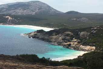
This challenging remote 4wd beach drive starts at the crossing of the Thomas River just past the Thomas River Day Use Area. Once crossing the river, drive east along this amazing coastline. Most of the driving is on the beach which can be challenging due to the changing conditions of the beach sands being soft or firm. There are creek washout crossings along the way which can be hazardous. There are sections where you will leave the beach and head inland on single lane tracks and then back to the beach. Some of these single tracks are sandy and others go over rocky outcrops. After approximately 25km you will access the track off the beach which leads to the Mt Arid car park. The track from the beach to the carpark is well sign posted.
Before starting this beach drive, you will need to research the times for the high and low tides as well as the swell conditions. This is extremely important that you have a good understanding of the tide conditions as a high tide can restrict access and make this beach drive hazardous. This remote track is for experienced 4wd drivers only, who have the appropriate equipment in their vehicles to deal issues that can occur when driving in remote areas and in sandy and rocky track conditions.
Esperance Visitor Centre
(08) 9038 1555
- [email protected]
- Visit website
- Museum Village, Esperance WA 6450
National Parks
Other Links
- Explore Parks - Cape Arid National Park
-
Australia’s Golden Outback
Comprehensive information on the Golden Outback region including destinations, things to see and do, accommodation and tours.
Be trail ready for Thomas River crossing to Mt Arid car park, Cape Arid NP
Here is everything you need to know before visiting this trail.
Time / Duration
1 Hour
Length
50km return.
Trail End
4WD
Very Difficult
Low Range 4WD vehicles required with standard clearance. 4WD experience or training required.
Visit Trail Tips for further information.
Best time of year
September through to May
Fees
National Park fees apply at Cape Arid National Park
Prohibited Items
No dogs allowed in national parks


Complete Thomas River crossing to Mt Arid car park, Cape Arid NP to earn badges and points!
Earn points and badges and become a "TrailsWA Expert" by completing trails and leaving reviews.
Earn 3 points towards
your TrailsWA level


Be the first to review Thomas River crossing to Mt Arid car park, Cape Arid NP
We love to hear from people who've been on our Western Australian trails, so it would be most appreciated it if you wanted to leave a review.
Add your review of Thomas River crossing to Mt Arid car park, Cape Arid NP
Like this trail? Explore others nearby
More around Golden Outback
 Multiple day
 20km
20km


The road into Point Ann is corrugated and may be closed after rain.

Point Ann Heritage Trail, Fitzgerald NP
-
 Less than 1 hour
-
1.5km


Stokes Heritage Trail, Stokes NP, Esperance
-
1-3 hours
-
6.4km

Skinny Dip Bay Walk, Woody Island Nature Reserve
-
Less than 1 hour
-
1.5km

Supported by great organisations
Trails are free and bring so many benefits to our community by providing opportunities to have fun, get fit, socialise, explore and challenge yourself. But they also have to be managed and maintained which only is made possible through terrific sponsors, donations and/or volunteering.
-(1680-×-200-px).jpeg)


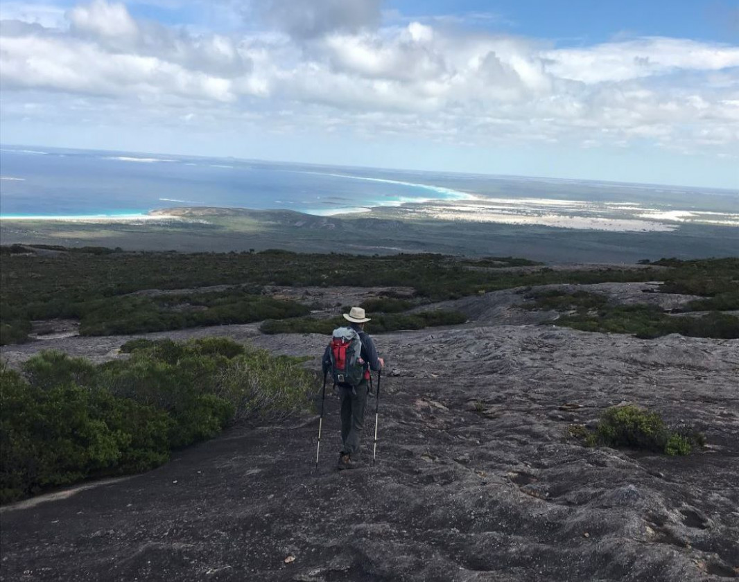
View of 25km beach access track from Mt Arid

Approaching Thomas River crossing

Driving along the beach

Track leaving the beach.

Signage on the beach leading to the carpark.

Information sign at Mt Arid carpark showing access track off the beach.

Carpark at Mt Arid
View 7 Photos of Thomas River crossing to Mt Arid car park, Cape Arid NP
Upload your photo of Thomas River crossing to Mt Arid car park, Cape Arid NP
Report a Problem
You are reporting a problem for Thomas River crossing to Mt Arid car park, Cape Arid NP. Please be as detailed as possible to help us appropriately identify and address the issue.