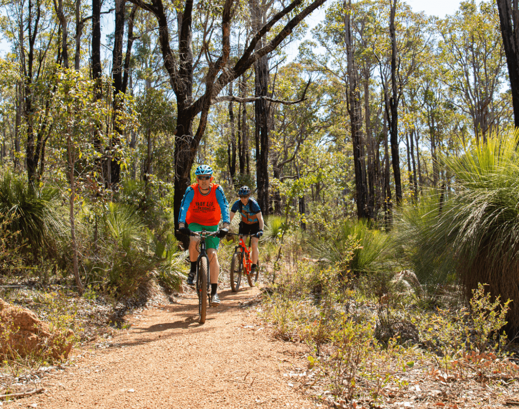
Recommended for moderate intermediate riders with some technical mountain biking experience. Typically narrow trails with loose, soft, rocky or slippery sections and hills with short steep sections. Riders will encounter obstacles and technical trail features.
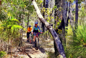
Around about Arklow is a 4 kilometre green trail that links Arklow Road to the Munda Biddi and Pet Cemetery Trails, in the Arklow Network near Collie.
Around About Arklow is one of several green trails in the Arklow Network and can be ridden in conjunction with Arklow Adaptive, Railway Rise, Highland Highway and Pet Cemetery to form a loop of just over 20 km.
The network can be accessed from Ray's Trail car park on Harris River Road, just past the winery. See the trail map for network options.
Visit Collie
Experience adventure exploring the network of diverse trails, pristine lakes, waterways and river pools. Reconnect with nature in the magnificent national park or relax and soak up Collie’s rich cultural and historical heritage.
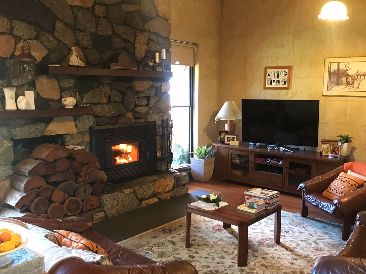
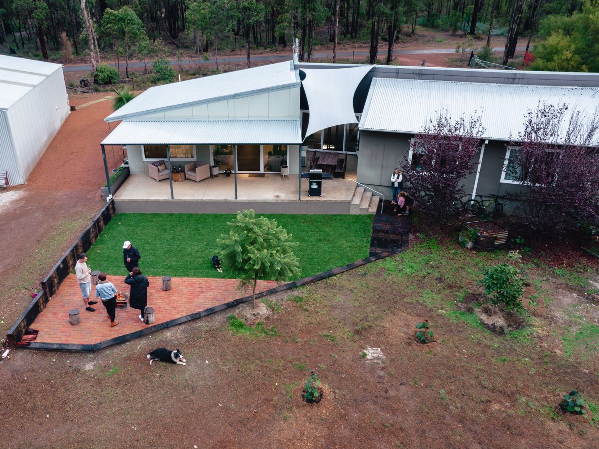
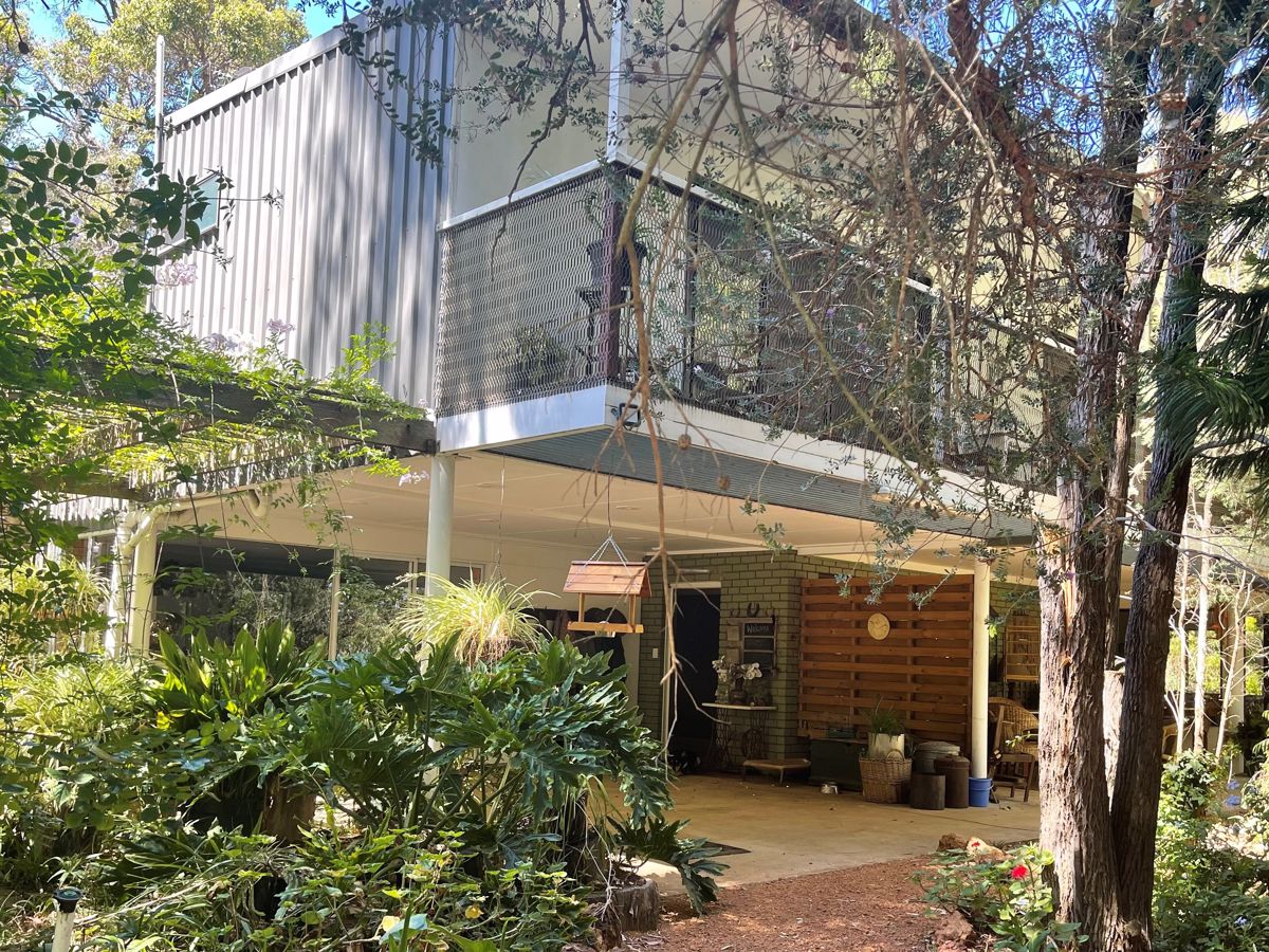
Mandia is a quiet rural property that has a range of beautiful rooms available three kms north of Collie.
The Tuscan inspired BBQ area is a perfect outdoor setting amongst the garden.
Toscas Boutique is a fashion store for the style conscious woman looking to create a wardrobe of chic, affordable pieces and maintain a classic, feminine style.
The Visitor Centre can provide extensive information on the region with maps, brochures, and a photographic display. We also have videos on local history, mining and power generation.
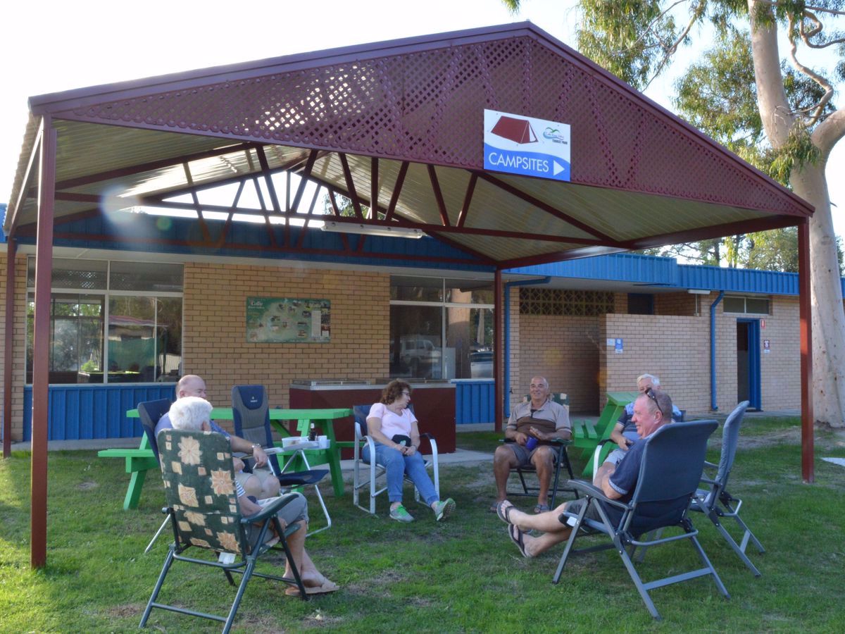
Be welcomed by our friendly staff when staying in Collie with your tent, caravan or in one of our cabins. The rivers, murals, walks and mountain bike trails are waiting.
Be trail ready for Around About Arklow, Arklow Trails, Collie
Here is everything you need to know before visiting this trail.
Time / Duration
30 minutes
Length
4km
What To Pack
Group C - Mountain Biking & Gravel
(Mountain bike, gravel and touring trails.)
required.
What To Pack
Group C - Mountain Biking & Gravel
(Mountain bike, gravel and touring trails.)
Always ride with a buddy and ride within your skill level
Bike tools and spares (E.g. Mini bike-pump, spare tubes, puncture repair kit)
Helmet, consider a full-face helmet for more difficult trails
Water
Snacks/ food
Sun protection: sunglasses and sunscreen (SPF 30+)
Additional protective gear: gloves, body armour
For remote trails consider a PLB (Personal Locator Beacon) or satellite phone
For longer trails take extra food and water
Always have a first aid kit (vehicle nearby or on you for longer trails) and check that items are clean, properly sealed, have not exceeded expiry dates and that used items have been replaced
Extra food and water in case of unexpected delays
Additional Useful Items
Remember to carry adequate drinking water, there is none available on the trail
Trail Start
Around About Arklow starts at the end of Railway Rise Trail
Recommended for moderate intermediate riders with some technical mountain biking experience. Typically narrow trails with loose, soft, rocky or slippery sections and hills with short steep sections. Riders will encounter obstacles and technical trail features.
This trail is an easy trail to ride, but can only be accessed as part of a 20 km loop, incorporating other trails in the network.
Easy trails are typically flowing open trails on firm terrain with gentle gradients. Surface may be uneven, loose or muddy at times. Riders may encounter small rollable obstacles and technical trail features. Recommended for beginner mountain bikers.
Safety
Mountain biking is a potentially dangerous activity with inherent risks. Ride within your skills and abilities.
Ride with a buddy, do not rely on your mobile phone. Coverage in the area is limited.
Facilities
Carpark and information is available at Rays Trailhead.
Best time of year
March to November
Trail Access
A 2 hour drive from Perth. Local shuttle service or accessible by bicycles via the Munda Biddi from Collie
Trails are free and bring so many benefits to our community by providing opportunities to have fun, get fit, socialise, explore and challenge yourself. But they also have to be managed and maintained which only is made possible through terrific sponsors, donations and/or volunteering.
DBCA
Around About Arklow
View 1 Photos
of Around About Arklow, Arklow Trails, Collie
Upload your photo of Around About Arklow, Arklow Trails, Collie
Report a Problem
You are reporting a problem for Around About Arklow, Arklow Trails, Collie. Please be as detailed as possible to help us appropriately identify and address the issue.
Please sign in or join up
Join Trails WA
Join trails wa to add this trail to your favourite. By joining you will also be able to rate and review trails and share your photos with other trail goers!












 Less than 1 hour
 0.8km
0.8km




-(1680-×-200-px).jpeg)