Forest Explorers - Wildflower, Mural, Heritage Tours & Trail Transfers
Small group tours & transfers embracing connections with Wildflowers, Murals, Heritage trails.


Trails WA supports the seven principles recommended by Leave No Trace Australia for minimising your impacts when using the trails.
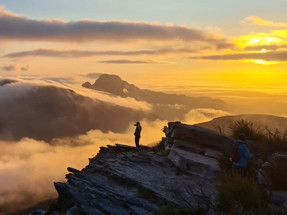
Learn moreThe Track passes through 22 national parks and other reserves. The northern half of the Track is home to large jarrah, marri and wandoo forests only found in this part of Western Australia, while the southern half features ancient karri and tingle forests opening onto the Southern Ocean for spectacular coastal walking where whales can be sighted between June and October.
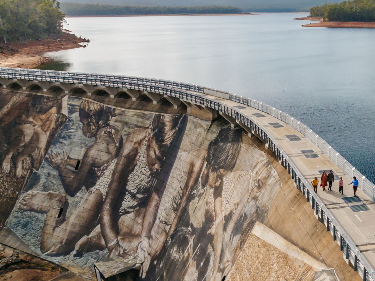
The award-winning Track also links some of the State’s most scenic and popular attractions including Mundaring Weir, the Gloucester Tree, Valley of the Giants Tree Top Walk, and Mandalay Beach.
Walkers can re-supply or base themselves in any of the towns along the way including Kalamunda, Dwellingup, Collie, Balingup, Pemberton, Northcliffe, Walpole, Denmark and Albany. At the half-way mark, the old mill town of Donnelly River Village offers a truly Australian experience with emus, kangaroos and other wildlife in abundance.
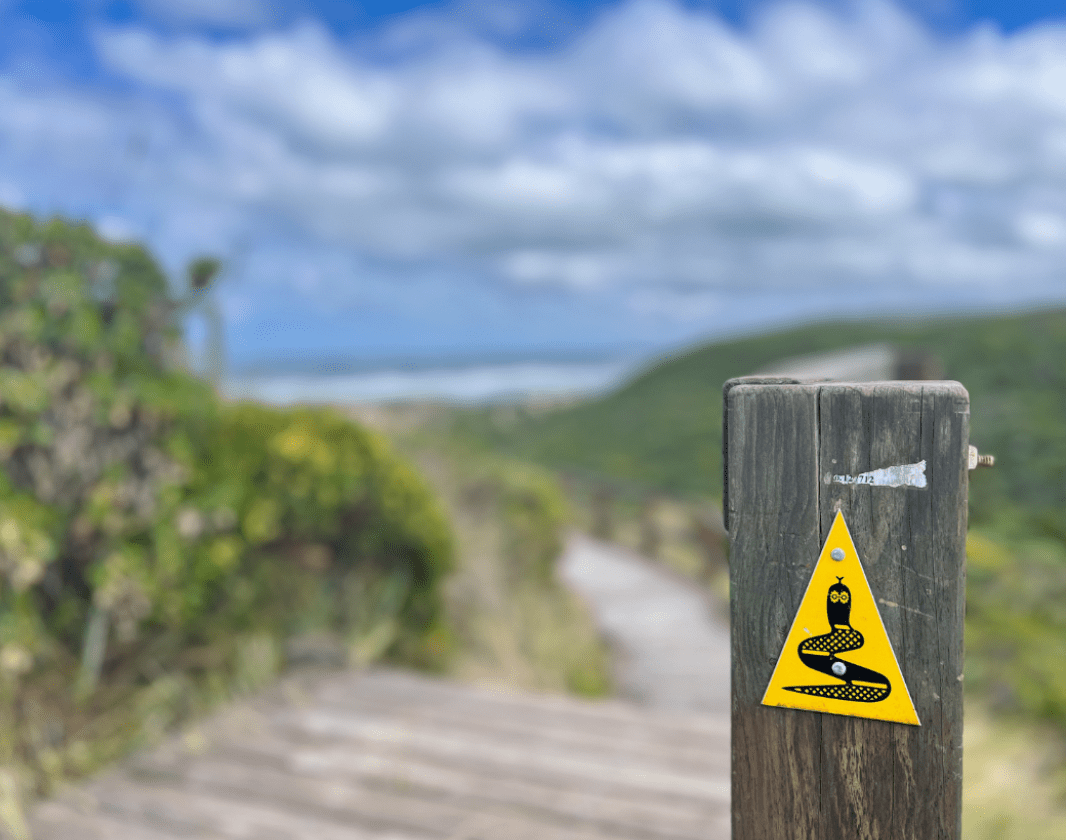
The Track is named after the Bibbulmun Noongar people, an aboriginal group which journeyed on foot over long distances for ceremonies. The distinctive trails markers depict the Waugal, a symbol of the Rainbow Serpent.
Although the Track is well marked, walkers are advised to use a map and guidebook. The eight water-resistant, full colour maps show car access points, campsites, terrain profiles and distances tables and are available from the Bibbulmun Track Foundation, Parks and Wildlife offices, equipment stores and some visitor information centres.
The campsites are in delightful locations and provide a welcome haven at day’s end. Facilities include a three-sided sleeping shelter, tent sites, picnic tables, water tank and toilet. Some campsites also have fireplaces but the use of fuel stoves is encouraged.
Distances between campsites range from 10 kilometres in the north to 20 – 25 kilometres in the south.
It’s important to plan your walk using the maps. There’s lots of useful information under ‘Trip Planning’ on the Bibbulmun Track website, or contact the Foundation for advice. The Foundation also offers:
For those who enjoy bushwalking – and their creature comforts – try a Bibbulmun Walking Break. Enjoy a day on the Track, and return to the comfort of a hot-shower, home cooking and a comfortable bed. Based around the Track towns, each with their own unique flavour, these self-drive itineraries range from two to six days. Each itinerary includes suggestions for day-walks on the Track, as well as interesting sights and attractions to visit, in and around the Track Towns.
Pick one itinerary or join several together to create your own epic, customised Bibbulmun Track holiday adventure.
A number of tour operators offer guided walks on the Track. Search on the Tourism WA website or the Accommodation and Services page on the Bibbulmun Track website.
DOWNLOADABLE ROUTE FILES
The KML file depicted on the map may not be the most up-to-date.
Check under LINKS TAB for the most up-to-date downloadable route files for the long trails: Bibbulmun Track, Cape to Cape Track, Munda Biddi Trail.
Check here for most up-to-date data which is updated when changes are made.
Self-drive itineraries linking day walks and other attractions around the Track towns.
Tours are run by the Bibbulmun Track Foundation and a number of other operators.
Comprehensive information on the South West region including destinations, things to see and do, accommodation and tours.
Comprehensive information on the Perth region including destinations, things to see and do, accommodation and tours.
Small group tours & transfers embracing connections with Wildflowers, Murals, Heritage trails.
Off The Beaten Track WA (OTBT) is Perth’s leading premier Hiking Experience & Adventure Tour operator, providing guests with over 70 safe, fun, inclusive experiences in a fully supported environment.
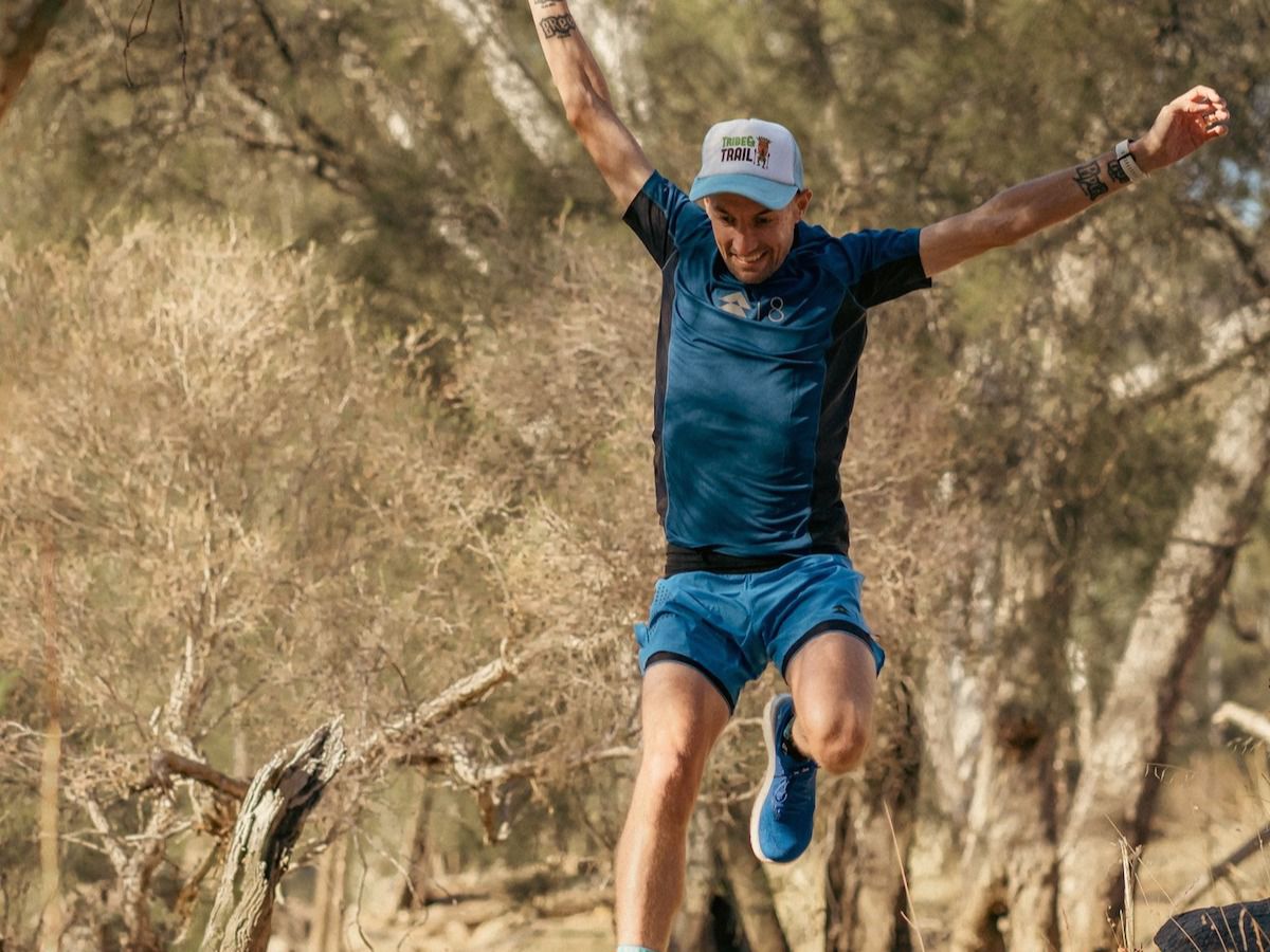
The Best Running Gear You Need for Your Next Trail Adventure and Road Run!
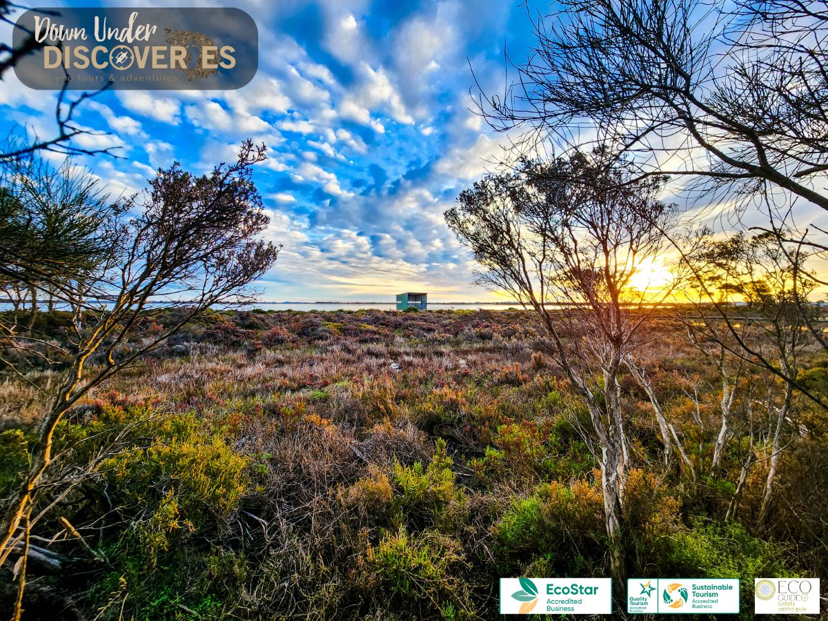
Welcome to Down Under Discoveries, where nature meets adventure, and every step is a journey of connection and discovery. Immerse yourself in the heart of WA with Chelle and her team Down Under.
Here is everything you need to know before visiting this trail.
6 - 8 weeks end-to-end. Trail can be walked in smaller sections including day walks.
Distance varies depending on section chosen. Anywhere from a short 2km stroll to 1000kms!
Group B - Hiking & Long Distance Trails (Bushwalks and/or longer trails) required.
Group B - Hiking & Long Distance Trails (Bushwalks and/or longer trails)
Multiple access points. The Northern Terminus is at Kalamunda, 24km (30 minutes) east of Perth.
The Southern Terminus is Southern Terminus is next to the Visitor Information Centre, 221 York Street, Albany.

Class 4
Difficult trail with rough surface that may have very steep hills or extensive rock hopping. Directional signage may be limited. Bushwalking experience, navigation and emergency first aid skills, and good fitness required.
Visit Trail Tips for further information.
April to December
Road or bus to Kalamunda. Road, bus or air to Albany


Earn points and badges and become a "TrailsWA Expert" by completing trails and leaving reviews.
Earn 20 points towards
your TrailsWA level
Earn the Overnight Hike , and Bibbulmun Track badges when you complete this trail.


We love to hear from people who've been on our Western Australian trails, so it would be most appreciated it if you wanted to leave a review.


Trails are free and bring so many benefits to our community by providing opportunities to have fun, get fit, socialise, explore and challenge yourself. But they also have to be managed and maintained which only is made possible through terrific sponsors, donations and/or volunteering.


View 7 Photos of Bibbulmun Track, Kalamunda to Albany
You are reporting a problem for Bibbulmun Track, Kalamunda to Albany. Please be as detailed as possible to help us appropriately identify and address the issue.

Join trails wa to add this trail to your favourite. By joining you will also be able to rate and review trails and share your photos with other trail goers!
Sign in to your account to add this trail to your list of favourites, and much more.
