
Visit Jarrahdale
A series of beautiful trails on Noongar Country, around the historic Jarrahdale township, where you can choose to walk, trot and pedal — all within an hour from the CBD. All you need to do is step outside.
Explore Jarrahdale


Trails WA supports the seven principles recommended by Leave No Trace Australia for minimising your impacts when using the trails.
Learn moreExplore the Balmoral Trail on foot -
The trail takes in the Balmoral Prisoner of War (POW) Camp and winds through bushland and farmland. Keep an eye out for the remnants of a log loading ramp and the 'shield trees' along the trail. These 'shield trees' have carved numbers and were once used as a grid reference system by foresters in the 1920s.
As you journey along, you will encounter interpretive signage narrating the history of the area and the significance of the scattered ruins that remain. The walk trail is guided by triangular markers with a hiking boot symbol.
At one point, the trail crosses private property, where stiles have been provided to provide access to walkers. Walkers are encouraged to stay on the designated trail and minimise disturbance.
The trail can be completed in either direction. Walkers also have the option of joining the trail from Jarrahdale townsite by following the Munda Biddi Trail.
Note: if you're planning to cycle the Balmoral Trail, please refer to the Balmoral Cycle Trail as the routes differ.
A series of beautiful trails on Noongar Country, around the historic Jarrahdale township, where you can choose to walk, trot and pedal — all within an hour from the CBD. All you need to do is step outside.
Explore Jarrahdale
(08) 9525 5358
(08) 9525 5114
Comprehensive information on the Perth region including destinations, things to see and do, accommodation and tours.
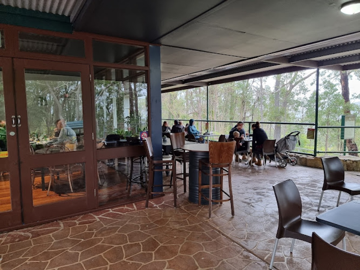
Bistro by the Dam, located in Jarrahdale, Western Australia, is a charming venue situated at 16634 Kingsbury Drive.
Here is everything you need to know before visiting this trail.
3-4 hours one way
10.5km one way
Group B - Hiking & Long Distance Trails (Bushwalks and/or longer trails) required.
Group B - Hiking & Long Distance Trails (Bushwalks and/or longer trails)
Balmoral POW Camp, Balmoral Road, East of Jarrahdale (70kms, 1 hour from Perth)

Class 3
Moderate trail that may have short steep hills, rough surface, many steps or some rock hopping. Directional signage. Some bushwalking experience and moderate fitness required.
Visit Trail Tips for further information.
Drive 2WD


Earn points and badges and become a "TrailsWA Expert" by completing trails and leaving reviews.
Earn 2 points towards
your TrailsWA level


We love to hear from people who've been on our Western Australian trails, so it would be most appreciated it if you wanted to leave a review.


 Less than 1 hour
 2.4km
2.4km
 Less than 1 hour
0.9km
Less than 1 hour
0.9km
 Less than 1 hour
1.3km
Less than 1 hour
1.3km


Trails are free and bring so many benefits to our community by providing opportunities to have fun, get fit, socialise, explore and challenge yourself. But they also have to be managed and maintained which only is made possible through terrific sponsors, donations and/or volunteering.
-(1680-×-200-px).jpeg)


View 3 Photos of Balmoral Walk Trail, Jarrahdale
You are reporting a problem for Balmoral Walk Trail, Jarrahdale. Please be as detailed as possible to help us appropriately identify and address the issue.

Join trails wa to add this trail to your favourite. By joining you will also be able to rate and review trails and share your photos with other trail goers!
Sign in to your account to add this trail to your list of favourites, and much more.
