
Off The Beaten Track WA
Off The Beaten Track WA (OTBT) is Perth’s leading premier Hiking Experience & Adventure Tour operator, providing guests with over 70 safe, fun, inclusive experiences in a fully supported environment.


Trails WA supports the seven principles recommended by Leave No Trace Australia for minimising your impacts when using the trails.
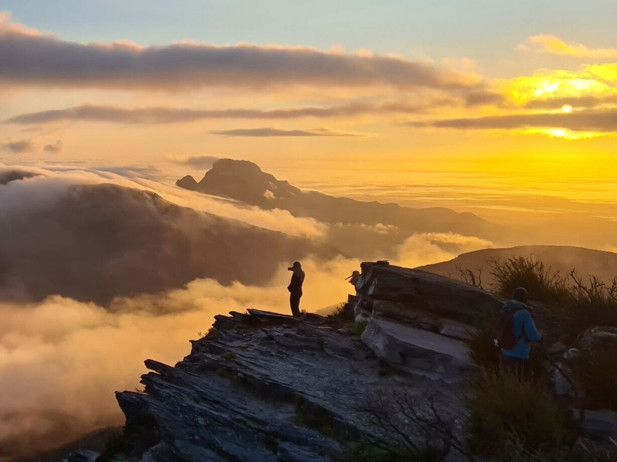
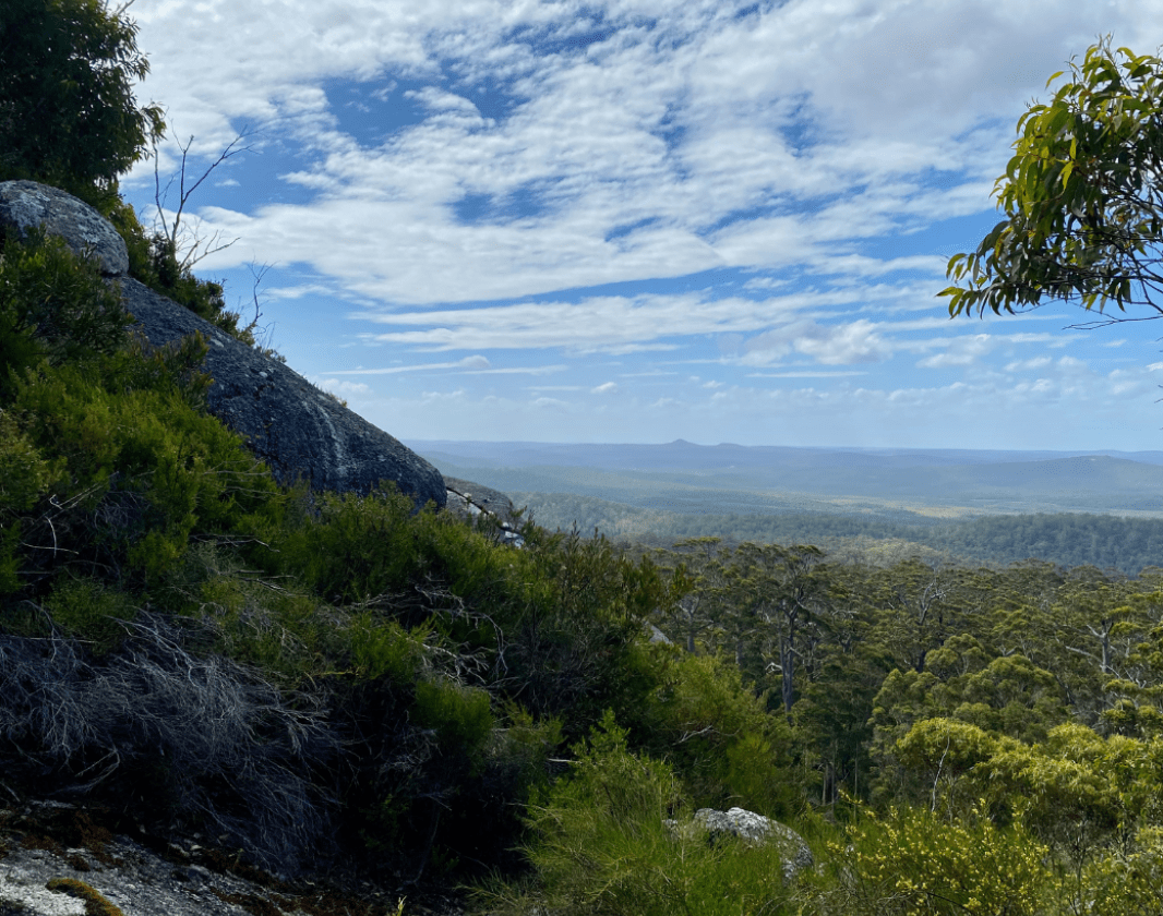
Learn moreLocated in the Mount Frankland National Park near Walpole, this short but steep walk takes you to the peak of Mount Frankland for fantastic views of the karri forest, the Frankland River below and on a clear day, the southern coastline. While at the top, look for the plaque that has the original Aboriginal name of Mount Frankland, Caldyanup, as well as directions pointing to other landmarks.
The trail starts next to the car park, at the base of Mount Frankland. Start on the bitumen track and climb to the top of the dome. The climb to the top includes over 300 steep concrete steps and requires a short ladder climb so a reasonable level of fitness is required. Walkers should also consider the weather conditions before proceeding on this walk.
On descent, take the trail to Soho Lookout and continue on the Caldyanup Trail which loops around the base of the rock (1.6km return-moderately difficult) to immerse yourself in one of the best granite and karri areas in the south west.
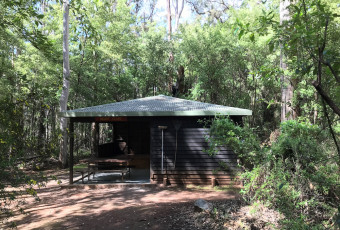
There is a picnic site near the car park, toilets and shelter where you can enjoy a break before or at the end of your walk.
Comprehensive information on the South West region including destinations, things to see and do, accommodation and tours.
Off The Beaten Track WA (OTBT) is Perth’s leading premier Hiking Experience & Adventure Tour operator, providing guests with over 70 safe, fun, inclusive experiences in a fully supported environment.
Here is everything you need to know before visiting this trail.
Up to 3 hours if you take time to rest and take in the views at the top.
1.2km return
Group B - Hiking & Long Distance Trails (Bushwalks and/or longer trails) required.
Group B - Hiking & Long Distance Trails (Bushwalks and/or longer trails)
Car park, Mount Frankland National Park. 30 minutes from Walpole which is 400km (4 hours) south of Perth.

Class 4
Difficult trail with rough surface that may have very steep hills or extensive rock hopping. Directional signage may be limited. Bushwalking experience, navigation and emergency first aid skills, and good fitness required.
Visit Trail Tips for further information.
All year but consider weather conditions at the time.
No fees apply
Road or train and bus to Walpole. Road to trail. The last section is unsealed but accessible to 2WD vehicles.


Earn points and badges and become a "TrailsWA Expert" by completing trails and leaving reviews.
Earn 3 points towards
your TrailsWA level
Earn the Tall Peak badge when you complete this trail.


We love to hear from people who've been on our Western Australian trails, so it would be most appreciated it if you wanted to leave a review.


Trails are free and bring so many benefits to our community by providing opportunities to have fun, get fit, socialise, explore and challenge yourself. But they also have to be managed and maintained which only is made possible through terrific sponsors, donations and/or volunteering.


-contain-1040x860.png)
-contain-1040x860.png)
-contain-1040x860.png)


View 9 Photos of Mount Frankland Summit Trail, Walpole
You are reporting a problem for Mount Frankland Summit Trail, Walpole. Please be as detailed as possible to help us appropriately identify and address the issue.

Join trails wa to add this trail to your favourite. By joining you will also be able to rate and review trails and share your photos with other trail goers!
Sign in to your account to add this trail to your list of favourites, and much more.
