Compare Hiking Experiences in WA
Compare Hiking Trails
Unsure which WA Hike Experience is the most suitable for you? Compare feature hiking experiences in WA today, and explore your preferred trails tomorrow.
 |
 |
 |
 |
 |
 |
 |
|
|---|---|---|---|---|---|---|---|
Location |
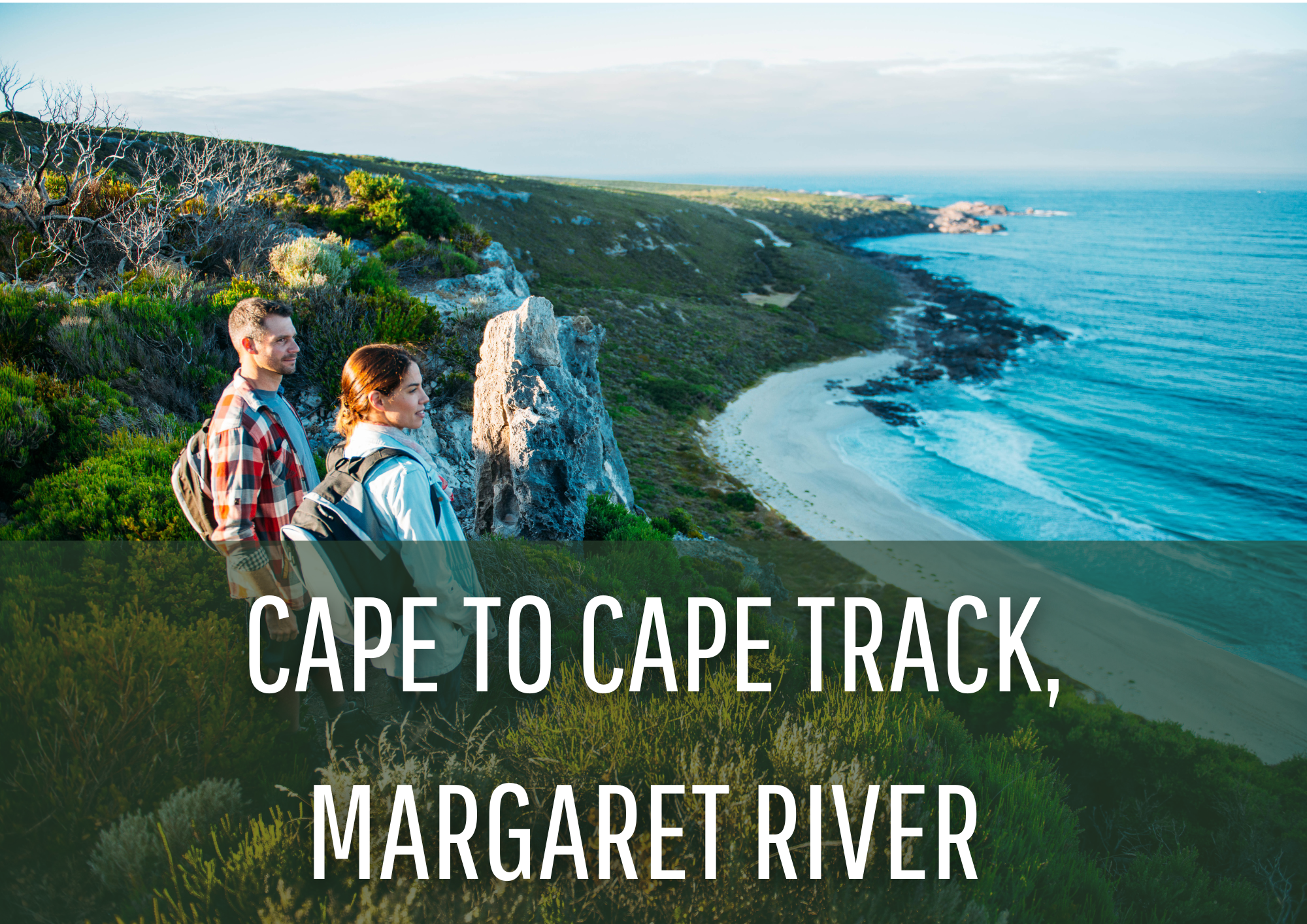
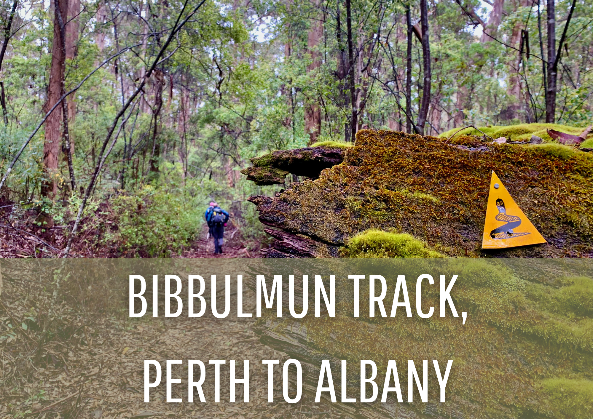
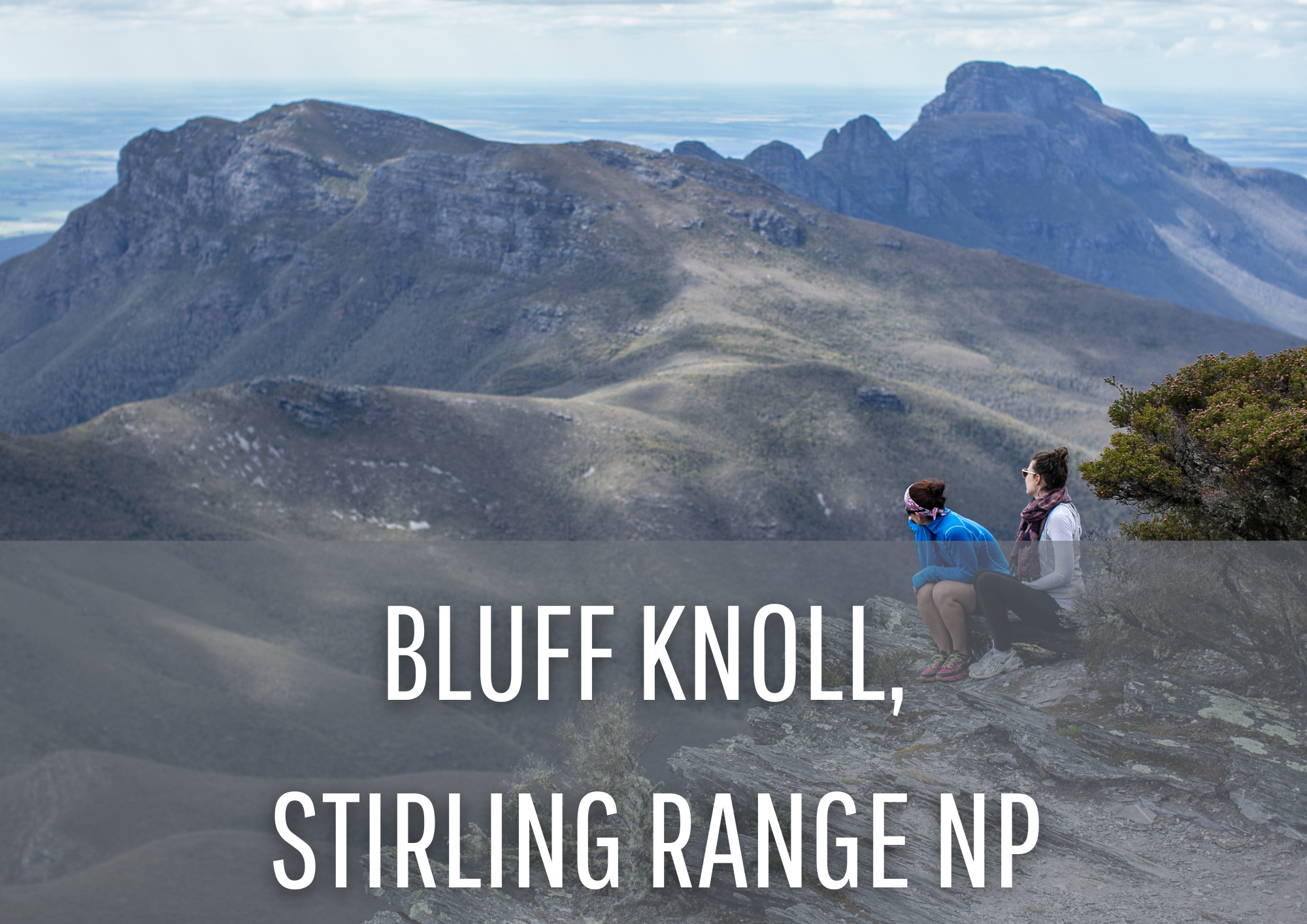
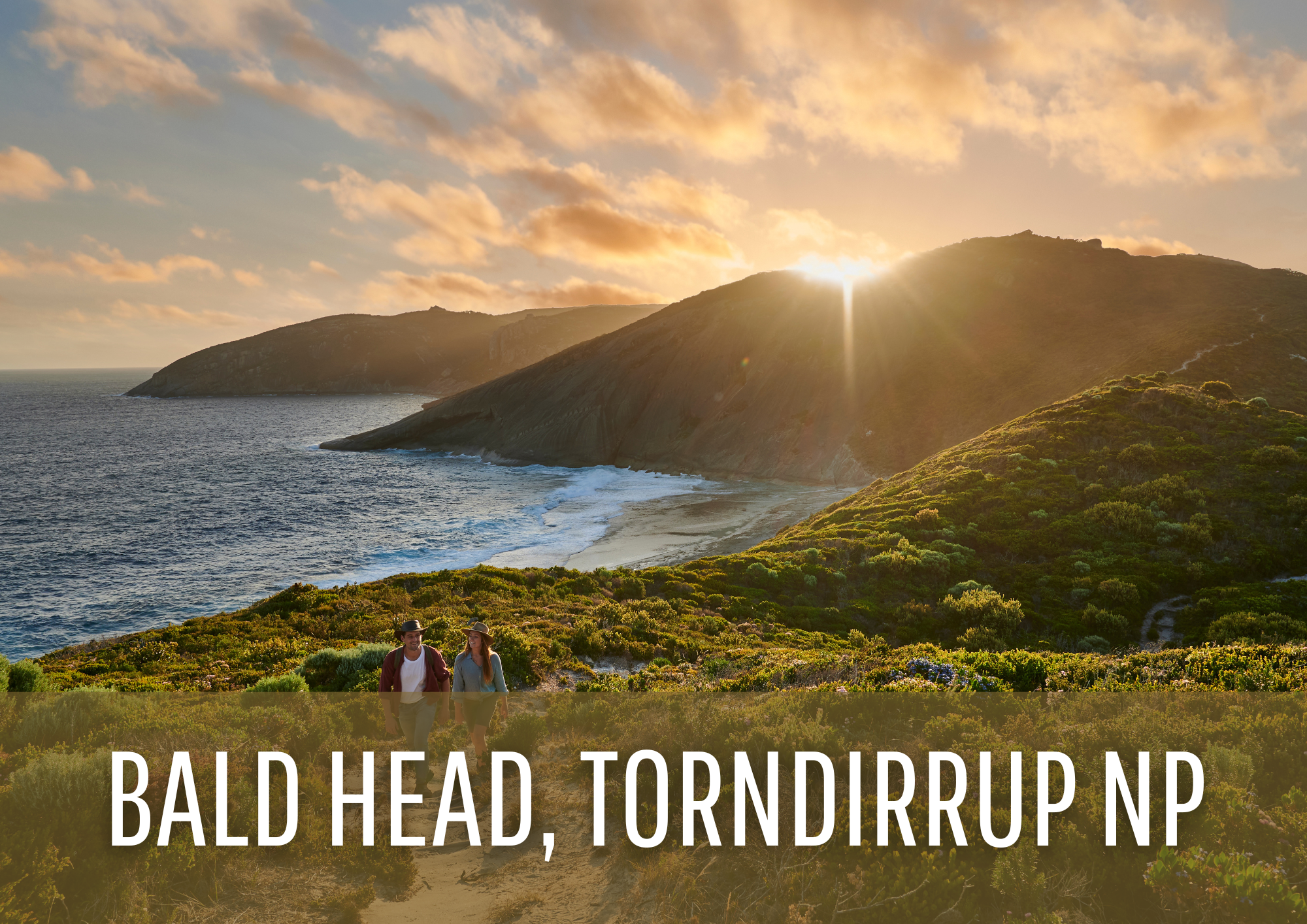
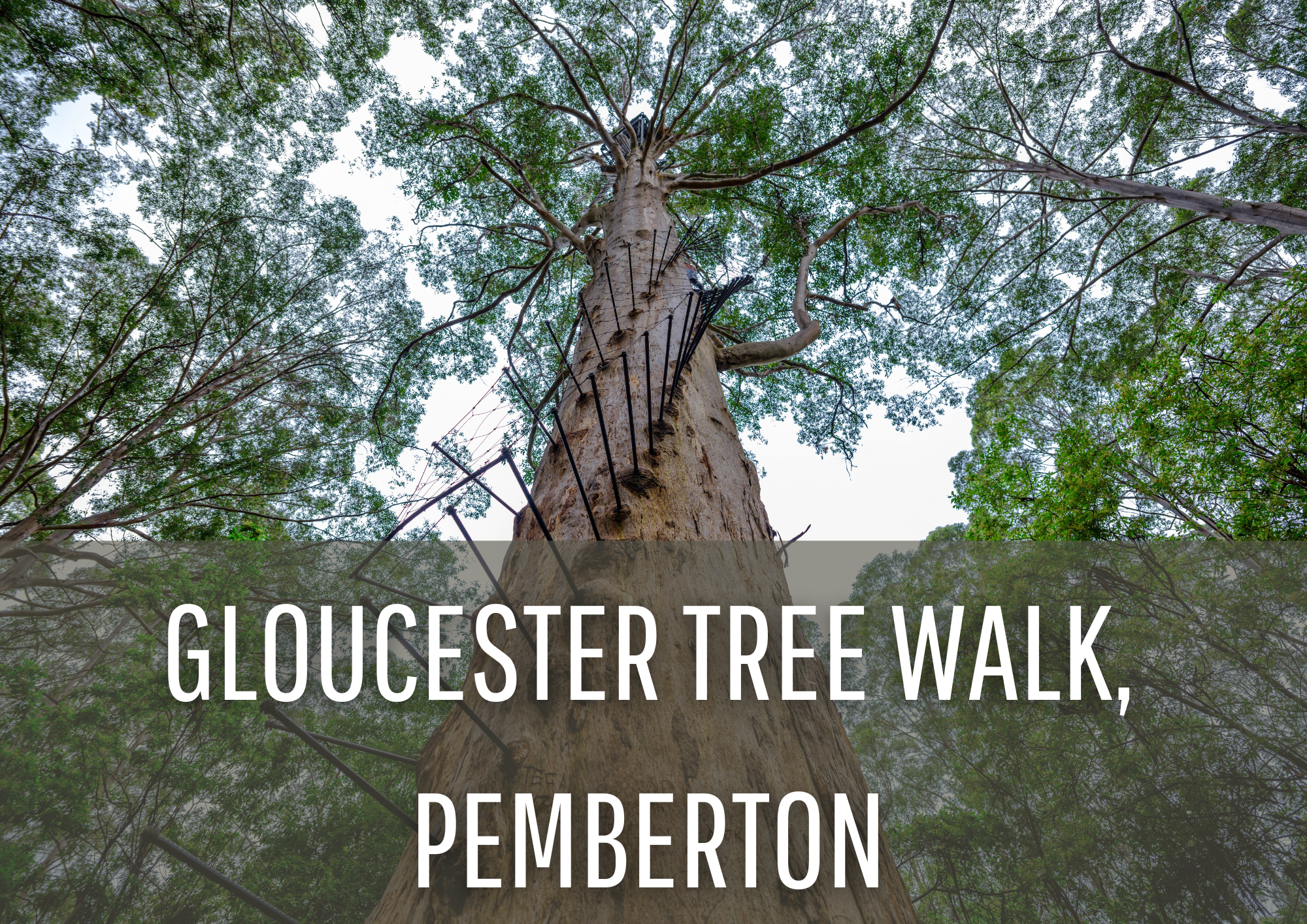
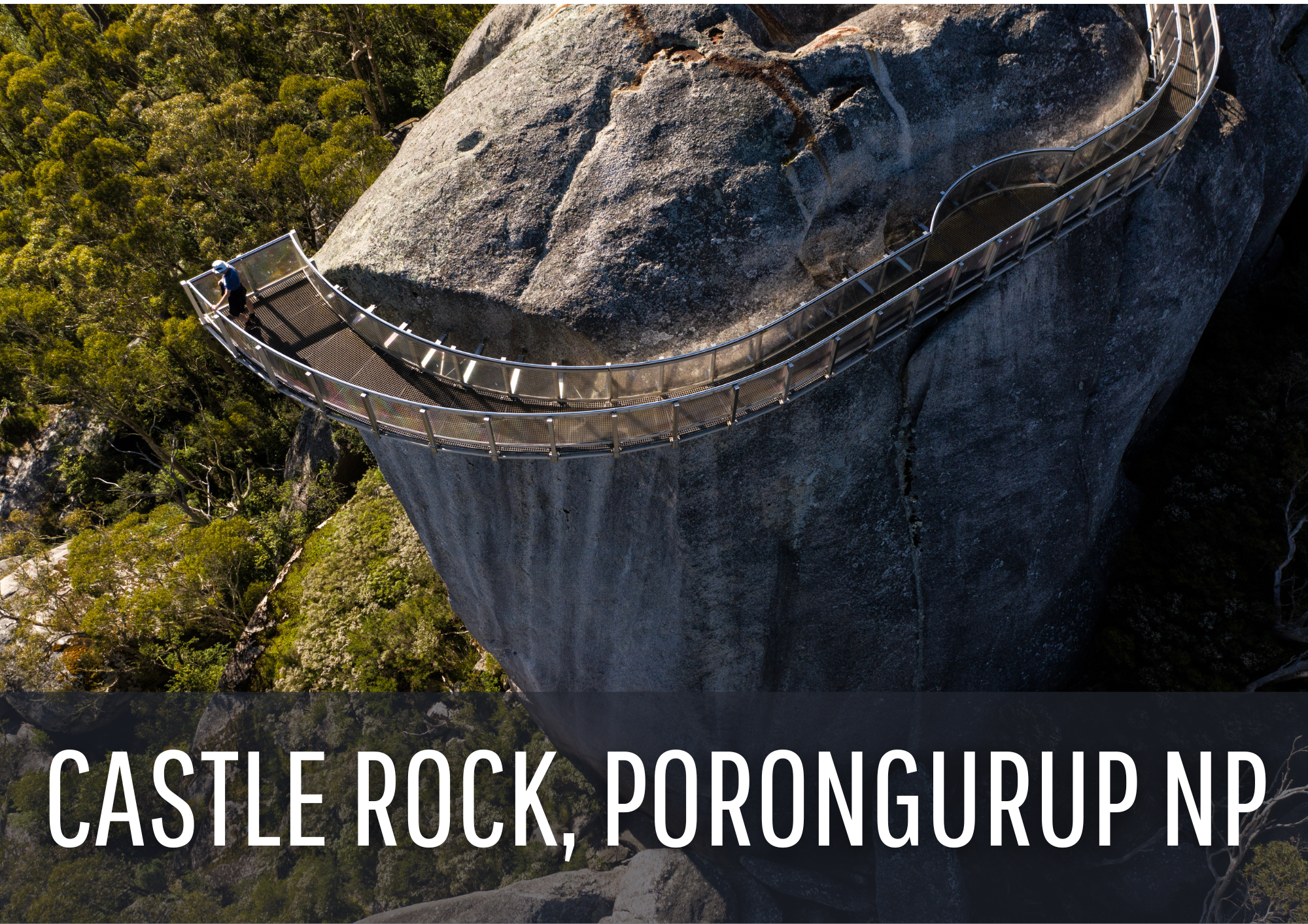
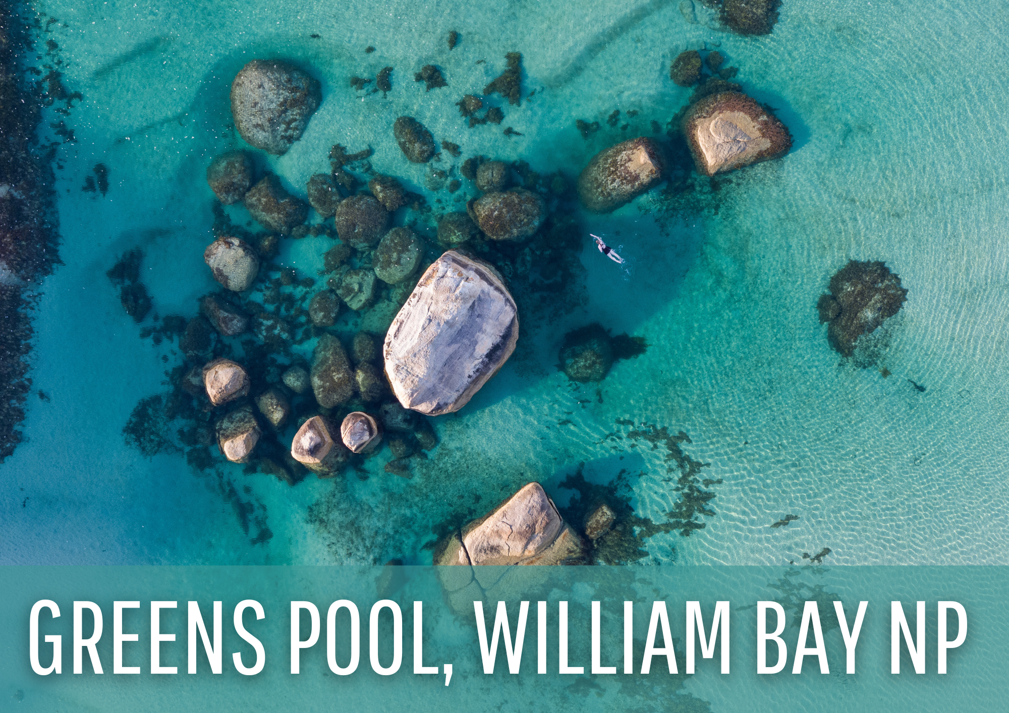
Dunsborough to Augusta | Perth to Albany | Stirling Range National Park, near Albany | Torndirrup National Park, near Albany | Pemberton | Porongurup National Park, near Albany | William Bay National Park, near Denmark |
Distance |
123km | 1000km | 6.8km | 12.5km | 6km | 4.7km | 1.2km |
Duration |
6 days* | 6-8 weeks* | 1 day | 1 day | 1 day | 1 day | 1 day |
Duration(incl. travel time from Perth) |
9 days* | 8 weeks* | 4 days | 4 days | 4 days | 4 days | 4 days |
Environs |
Coastal headlands, sea cliffs, beaches, coastal waters, rock formations | Coastal headlands, sea cliffs, beaches, coastal waters, rock formations, mountain peaks, sheltered bays, coastal plains, valleys, woodlands, scrub, tall forests | Mountain peak, coastal plains, unique flora, rock formationsTall karris, big forests | Coastal headlands, sea cliffs, beaches, coastal waters | Tall karris, big forests | Mountain peak, rock formations, unique flora, coastal plains | Coastal waters, sheltered bays, coastal headlands, rock formations |
Highlights |
Moses Rock Campsite, Hamelin Bay, Historic Ellensbrook House, Augusta Lighthouse, Cape Naturaliste Lighthouse, Canal Rocks | Mt Cooke, Dwellingup, Donnelly River Village, Peaceful Bay, Valley Of The Giants, Albany windfarm. | View from the top of the bluff, rare orchids, biodiversity hotspot | 360 degree views, granite sea cliffs, views of King George Sound | World's tallest climbable tree, Pemberton Visitors Centre, towering karri forest | View from the top, incredible rock formations, climb the Granite Skywalk | Arguably one of the best beaches in WA, stunning views, Elephant Rocks |
Mood |
|||||||
| I want to take my time and relax a little |  |
 |
 |
 |
 |
 |
 |
| We only have a short amount of time |  |
 |
 |
 |
 |
 |
 |
| This is a family holiday |  |
 |
 |
 |
 |
 |
 |
| I want to see beaches |  |
 |
 |
 |
 |
 |
 |
| I want to see the forests |  |
 |
 |
 |
 |
 |
 |
| Challenge Me! |  |
 |
 |
 |
 |
 |
 |
Stay |
Margaret River or Dunsborough | Perth or Albany | Albany | Albany | Pemberton | Albany | Denmark |
Getting There |
|||||||
|
|
Perth Airport -> Margaret River(3h, 30min) Busselton-Margaret River Airport -> Margaret River(45min) Margaret River -> Cape Naturaliste(1h) Margaret River -> Cape Leeuwin(45min) |
Perth Airport -> Kalamunda(20min)
|
Perth Airport -> Albany
Busselton Margaret River Airport -> Albany
Albany -> Stirling Range NP
|
Perth Airport -> Albany(4h, 50min)
|
Perth Airport -> Pemberton
Busselton-Margaret River Airport -> Pemberton
|
Perth Airport -> Albany(4h, 50min) Busselton Margaret River Airport -> Albany(3h, 30min) Albany -> Porongurup NP(30min) |
Perth Airport -> Pemberton
Busselton Margaret River Airport -> Denmark
Denmark -> William Bay NP
|
|
|
Melbourne/ Sydney -> Busselton-Margaret River Airport(4 hours) |
Melbourne/ Sydney -> Perth(4h 15m)
|
Melbourne/ Sydney -> Busselton - Margaret River Airport(4 hours) |
Melbourne/ Sydney -> Albany (via Perth)(6h, 30 min) |
Melbourne/ Sydney -> Busselton - Margaret River Airport(4 hours) |
Melbourne/ Sydney -> Busselton - Margaret River Airport(4 hours) |
Melbourne/ Sydney -> Busselton - Margaret River Airport
|
Start/ Finish |
Option to start at either Cape Leeuwin in the south, or Cape Naturaliste in the North. | Option to start at Albany or Perth. Southbound is the most common route. | Bluff Knoll Trailhead, Stirling Range National Park | Bald head Carpark, Bald Head Road, Torndirrup National Park | Pemberton | Granite Skywalk and Castle Rock Carpark, Porongurup National Park | William Bay National Park |
Fitness Level |

|

|

|

|

|

|

|
Difficulty |
Grade 4 | Grade 4 | Grade 4 | Grade 3 | Grade 2 | Grade 5 | Grade 4 |


Can’t find something you’re looking for?
Our Explore Map tool provides a lot of detail and filters to help explorers find the best and most suitable trails. Head on over to our Explore Map for greater search capacity.