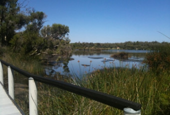


Brendon Burns rated Yaberoo Budjara Heritage Trail, Yanchep NP a 4 out of 5
A decent day's hike, or you can break it into sections:
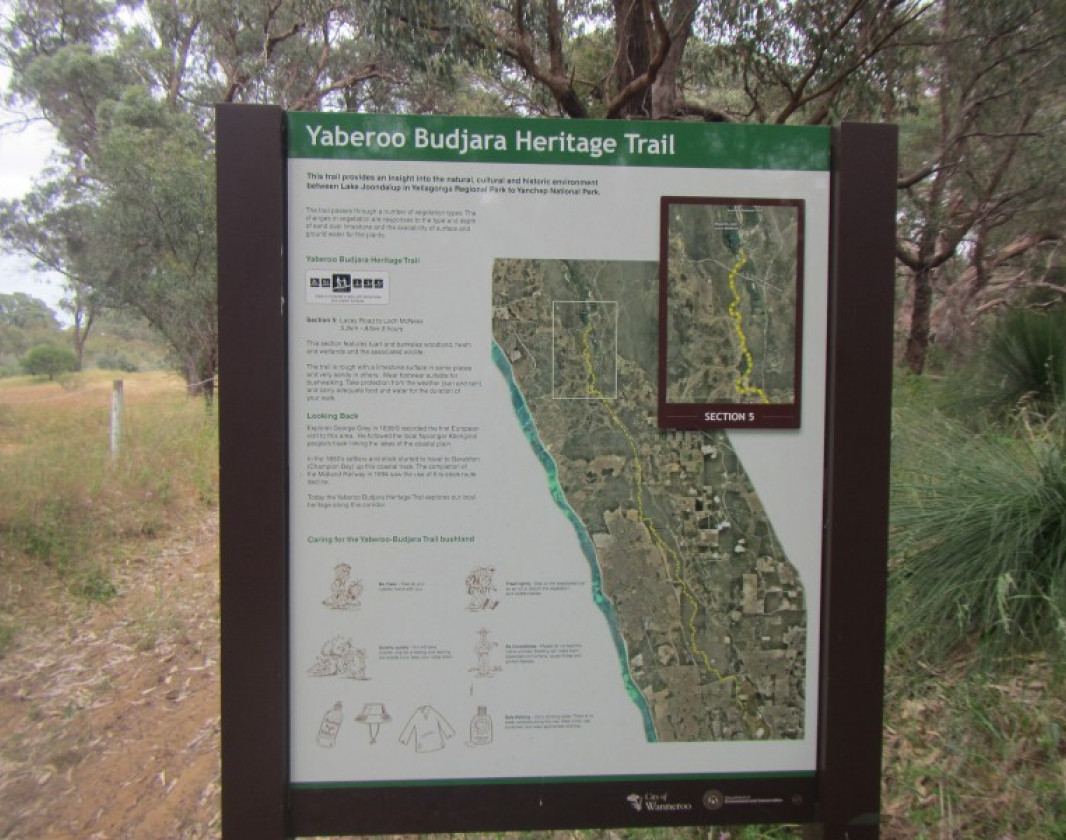
Yellagonga/Neil Hawkins Park to Burns Beach Rd,
Burns Beach Rd to Neerabup Rd,
Neerabup Rd to Hester Ave,
Hester Ave to Romeo Rd,
Romeo Rd to Pipidinny Rd,
Pipidinny Rd to Yanchep NP.
Generally hike along a limestone path, some mild undulations but not too steep, have to share the path with mountain bikes, but not an issue. I've walked this a few times & seen plenty of kangaroos, even the occasional emu, plus many different species of birds.


-crop-340x230.jpg)