

Trails WA supports the seven principles recommended by Leave No Trace Australia for minimising your impacts when using the trails.
Learn moreAbout Recovery Walk, Toolibin Lake
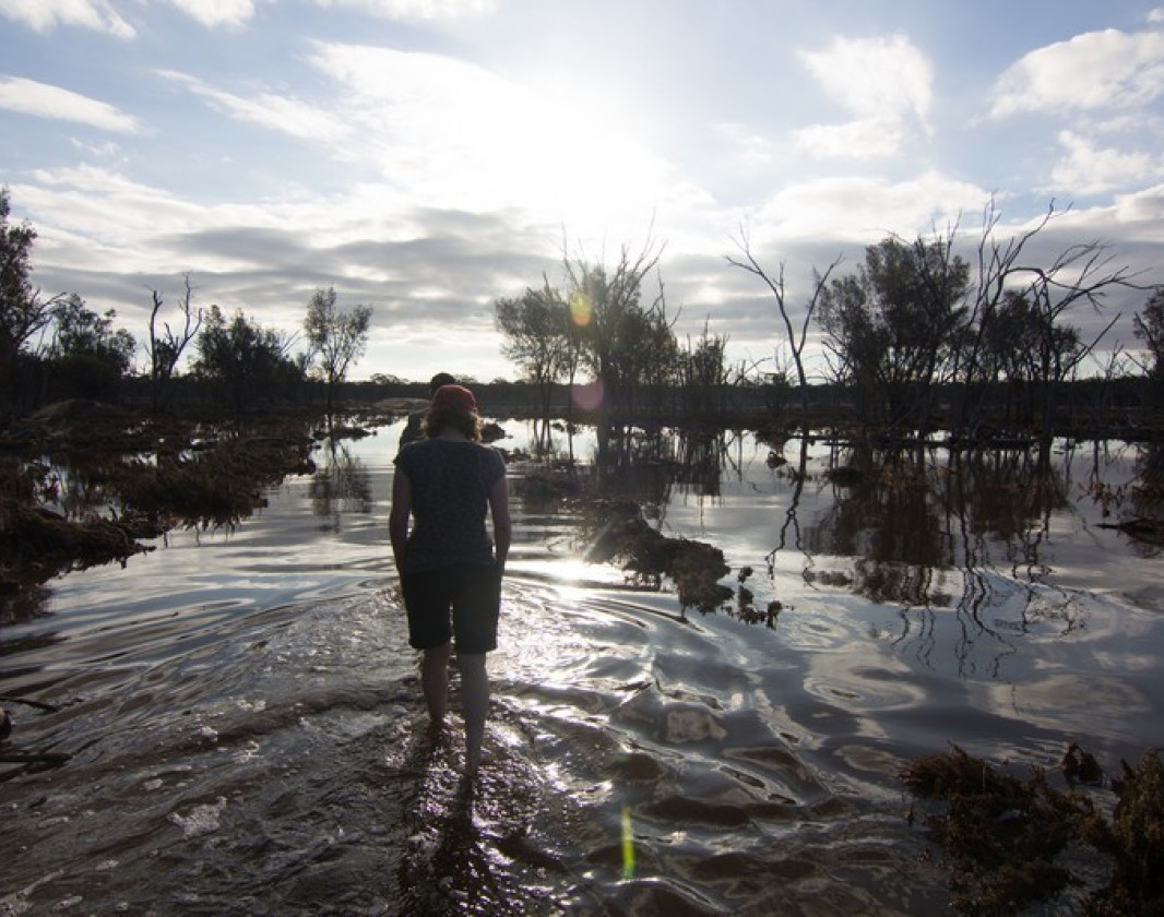
Toolibin Lake is a seasonal wetland, meaning it only has water at certain times of the year. When the wetland is full its woodland trees, sheoak (Casuarina obesa) and paperbark (Melaleuca strobophylla) are partially submerged in water.
The wetland has some of the richest habitat found in the region and provides a home for many kinds of plants and animals including waterbirds. An impressive 41 species of waterbirds have been recorded at the wetland, with 24 species breeding in the reserve. The threatened red-tailed phascogale also lives there.
Where is it found?
Toolibin Lake is found in the Upper Blackwood River catchment, 200km south east of Perth. It occurs in a low rainfall area of the Wheatbelt with average annual falls between 370mm and 420mm. Some years, rainfall is well below average. Unfortunately, Toolibin Lake is one of only half a dozen wetlands of its type remaining. This type of wetland used to be common throughout the Wheatbelt but most have now become saline.
The Upper Blackwood River catchment is in the Southwest Australia Ecoregion, a biodiversity hotspot. The area is high in plant and animal diversity but has also been severely degraded.
If the lakebed is flooded, you will not be able to complete this walk. However, you can still see the inflow channel, separator gate and vegetation around the lake edge. Observe how the vegetation changes along the walk. Look for lichen on trees that marks high water when the lake floods. Imagine water depths reaching over your head. Watch for old nests used by waterbirds when the lake floods.
Other Links
-
Australia’s Golden Outback
Comprehensive information on the Golden Outback region including destinations, things to see and do, accommodation and tours.
Be trail ready for Recovery Walk, Toolibin Lake
Here is everything you need to know before visiting this trail.
Time / Duration
Approximately 45 minutes
Length
1.6km loop
What To Pack
Group B - Hiking & Long Distance Trails (Bushwalks and/or longer trails) required.
What To Pack
Group B - Hiking & Long Distance Trails (Bushwalks and/or longer trails)
- Sun protection: hat, sunglasses, and sunscreen (SPF 30+)
- Insect repellent
- Plenty of drinking water (as a minimum carry and drink 1 litre of water per hour of walking, per person).
- PLB or satellite phone
- Clothing to suit the activity, environment and weather conditions.
- Map/ Compass, do not rely on your phone in remote locations.
- Snacks/ Meals to keep your energy levels up on longer walks
- Extra food and water in case of unexpected delays
- Rubbish bag to remove all your rubbish
- Reference material such as wildflower wildlife guides.
- Whistle (for emergencies, six short blasts per minute)
- Small trowel for toilet emergencies, and a few sheets of toilet paper in a small waterproof bag.
- Personal first aid kit (check that items are clean, properly sealed, have not exceeded expiry dates and that used items have been replaced).
- Torch/ Headlamp
- Binoculars and camera (optional)
Trail Start
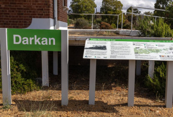
Toolibin Lake carpark is off Wickepin-Harrismith Rd, 235km (2 h 45 min) (232km) south east of Perth
Trail End
Bush Walk
Class 2
Easy trail with modified or hardened surface, and gentle hills or occasional steps. Clear directional signage. No bushwalking experience required. May be suitable for assisted wheelchair users (if ramps are provided at steps).
Visit Trail Tips for further information.
Facilities
- BBQ Facilities
- Car Park
- All accessible parking
- Picnic Area
- Public Toilet
- Shaded Area
- Sheltered Area
- All accessible toilet facilities
Best time of year
April to November
Trail Access
2WD
Prohibited Items
No pets.

Complete Recovery Walk, Toolibin Lake to earn badges and points!
Earn points and badges and become a "TrailsWA Expert" by completing trails and leaving reviews.
Earn 1 point towards
your TrailsWA level


Be the first to review Recovery Walk, Toolibin Lake
We love to hear from people who've been on our Western Australian trails, so it would be most appreciated it if you wanted to leave a review.
Add your review of Recovery Walk, Toolibin Lake
Like this trail? Explore others nearby
More around Golden Outback
 1-3 hours
 23km
23km


Baiting in this area


Supported by great organisations
Trails are free and bring so many benefits to our community by providing opportunities to have fun, get fit, socialise, explore and challenge yourself. But they also have to be managed and maintained which only is made possible through terrific sponsors, donations and/or volunteering.
-(1680-×-200-px).jpeg)


Toolibin Lake
In February 2017, Toolibin Lake filledfor the first time since the early 1990s.
Toolibin Lake full of water is a lovely sight.

Walk trail

The 'lake' in drier times.

View 5 Photos of Recovery Walk, Toolibin Lake
Upload your photo of Recovery Walk, Toolibin Lake
Report a Problem
You are reporting a problem for Recovery Walk, Toolibin Lake. Please be as detailed as possible to help us appropriately identify and address the issue.