Chelle Fisher rated Mt Clare Summit Trail, Walpole-Nornalup NP a 2 out of 5
Its a short and easy enough walk but not sure where the views were the info talks about. Recommend adding on the Deep River Loop to make it worthwhile.


Trails WA supports the seven principles recommended by Leave No Trace Australia for minimising your impacts when using the trails.
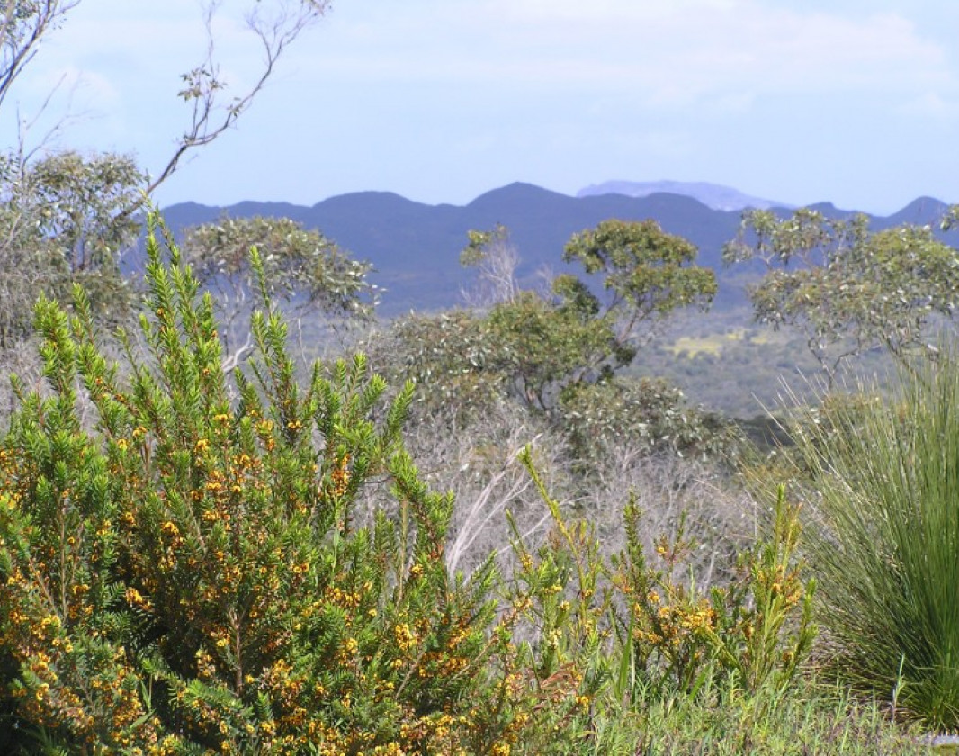
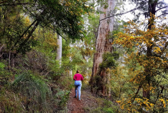
Learn moreThis track follows the Bibbulmun Track from the parking area on Tinglewood Drive to the summit of Mount Clare. A gradual uphill walk takes you through magnificent tingle and karri forest. From the rest area, where the Bibbulmun Track continues to the Nuyts, the walk becomes slightly more difficult, however, your reward is the view to the coast and across the Walpole Wilderness.
The Walpole Wilderness area embraces seven National Parks, Forest Conservation Areas and Nature Reserves, totaling 363,000 hectares, including areas of classified wilderness. About 20,000 hectares within the Walpole Wilderness area are classified “wilderness”.
To get to the carpark drive approximately eight kilometres west of Walpole along the South West Highway. Turn onto Tinglewood Road and travel about a kilometre along the gravel road.
‘
Explore Parks Mount Clare
Guide to the Bibbulmun Track
Comprehensive information on the South West region including destinations, things to see and do, accommodation and tours.
Here is everything you need to know before visiting this trail.
1-1.5 hours
2.4km return
Group B - Hiking & Long Distance Trails (Bushwalks and/or longer trails) required.
Group B - Hiking & Long Distance Trails (Bushwalks and/or longer trails)
Mount Clare car park, Tinglewood Drive. Walpole-Nornalup National Park, 400km (5hours) south of Perth

Class 3
Moderate trail that may have short steep hills, rough surface, many steps or some rock hopping. Directional signage. Some bushwalking experience and moderate fitness required.
Visit Trail Tips for further information.
March to November
National Park fees
By road 400km along south west highway (5 hours) to Tinglewood Drive, 6km west of Walpole. Follow Tinglewood Drive for 1 km to parking area on right hand side.


Earn points and badges and become a "TrailsWA Expert" by completing trails and leaving reviews.
Earn 2 points towards
your TrailsWA level
Earn the Bibbulmun Track badge when you complete this trail.


We love to hear from people who've been on our Western Australian trails, so it would be most appreciated it if you wanted to leave a review.
Trails are free and bring so many benefits to our community by providing opportunities to have fun, get fit, socialise, explore and challenge yourself. But they also have to be managed and maintained which only is made possible through terrific sponsors, donations and/or volunteering.


View 5 Photos of Mt Clare Summit Trail, Walpole-Nornalup NP
You are reporting a problem for Mt Clare Summit Trail, Walpole-Nornalup NP. Please be as detailed as possible to help us appropriately identify and address the issue.

Join trails wa to add this trail to your favourite. By joining you will also be able to rate and review trails and share your photos with other trail goers!
Sign in to your account to add this trail to your list of favourites, and much more.


-crop-340x230.jpg)