Chelle Fisher rated Mount Burnett Trail, Mount Frankland South NP a 3 out of 5
Hidden little gem I happened to find on the way back from hiking Mount Pingerup. Nice little trail with beautiful views of the Walpole Wilderness.


Trails WA supports the seven principles recommended by Leave No Trace Australia for minimising your impacts when using the trails.
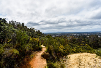
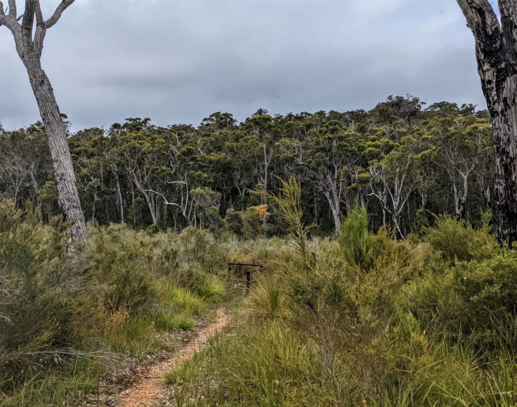
Learn moreThe Mount Burnett Loops provides walkers with a great place to stop for a picnic and a short bush walk when travelling between Manjimup and Walpole, and experience the Walpole wilderness that Mount Frankland National Park has to offer. A short kilometre long loop takes you up with views of the surrounding Jarrah forests, to a lookout on top of a granite outcrop. Then returning to the parking area via a loop trail that passes through more Jarrah forest interspersed with bull banksia and grass trees.
(08) 9840 1111
Comprehensive information on the South West region including destinations, things to see and do, accommodation and tours.
Here is everything you need to know before visiting this trail.
30 minutes return
1km loop

Class 3
Moderate trail that may have short steep hills, rough surface, many steps or some rock hopping. Directional signage. Some bushwalking experience and moderate fitness required.
Visit Trail Tips for further information.
April to October
Entry to Mount Frankland South National Park is free
No pets allowed


Earn points and badges and become a "TrailsWA Expert" by completing trails and leaving reviews.
Earn 2 points towards
your TrailsWA level


We love to hear from people who've been on our Western Australian trails, so it would be most appreciated it if you wanted to leave a review.


Trails are free and bring so many benefits to our community by providing opportunities to have fun, get fit, socialise, explore and challenge yourself. But they also have to be managed and maintained which only is made possible through terrific sponsors, donations and/or volunteering.


View 4 Photos of Mount Burnett Trail, Mount Frankland South NP
You are reporting a problem for Mount Burnett Trail, Mount Frankland South NP. Please be as detailed as possible to help us appropriately identify and address the issue.

Join trails wa to add this trail to your favourite. By joining you will also be able to rate and review trails and share your photos with other trail goers!
Sign in to your account to add this trail to your list of favourites, and much more.