Melville Water Riverpark Trail


Details for trail on a map
Trail Start
Get directionsFremantle Traffic Bridge or Canning Bridge
Trail End
Get directionsCanning Bridge or Fremantle Traffic Bridge
Offline Maps
TrailsWA Now supports Offline Maps. Follow the instructions below to save trail maps to your phone.

-
Visit trailswa.com.au on your mobile Our Offline Maps will require you to be connected to trailswa.com.au using the device you intend to take on your trip.
-
Add to Home Screen Save the trailswa.com.au webpage to your home screen.
-
Find your trail, and Save Offline Via the bookmark saved to your devices home screen, explore our trails and find the one you want - select "Save this map to use offline". You will need to be connected/online at this point.
Since the early days of European settlement, the Swan and Canning were working Rivers; the first transport and communication corridor between Perth and Fremantle. The proposition of connecting Fremantle to North Fremantle by bridge was a necessary and complex undertaking. As the colony and the harbour expanded from 1863 onwards, four separate bridges were constructed in roughly the same place. The current bridge built in 1939 was predicted to stand for only three years, however it continues to serve as a major traffic bridge, many years later.
Today at low tide, the wooden footings of the original bridge built in 1863 are still visible when looking across the river to North Fremantle.
Photo: State Library of Western Australia 010733d - Fremantle Bridge 1880-1890
The bridge was constructed in 10 stages and was, at the time, the longest bridge in Western Australia at 415 metres. Opened in 1974 (three months ahead of schedule), the bridge carries the name of Western Australia’s first Governor and founder of the Swan River Colony, Captain James Stirling.
A walk along the path under the Stirling Bridge is a great way to appreciate the sights, sounds and stories of the Swan; particularly for fans of Australian band AC/DC, who can pause under the southern abutment and look at the mural of the late Bon Scott (1946-1980), lead singer and Fremantle local.
Photo: State Library of Western Australia 111732PD - "Castlemaine Brewery 1923"
“Niergarup” is Noongar for “the place where pelicans meet” and is the name the Whadjuk people gave to the Preston Point area. Look for the limestone plinths that mark the start and end of the trail. The trail is suitable for walking only.
Photo: Ben Ansell DPaW
To address and lessen the impact of fishing line entanglements, the Department of Parks and Wildlife have launched the ‘Reel It In’ campaign. Dedicated fishing line bins have been installed at jetties, fishing platforms, traffic bridges and yacht clubs to provide the community with an easy and safe way to dispose of unwanted fishing tackle and line
Photo: Richard Gorham DPaW
Bicton Baths is situated in a tidal gorge and heavily influenced by ocean water inflow, this location is a haven for biodiversity. A variety of marine creatures make their home here, taking advantage of the mixture of limestone and sandy features. Take a look under water at this location and you will find anemones, starfish, sponges, nudibranchs, seahorses and a wide assortment of algae, shrimp, crabs and fish.
To Noongars this area is known as Kwoppa Kepa, which translates to “beautiful water” in Noongar. To learn about the Whadjuk Noongar cultural significance of this site, download the free ‘Geotourist’ app and search for the trail 'Jenna Biddi Yorga', which will guide you to a series of audio stories shared by Whadjuk Elders.
Also, look out for the wooden interpretation facility to learn more about Bicton Baths.
Photo: Ben Ansell DPaW
In 1830, following the original Swan River colony settlers, a second wave of colonists received land grants; however, only two chose to stay and develop property here. One of these men was Alfred Waylen, whose plans included building a tavern and establishing a ferry service for patrons. Waylen also cut a channel in the spit at Point Walter which was heavily used as a stopping point between Fremantle and Perth, despite constant silting.
Point Walter is known as Djoondalup to the local Whadjuk people, which means “place of white sand” in Noongar. To learn about the Whadjuk Noongar cultural significance of this site, download the free ‘Geotourist’ app and search for the trail 'Jenna Biddi Yorga', which will guide you to a series of audio stories shared by Whadjuk Elders.
Also, look out for the wooden interpretation facility near the jetty to learn more about Point Walter.
Photo: Ben Ansell DPaW
During the 1960’s, a major land reclamation project was undertaken on the Swan River foreshore between Point Walter and Point Waylen. The river was dredged and hundreds of thousands of cubic metres of sand fill was dumped on the Attadale foreshore. This effectively buried the fertile swamps and mudflats and produced instead a much more sterile area with a view to improving it for recreational usage.
Today, the Friends of Attadale Foreshore Inc. (FOAF) plays a vital role in partnership with other agencies to protect and enhance this significant area of the Swan River for everyone to enjoy.
Photo: Ben Ansell DPaW
To learn more about the Swan Estuary Marine Park, look up its EveryTrail guide at: http://www.everytrail.com/guide/swan-estuary-marine-park
Photo: Ben Ansell DPaW
You can retrace historical development of the telecommunications stations by following the Wireless Hill Heritage trail that runs up Cunningham Street. Starting at German Jetty, the trail crosses Canning Highway and heads to the top of Wireless Hill Park to the telecommunications museum. It then sweeps through spectacular natural bushland and features views of the Swan River and the city of Perth. Once you enter Wireless Hill Reserve look for signs bearing the Heritage trails network symbol.
Photo: Ben Ansell DPaW
Excluding regular visitors, the Riverpark is home to over twenty resident dolphins, each uniquely identified and named. These resident dolphins account for nearly all of the dolphin sightings in the Riverpark. They are given resident status because they use the estuary all year-round, forming a single community with frequent interaction and association amongst each other. This Riverpark community is distinct from dolphin communities which also reside in the Cockburn Sound and Owen Anchorage areas. For more information on river dolphins, visit the River Guardians ‘Dolphin Watch’ webpage here: http://www.riverguardians.com/projects/dolphin-watch
Photo: Ben Ansell DPaW
Heathcote was one of the original places considered as an ideal location to site the capital city before the site at the foot of Mount Eliza was chosen as the location of Perth. This site was named by Captain James Stirling after Midshipman G.C. Heathcote, a member of the 1827 Swan River expedition. However Heathcote's traditional name is Kooyagarup - "place of the big nose frog", in Noongar.
Kooyagarup has great significance to Whadjuk people, as this area was once a Whadjuk men’s ceremonial site. To learn more about the Whadjuk Noongar cultural significance of this area, visit the Department of Parks and Wildlife’s ‘Explore Parks WA’ website, which will guide you to a series of audio stories shared by Whadjuk Elders.
Also, look out for the wooden interpretation facility which holds more historic information about the site, found at the lower cliff side overlooking Waylen Bay. While you are here, also take a walk around the upper lands of Heathcote to learn about the history of the Heathcote Mental Reception Home, which operated from 1929 to 1994.
Photo: Ben Ansell DPaW
This area is known as Wagoorjup, or “the place of the Waagal” in Noongar. The Waagal is a powerful serpent-like dreamtime spirit that created the rivers, waterholes, lakes, valleys and landforms on its journey from inland West Australia to the ocean. Noongars believe the Waagal to be the giver of life.
Photo: Ben Ansell DPaW

Trails WA supports the seven principles recommended by Leave No Trace Australia for minimising your impacts when using the trails.
Learn moreAbout Melville Water Riverpark Trail
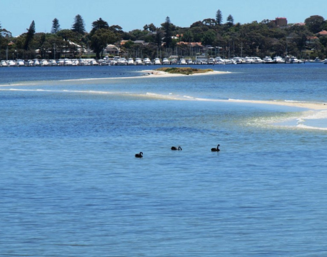
Melville Water Riverpark Trail aims to take you on a journey from Fremantle Traffic Bridge to Canning Bridge, showcasing the many different perspectives that exist in the Riverpark. These perspectives aim to enrich our knowledge and understanding of the natural and cultural values of the Riverpark.
This sixteen kilometre trail stretches along some of Perth's most precious foreshore, boasting impressive views of Perth's city skyline. The trail is both walker and cycle friendly, and can be enjoyed anytime of the year.
While the trail is not marked by directional signage, the trail does have a number of points of interest, which can be accessed on your mobile smart phone. Also, look out for the wooden interpretation facilities at Bicton Baths, Point Walter and Heathcote. These interpretation facilities serve as an information portal, which provides invaluable information about the Riverpark's ecological, historical, and Noongar cultural & heritage values.
Other Links
-
Experience Perth
Comprehensive information on the Perth region including destinations, things to see and do, accommodation and tours.
Be trail ready for Melville Water Riverpark Trail
Here is everything you need to know before visiting this trail.
Time / Duration
Time depends on mode of transport
Length
32km return
What To Pack
Group A (Urban trails or short trails near facilities) required.
What To Pack
Group A (Urban trails or short trails near facilities)
- Full large water bottle per person.
- Sun hat or bike helmet (compulsory in WA).
- Sunglasses, sunscreen (30+) and insect repellant.
- Clothes to suit the activity and potential weather conditions (See suggestions below).
- Binoculars and camera (optional).
Facilities
In most reserves surrounding the Swan Canning Riverpark, dogs are permitted but must be on a leash. However there are a number of locations where dogs are not allowed. Please note, dog exercise guidelines are administered by each local council and can vary, so please ensure you check each local council’s guidelines before bringing your dog. For a general guide, online lists of dog friendly parks in the Perth metropolitan area, please click here: http://www.vetwest.com.au/pet-library/dog-friendly-parks-and-beaches-in-the-perth-metropolitan-area- Access with assistance for the Disabled
- BBQ Facilities
- Bicycle Locker
- Bicycle Path
- Cafe
- Car Park
- Child Activities
- Coach Parking
- Kiosk
- Lookouts
- Picnic Area
- Public Toilet
- Shaded Area
- Sheltered Area
- Toilet Facilities for Disabled
- View Platform
- Water Access Points
Best time of year
All year round
Trail Access
Walk, cycle, or catch public transport from either Fremantle or Canning Bridge


Complete Melville Water Riverpark Trail to earn badges and points!
Earn points and badges and become a "TrailsWA Expert" by completing trails and leaving reviews.

Earn 1 point towards
your TrailsWA level

Earn the Mountain Biker badge when you complete this trail.


2 trail goers have rated Melville Water Riverpark Trail as 5 out of 5!
We love to hear from people who've been on our Western Australian trails, so it would be most appreciated it if you wanted to leave a review.
Add your review of Melville Water Riverpark Trail
Like this trail? Explore others nearby
More around Perth & SurroundsSupported by great organisations
Trails are free and bring so many benefits to our community by providing opportunities to have fun, get fit, socialise, explore and challenge yourself. But they also have to be managed and maintained which only is made possible through terrific sponsors, donations and/or volunteering.
-(1680-×-200-px).jpeg)

View 1 Photos of Melville Water Riverpark Trail
Upload your photo of Melville Water Riverpark Trail
Report a Problem
You are reporting a problem for Melville Water Riverpark Trail. Please be as detailed as possible to help us appropriately identify and address the issue.