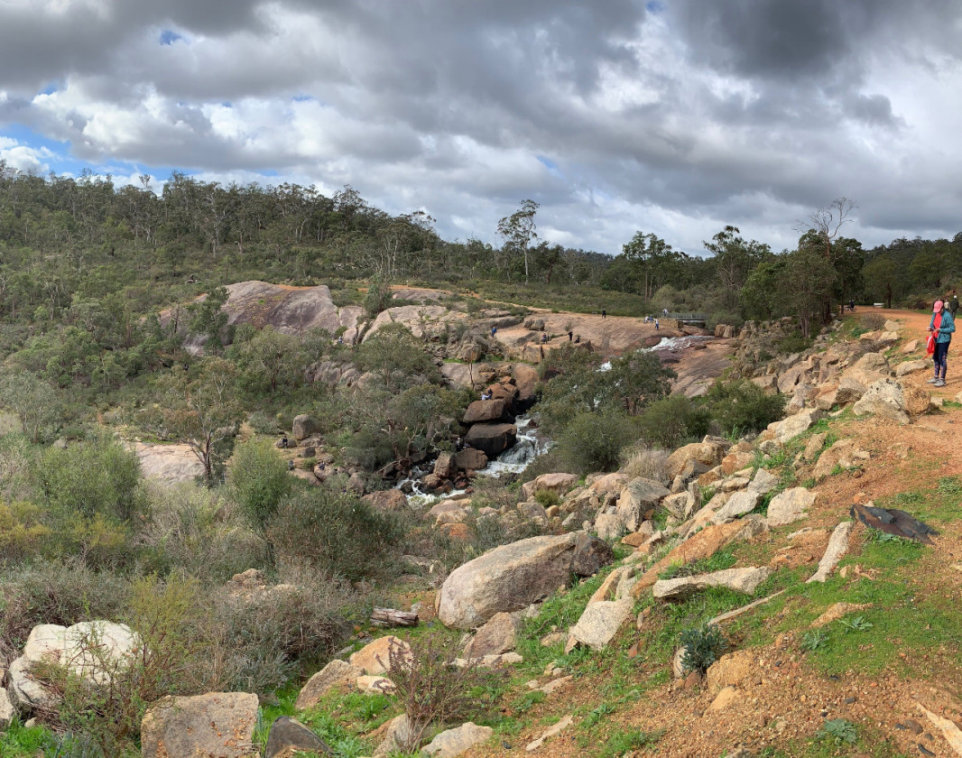
The geotrail starts at the Pechey Road – Swan Terrace car park and meanders east along the route of the former railway. The broad, level surface is ideal for walking or cycling, jogging or even dawdling — so you can stop to smell the… rocks! Cuttings along the trail expose the bedrock where it was excavated to construct the railway. Below the former railway route, Jane Brook forges a path eastwards to its headwaters on the granitic plateau.
You can explore the geotrail while using a handy book published by the Geological Survey of Western Australia. This book describes the main rock types and landscape features encountered along the route. Take a closer look at the rocks at selected locations, and enjoy sweeping views down the valley. Discover how geology, water, weathering, time and the determination of railway labourers have conspired to create a setting that is simultaneously ancient and contemporary.
Download the book and an accompanying map from the Department of Mines, Industry Regulation and Safety (DMIRS) eBookshop. You can also ask for a free copy at the Shire of Mundaring office or at the John Forrest NP headquarters.