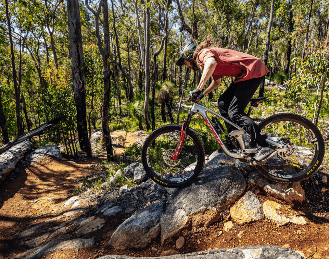
Recommended for experienced riders with good technical skills. Variable surfaces and/or steep gradients. Riders will encounter large obstacles and technical trail features.
A black option for those descending the Dam It trail.
A black (difficult) cross-country descending trail with technical rock gardens and some interesting options for the more game riders.
This is an alternate black line descent starting just after Dam It trail starts.
Visit Collie
Experience adventure exploring the network of diverse trails, pristine lakes, waterways and river pools. Reconnect with nature in the magnificent national park or relax and soak up Collie’s rich cultural and historical heritage.
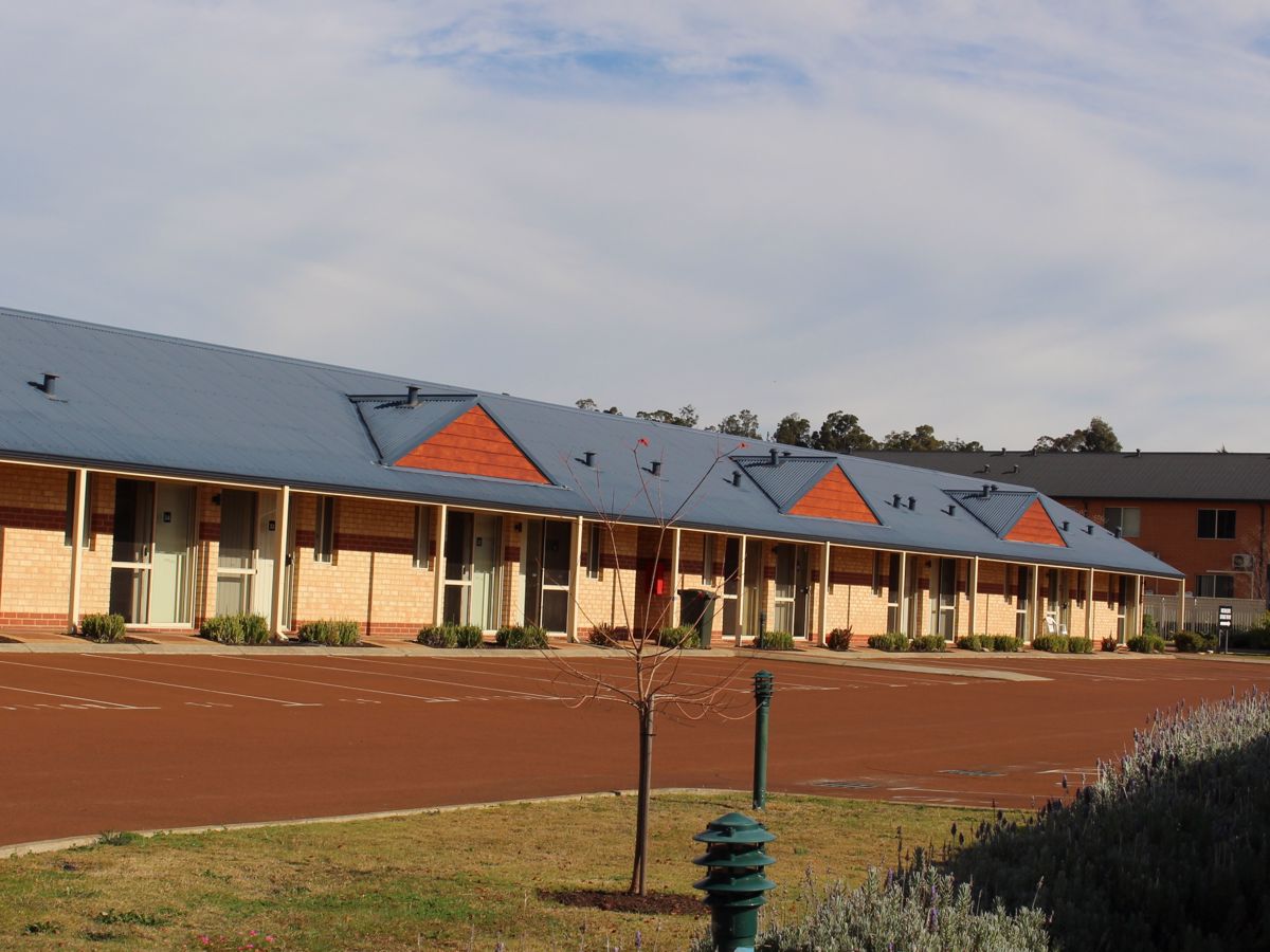
Mandia is a quiet rural property that has a range of beautiful rooms available three kms north of Collie.
The Tuscan inspired BBQ area is a perfect outdoor setting amongst the garden.
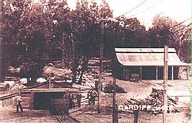
The Visitor Centre can provide extensive information on the region with maps, brochures, and a photographic display. We also have videos on local history, mining and power generation.
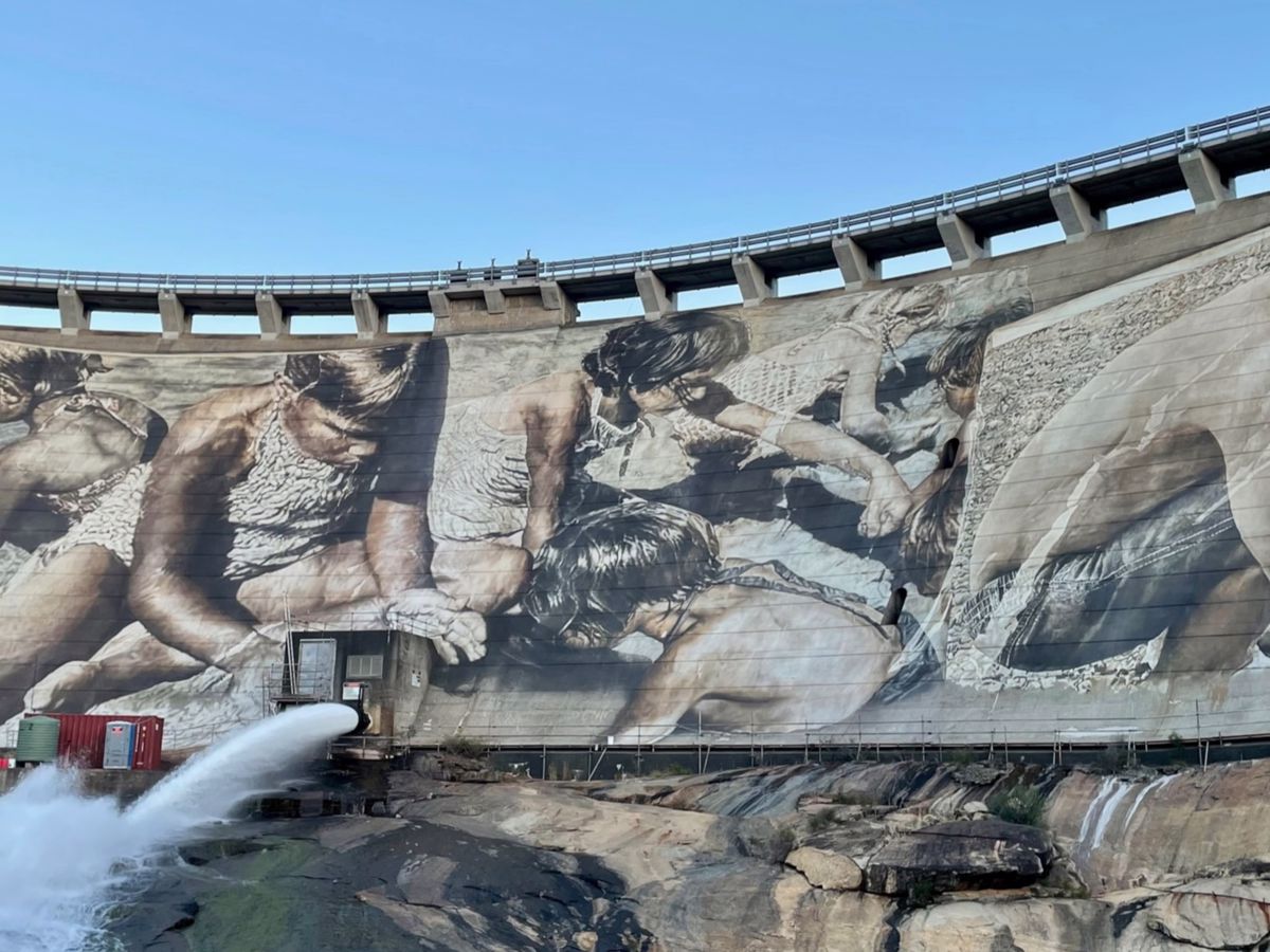
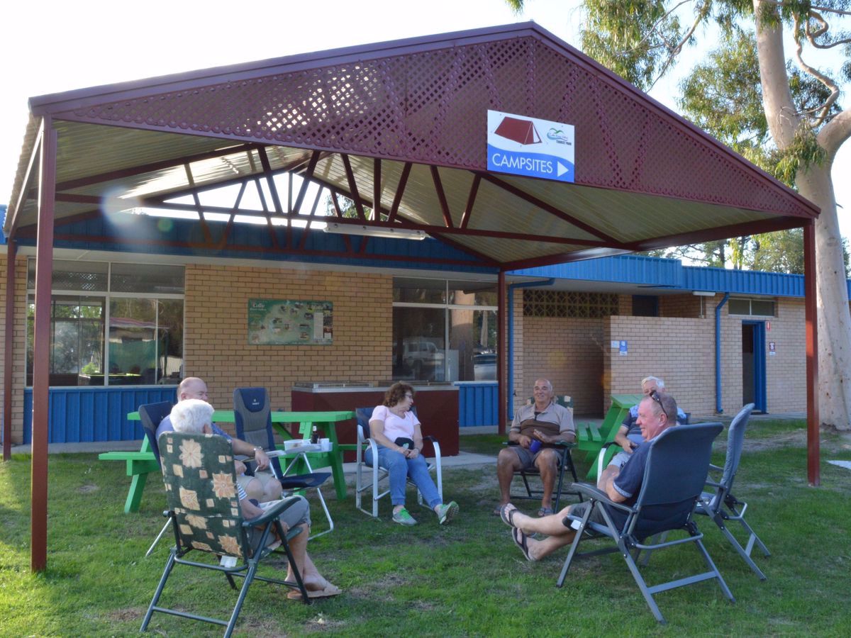
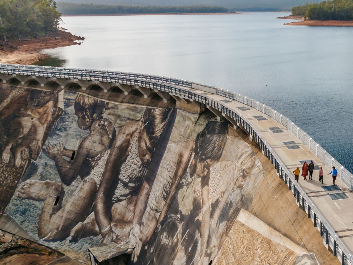
Be welcomed by our friendly staff when staying in Collie with your tent, caravan or in one of our cabins. The rivers, murals, walks and mountain bike trails are waiting.
Be trail ready for Firetail, Wambenger Trails, Wellington NP
Here is everything you need to know before visiting this trail.
Time / Duration
5 minutes
Length
300 metres single direction
What To Pack
Group C - Mountain Biking & Gravel
(Mountain bike, gravel and touring trails.)
required.
What To Pack
Group C - Mountain Biking & Gravel
(Mountain bike, gravel and touring trails.)
Always ride with a buddy and ride within your skill level
Bike tools and spares (E.g. Mini bike-pump, spare tubes, puncture repair kit)
Helmet, consider a full-face helmet for more difficult trails
Water
Snacks/ food
Sun protection: sunglasses and sunscreen (SPF 30+)
Additional protective gear: gloves, body armour
For remote trails consider a PLB (Personal Locator Beacon) or satellite phone
For longer trails take extra food and water
Always have a first aid kit (vehicle nearby or on you for longer trails) and check that items are clean, properly sealed, have not exceeded expiry dates and that used items have been replaced
Extra food and water in case of unexpected delays
Trail Start
Top section of Dam It blue descending trail, Wellington National Park, 185km south of Perth.
Recommended for experienced riders with good technical skills. Variable surfaces and/or steep gradients. Riders will encounter large obstacles and technical trail features.
Mountain biking is a potentially dangerous activity with inherent risks. Ride within your skills and abilities. Ride with a buddy. Do not rely on your mobile phone. Coverage in the area is limited.
2WD. Approximately 2.5 hours drive from Perth and 45 minutes from Bunbury or 30 minutes from Collie. Enter the national park from the north on Coalfields Highway or from the south on Pile Road and follow the signs to the Kiosk.
Trails are free and bring so many benefits to our community by providing opportunities to have fun, get fit, socialise, explore and challenge yourself. But they also have to be managed and maintained which only is made possible through terrific sponsors, donations and/or volunteering.
@by_denzil
Firetail
View 1 Photos
of Firetail, Wambenger Trails, Wellington NP
Upload your photo of Firetail, Wambenger Trails, Wellington NP
Report a Problem
You are reporting a problem for Firetail, Wambenger Trails, Wellington NP. Please be as detailed as possible to help us appropriately identify and address the issue.
Please sign in or join up
Join Trails WA
Join trails wa to add this trail to your favourite. By joining you will also be able to rate and review trails and share your photos with other trail goers!