Sebastien Corre rated Djidi-Djidi Ridge, Chittering a 5 out of 5
Beautiful!! Went there with my 3 years old daughter. It was magical.

Trails WA supports the seven principles recommended by Leave No Trace Australia for minimising your impacts when using the trails.
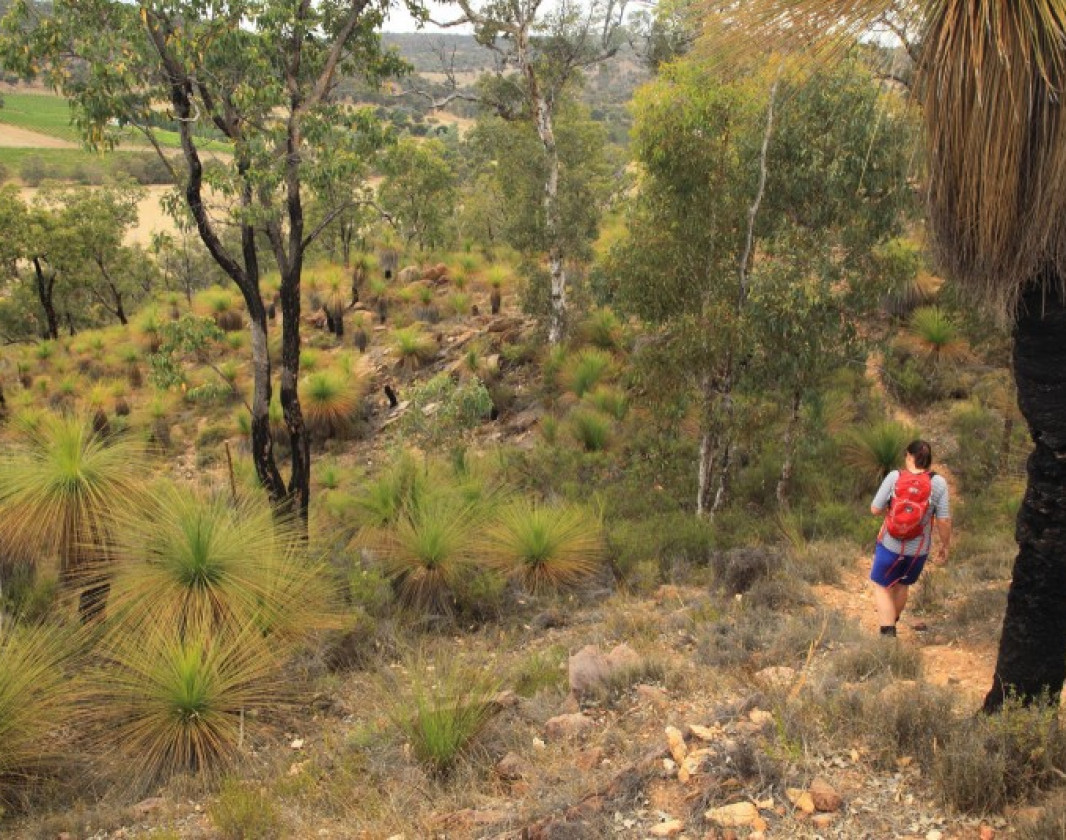
Learn moreStart from the northern end of the picnic area where you will spot, through the trees, a footbridge which crosses a small creek. The lower slopes of the ridge support a marri-wandoo woodland with its understorey of heath plants. A second footbridge then crosses a very small creek which is dry for most of the year.
The marri-wandoo woodland thins out and heath vegetation becomes more dominant as you climb the gentle slope of the trail. The upper slopes are dominated by grasstrees. Looking uphill to the left of the track is a depression in the hillside, it is covered in grasstrees and looks particularly attractive in spring.
On the final ascent, the trail passes around the side of the ridge before crossing the summit and leading to a lookout. From here there are spectacular views across the Chittering Valley.
If you would like to extend your walk you can explore the walkable firebreak trails around the reserve.
(08) 9576 4664
Djidi-Djidi Ridge Wildflower Walk brochure
Djidi-Djidi Ridge Walk Trail brochure
Comprehensive information on the Perth region including destinations, things to see and do, accommodation and tours.
Here is everything you need to know before visiting this trail.
45 minute return
1.5km return
Group B - Hiking & Long Distance Trails (Bushwalks and/or longer trails) required.
Group B - Hiking & Long Distance Trails (Bushwalks and/or longer trails)
If you would like to extend your walk you can explore the surrounding firebreak trails.
No drinking water is available at the reserve.
Dogs are welcome but please leave them on leash.
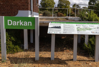
3231 Chittering Road, Upper Chittering (90km and one and half hours north of Perth)

Class 3
Moderate trail that may have short steep hills, rough surface, many steps or some rock hopping. Directional signage. Some bushwalking experience and moderate fitness required.
Visit Trail Tips for further information.
Loose gravel and is up hill
August, September, October
Drive


Earn points and badges and become a "TrailsWA Expert" by completing trails and leaving reviews.
Earn 2 points towards
your TrailsWA level


We love to hear from people who've been on our Western Australian trails, so it would be most appreciated it if you wanted to leave a review.
Trails are free and bring so many benefits to our community by providing opportunities to have fun, get fit, socialise, explore and challenge yourself. But they also have to be managed and maintained which only is made possible through terrific sponsors, donations and/or volunteering.


View 10 Photos of Djidi-Djidi Ridge, Chittering
You are reporting a problem for Djidi-Djidi Ridge, Chittering. Please be as detailed as possible to help us appropriately identify and address the issue.

Join trails wa to add this trail to your favourite. By joining you will also be able to rate and review trails and share your photos with other trail goers!
Sign in to your account to add this trail to your list of favourites, and much more.