Coalmine Beach to Nornalup, Kapagup Nornalup Paddle Network Coalmine Beach to Nornalup, Kapagup Nornalup Paddle Network
Paddle in South West
Part of
Kapagup Nornalup Paddle Trail Network
network



Trails WA supports the seven principles recommended by Leave No Trace Australia for minimising your impacts when using the trails.
Learn moreAbout Coalmine Beach to Nornalup, Kapagup Nornalup Paddle Network
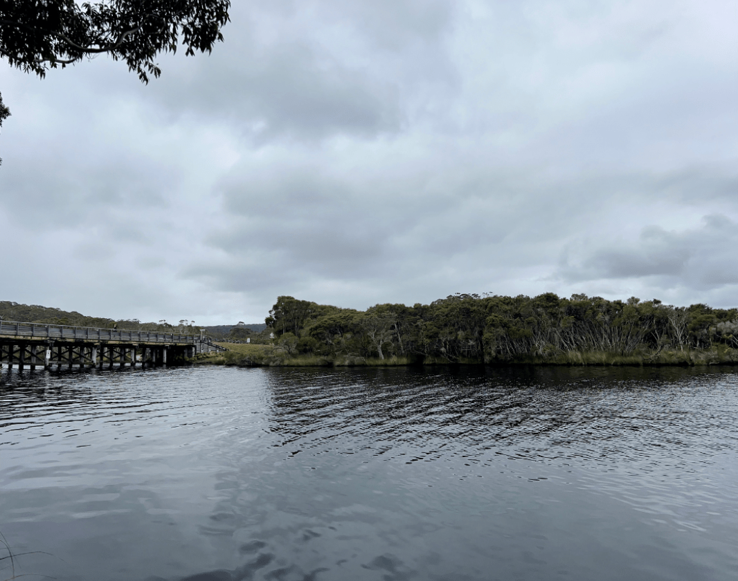
Although the largest river by volume in the region, the Frankland River has a peaceful feel as it sweeps lazily around the bends to where it meets the Nornalup Inlet. It provides a lifeline for creatures both in the water and in the forest that line its banks.
Black bream, whiting and southern blue spot flathead are just a few of at least 40 fish species that have been recorded here. Keep an eye out for waterbirds as you approach the delta of the Frankland River. You might see black swans, swamp hens, cormorants and herons.
From Coalmine Beach, paddle east around the northern edge of the Nornalup Inlet and then follow the Frankland River up to Nornalup.
Offering protection from the wind, the lower Frankland River is classified as easy with slow to fast moving water and few obstacles. Although the river flows all year round, about eighty percent of the discharge occurs during winter and spring, which can result in seasonal currents requiring advanced paddling skills.
The Nornalup Inlet is exposed to wind, waves and tidal currents and is appropriate for medium to advanced paddlers. Weather conditions can change quickly and paddlers need to ensure that their skills are sufficient to manage the entire trip (self-rescue and navigation skills required).
This trail is 9km one way between Coalmine Beach and Nornalup. There is water access and carparking at either end.
You can paddle to a range of destinations from Coalmine Beach. Look for other suggestions in the Kapagup Nornalup Paddle Network on TrailsWA or on the trailhead signage at Coalmine Beach.
Walpole-Nornalup Visitor Centre
(08) 9840 1111
- [email protected]
- Visit website
- Pioneer Park, South Coast Highway, Walpole WA 6398
Other Links
-
Australia’s South West
Comprehensive information on the South West region including destinations, things to see and do, accommodation and tours.
Be trail ready for Coalmine Beach to Nornalup, Kapagup Nornalup Paddle Network
Here is everything you need to know before visiting this trail.
Length
9km one way
What To Pack
Group F - Paddling Trails (Paddling trails) required.
What To Pack
Group F - Paddling Trails (Paddling trails)
- Plenty of water and food for the duration of trip.
- Sun protection: hat, sunglasses and sunscreen (SPF 30+)
- Clothes to suit the activity and potential weather conditions
- Lifejacket or floatation device
- EPIRB, PLB or Flares
- Leg or paddle leash if paddling in the ocean
- A paddling helmet is recommended for paddling in whitewater and surf
- Always refer to the comprehensive safety guidelines found on the individual trail listings
Additional Useful Items
• Always let someone know of your trip plans.• Check the weather forecast, tide charts and be aware of strong south-easterly winds. Conditions can change rapidly.
• Plan your trip according to your ability and fitness level.
• Wear appropriate sun protection (hat, sunscreen, long sleeves).
• Wear a life jacket.
• Take adequate drinking water.
Facilities
- Bicycle Rack
- Car Park
- All accessible parking
- Picnic Area
- Public Toilet
- Shaded Area
- Sheltered Area
- All accessible toilet facilities
- Water Access Points
Trail Access
Walpole is about 430km south of Perth. Coalmine Beach is 4.5km east of Walpole via the South Coast Highway and Coalmine Beach Road


Complete Coalmine Beach to Nornalup, Kapagup Nornalup Paddle Network to earn badges and points!
Earn points and badges and become a "TrailsWA Expert" by completing trails and leaving reviews.
Earn 2 points towards
your TrailsWA level
Earn the Paddle badge when you complete this trail.


Be the first to review Coalmine Beach to Nornalup, Kapagup Nornalup Paddle Network
We love to hear from people who've been on our Western Australian trails, so it would be most appreciated it if you wanted to leave a review.
Add your review of Coalmine Beach to Nornalup, Kapagup Nornalup Paddle Network
Like this trail? Explore others nearby
More around South West
 Full day
 260km
260km


Mount Pingerup Walk Trail, D’Entrecasteaux NP
-
 1-3 hours
-
4.8km


Blindside, Nannup Tank 7 Mountain Bike Park
-
Less than 1 hour
-
1.2km

Tiger King, Nannup Tank 7 Mountain Bike Park
-
1-3 hours
-
1.7km

Supported by great organisations
Trails are free and bring so many benefits to our community by providing opportunities to have fun, get fit, socialise, explore and challenge yourself. But they also have to be managed and maintained which only is made possible through terrific sponsors, donations and/or volunteering.
-(1680-×-200-px).jpeg)


Frankland River, near Nornalup

Pelicans, Coalmine Beach

Coalmine Beach

Frankland River aerial

Frankland River

Frankland River

Nornalup canoe launch

Rest stop on the Frankland River, near Nornalup
View 8 Photos of Coalmine Beach to Nornalup, Kapagup Nornalup Paddle Network
Upload your photo of Coalmine Beach to Nornalup, Kapagup Nornalup Paddle Network
Report a Problem
You are reporting a problem for Coalmine Beach to Nornalup, Kapagup Nornalup Paddle Network. Please be as detailed as possible to help us appropriately identify and address the issue.