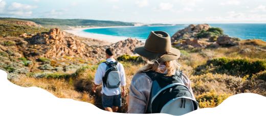
Plan ahead before you visit
Mt Augustus National Park is remote and conditions can be harsh. There is no drinking water in the park and mobile phone coverage is extremely limited.
Trails in this network include exposed, rocky and physically demanding walks. Heat stress is a serious risk, especially during warmer months. Avoid walking in hot weather, walk during the coolest part of the day and choose a trail that suits your fitness and experience.
Carry and drink plenty of water, wear sturdy footwear, sun protection and suitable clothing. Stay on marked trails and tell someone your plans before you go. A Personal Locator Beacon or satellite phone is strongly recommended for remote travel.
Some trails have additional safety advice, start-time recommendations or trail-specific warnings. Always read the individual trail listing before you set out.
Mt Augustus National Park
Nestled in the heart of the outback, Mount Augustus (Burringurrah) National Park is home to many superb walking trails and a drive trail around the mountain where you can view incredible scenery. The park’s centrepiece, Mount Augustus, is an ‘inselberg’ or ‘island mountain’ that rises impressively over the surrounding alluvial plains. Discover ancient Aboriginal rock engravings (petroglyphs) and enjoy the unique wildlife, including mulga parrots, emus, bungarras (goannas), red kangaroos and birds of prey.
Bush Walk network in Coral Coast
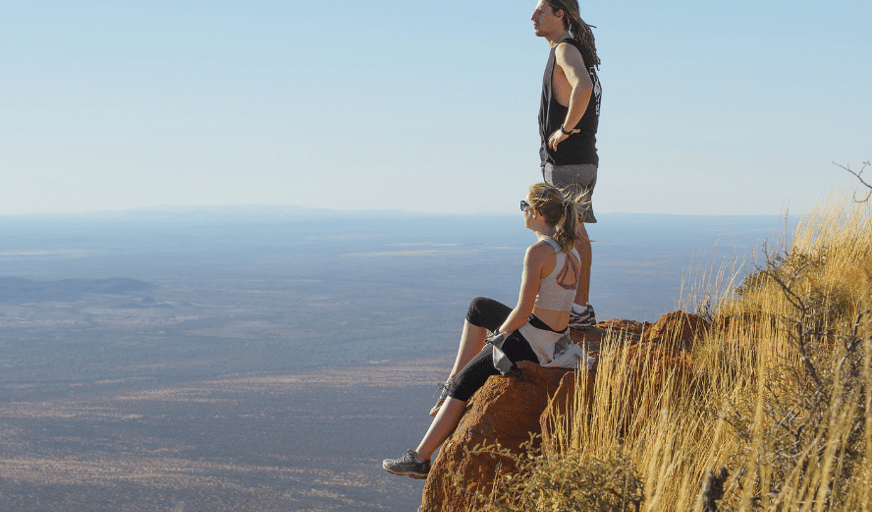


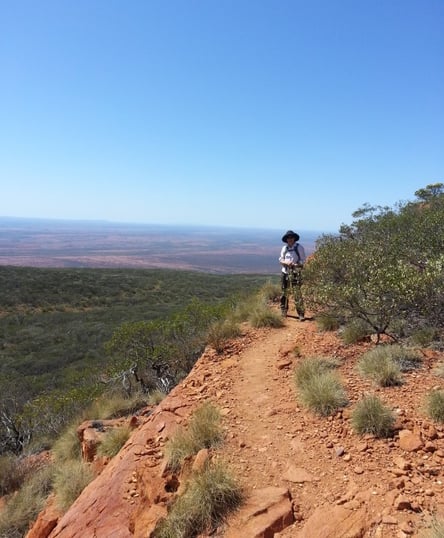

 +53
Overview
Mount Augustus (Burringurrah) is an impressive mountain that offers rocky creeks and gorges, scenic views across open plains, Aboriginal rock engravings and a variety of wildlife and wildflowers. The Wajarri name for the site is Burringurrah, named after a boy who was undergoing his initiation into manhood. The rigours of this process so distressed him that he ran away, breaking Aboriginal law, and was killed after being chased and hit by a fighting stick. You can see his final resting pose as you approach Mount Augustus from the south. Aboriginal occupation is evidenced by engravings on rock walls at Mundee, Ooramboo and Beedoboondu visitor sites, and by numerous stone tools discovered in the area.
Marvel at the sheer scale and fascinating ancient geology of Mount Augustus on the 49km (2WD friendly) Loop Trail, which allows access to all places within the park. There are a range of walking trails of varying degrees of length and difficulty. It is recommended to spend a few days doing shorter hikes before considering the longer and much more difficult trails. In cooler months, experienced bushwalkers can take on the challenging climb to the summit. All trails in the park are essentially unmodified, often steep and with limited directional signage on the difficult trails. Hikers should read the accompanying information on each trail before hiking. Please respect the Wajarri Traditional Owner’s request that visitors do not walk the mountain at night for reasons of safety and heritage protection.
Getting There
Mount Augustus is a two day drive from Perth via Carnarvon or Meekatharra. The park is 465km from Carnarvon via Gascoyne Junction. The road between Carnarvon and Gascoyne Junction is sealed but all other roads in the area are unsealed. The roads are suitable for 2WD, but take caution with road dips. Be aware that there are long distances between settlements, fuel, supplies and services – this is outback Australia.
Accommodation
· Mount Augustus Tourist Park
Facilities
· Toilets
· Information
· Telephone
· Shop and fuel (Mount Augustus Tourist Park)
· Picnic Tables
Can’t find something you’re looking for?
Our Explore Map tool provides a lot of detail and filters to help explorers find the best and most suitable trails. Head on over to our Explore Map for greater search capacity.

Supporters & Partners
Trails are free and offer countless benefits to our community, from fostering fun and fitness to encouraging social connection, exploration, and personal challenges. These exceptional trail experiences are made possible through the support and collaboration of these great organisations and initiatives:


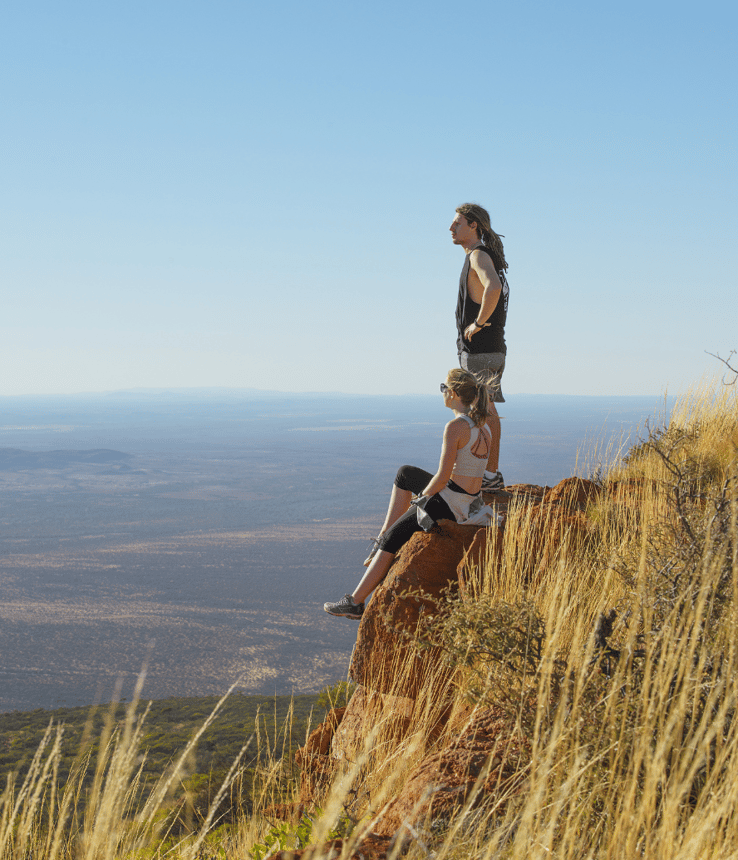
Network Card Mt Augustus Np Tourism Wa


Summit Trail climb

Summit Walk

Edney lookout

Mundee Petroglyphs

Aboriginal etchings on Ooramboo Trail

Reflections Ooramboo Trail

Edney's Trail


Flintstone Rock

Emu Hill Lookout, Mt Augustus NP


Edney's Trail

Goordgeela hike

Kotka Gorge
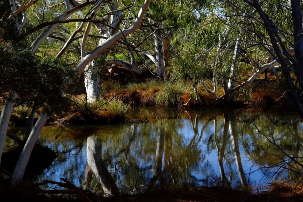
Cattle Pool

The view Saddle Trail

The Loop Trail, Mt Augustus NP

Mt Augustus
View of Mount Augustus from Emu Hill lookout


Flintstone Rock view

Edney's trail
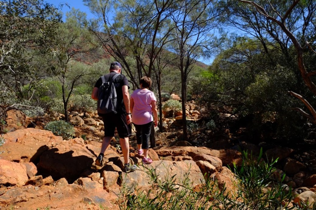
Gum Grove Trail

Mundee Petroglyph Trail

End of Saddle Trail

At the top


The Loop Trail, Mt Augustus NP
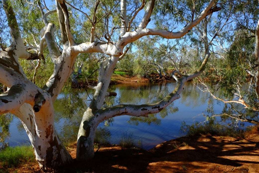
River gums at Cattle Pool
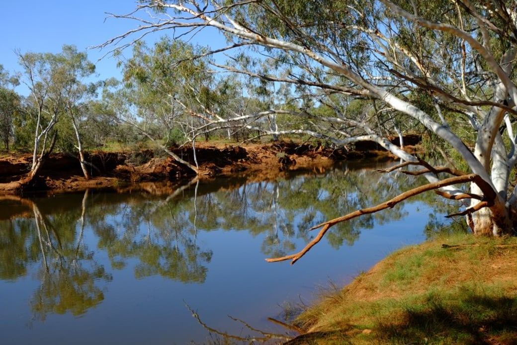
Cattle Pool

River red gums at the beginning of the Summit Trail

Saddle Trail interpretive signage

Edney's Trail

Ooramboo Trail signage

Aboriginal etchings at Ooramboo Trail

Waterfall in Kotka Gorge

Views hiking Goordgeela Trail

Kotka Gorge Trail
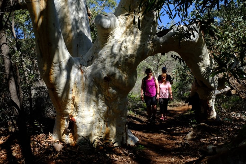
Gum Grove Trail

Ooramboo Trail creek crossing

Signage to Kotka Gorge

Colours of flower season

Mundee Petroglyph interpretive signage


Start of trail

Edney's Trail

Aboriginal artwork under Flintstone Rock

Red rocks of Kotka gorge

Mundee Petroglyphs


Mundee Petroglyphs
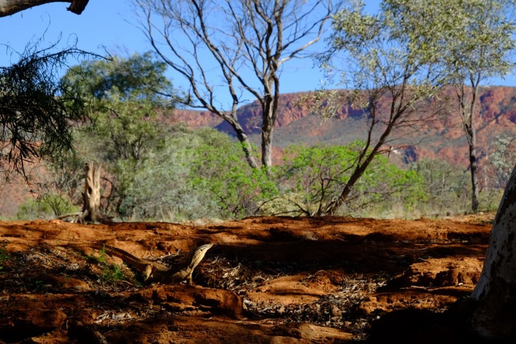
Goanna at Cattle Pool

Awesome views
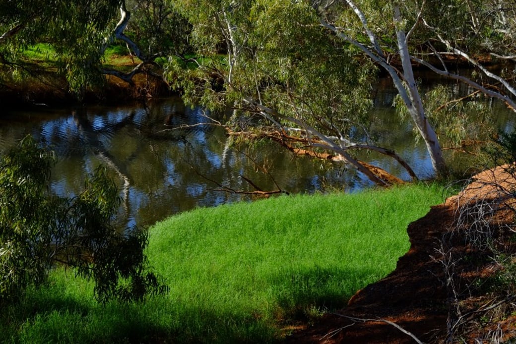
Grassy bank, Cattle Pool


Goordgeela hike