Kapagup Nornalup Paddle Trail Network
Paddle network in South West
About Kapagup Nornalup Paddle Trail Network
The Walpole and Nornalup inlets are a permanently open estuarine system that experiences marine-like conditions for most of the year. The open inlet mouth, the mixing of fresh river and salty ocean waters and healthy riparian vegetation result in diverse marine habitats and a high diversity of marine flora and fauna.
You can launch your kayak at a number of sites around the marine park such as Walpole Town Jetty, Rest Point or Nornalup. From each launch site, you can choose where to paddle depending on your ability and time frame. You can paddle up the Deep, Frankland or Walpole rivers or explore the Walpole or Nornalup inlets. You can paddle over to Sealers Cove and then walk to Circus Beach and the wild Southern Ocean. It's completely up to you!
The trailhead signage at each launch point will give you several suggested destinations. Paddles range from 3 km to 12 km one way. Check the weather conditions before you go and choose a destination that is suitable for your paddling experience.
Offering protection from the wind, the lower Walpole, Deep and Frankland rivers are generally classified as easy with slow to fast moving water and few obstacles. Although the Frankland and Walpole rivers flow all year round, about eighty percent of the discharge occurs during winter and spring, which can result in seasonal currents requiring advance paddling skills.
The Nornalup Inlet is exposed to wind, waves and tidal currents and is appropriate for medium to advanced paddlers. Weather conditions can change quickly and paddlers need to ensure that their skills are sufficient to manage the entire trip (self-rescue and navigation skills required).
Walpole-Nornalup Visitor Centre
(08) 9840 1111
- [email protected]
- Visit website
- Pioneer Park, South Coast Highway, Walpole WA 6398
Other Links
Can’t find something you’re looking for?
Our Explore Map tool provides a lot of detail and filters to help explorers find the best and most suitable trails. Head on over to our Explore Map for greater search capacity.

Supported by great organisations
Trails are free and bring so many benefits to our community by providing opportunities to have fun, get fit, socialise, explore and challenge yourself. But they also have to be managed and maintained which only is made possible through terrific sponsors, donations and/or volunteering.


Kapagup Gallery Demo
Kapagup Gallery Demo
Walpole Town Jetty

Nornalup canoe launch

Kapagup Nornalup Paddle Trail Network

Frankland River

Sign at Nornalup canoe launch

Circus Beach

Monastery Landing

Deep River

Coalmine Beach
Frankland River
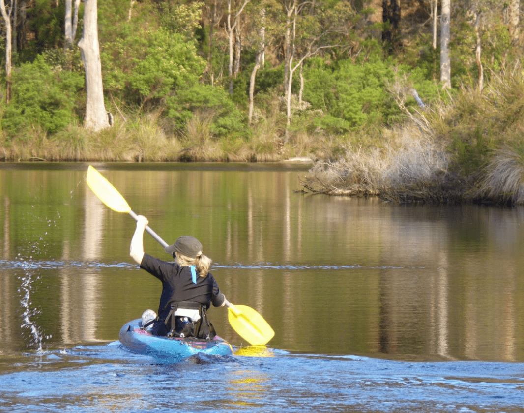
Kayakers

Rest stop on the Frankland River, near Nornalup

Sealers Cove

Swarbrick Jetty

Nornalup launch jetty
Nornalup canoe launch

Rest Point

Frankland River, near Nornalup

Frankland River
Frankland River
View of the Deep River mouth

Walpole and Nornalup Inlets
Kapagup Nornalup Paddle Trail Network

Deep River

Sealers Cove

Deep River Suspension Bridge

Frankland River, part of the Kapagup Nornalup Paddle Trail Network
Kapagup Nornalup Paddle Trail Network

Paperbark trees along the waters edge

Paddling from Isle Road
Walpole Town Jetty

Kapagup Network

Osprey along the water's edge

Sealers Cove picnic grounds
Sealers Cove
Kapagup Nornalup Paddle Trail Network

Shelter, Coalmine Beach
Paperbark trees along the waters edge

Reflections on the water
Walpole and Nornalup Inlets
Deep River
Deep River Suspension Bridge
Rest Point

Frankland River
Deep River
Walpole and Nornalup Inlets
Paddling along Deep River
Paddling with views of the forest

Walpole Inlet
Deep River Suspension Bridge
Deep River
Rest Point
Walpole Inlet
Deep River
Reflections on the water

Pelicans, Coalmine Beach
Frankland River aerial
Paperbarks along the river
Pelicans, Coalmine Beach
Paddling the Frankland River
Walpole Town Jetty
Coalmine Beach
Deep River mouth

Views of the forest from the water
Deep River
Deep River
Paddling the inlet

Deep River Suspension Bridge
Osprey along the water's edge

Frankland River
Swarbrick Jetty
Coalmine Beach Picnic Area
Coalmine Beach
Sealers Cove picnic grounds
Rest Point
Sealers Cove
Circus Beach
Kapagup Nornalup Paddle Trail Network
View 78 Photos of Kapagup Nornalup Paddle Trail Network
